
ACROSS THE KINSMANS: 8/9/16
A sunny and not-very-humid day was ideal for the south-to-north traverse across South and North Kinsman, going up Reel Brook Trail and down Mount Kinsman Trail. The 6.5 mile southern approach to South Kinsman is varied, interesting and rugged, reminiscent of an Adirondack 46 hike. Highly recommended.
The "official" parking area for Reel Brook Trail is rough and rocky. I always park in a pulloff 0.2 mile back down the road.

An early morning powerline crossing on Reel Brook Trail = wet boots (and ticks in spring).

Reel Brook Trail crosses its namesake three times.

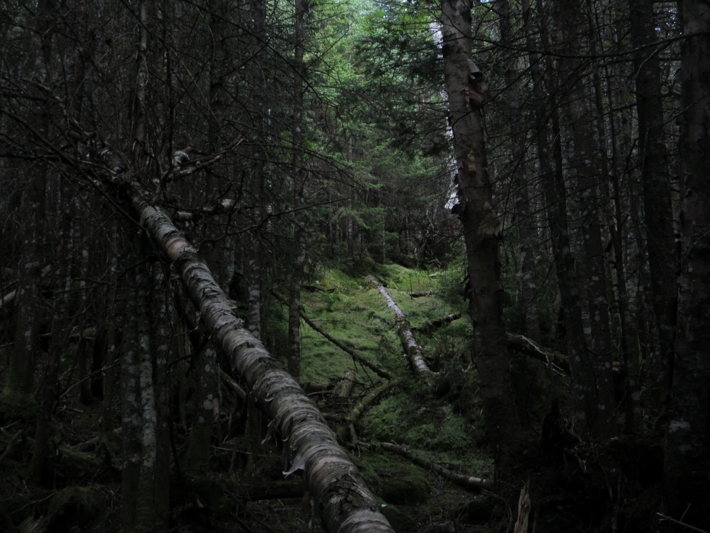
Mature hardwood forest up slope, high on the trail.

Cliffs on the Kinsman side of the "original" Kinsman Notch, now traversed by the powerline.

Powerline view to the SE.

Bog Pond.

The (rare) gentle side of Kinsman Ridge Trail, descending to Eliza Brook Shelter.

Great secluded location for a shelter.

Eliza Brook Shelter, rebuilt in 2010.

So far this message has been heeded.

Tent pad.

Eliza Brook at the lower trail crossing.

One of the joys of this route is the series of cascades as the trail ascends along Eliza Brook, even with near drought-level water flow.

One of many amber pools.

This one would be impressive in high water.

Streamside boulder.

Looking down into a sluice and gorge.

Rocky spine on the steep climb to Harrington Pond.

Inviting corridor.

The gateway to Harrington Pond.

Harrington Pond and its surrounding bog, nestled on a high shoulder at 3400 ft., a remote and wild setting.

The last time I was here was a few winters ago on a snowshoe bushwhack with John "1HappyHiker" Compton.

There were many pitcher plants out on the bog.

Wild cliffs.

The summit is way up there.

Much of the climb from Harrington Pond to South Kinsman is proverbially "steep and rough."

More of the same.

Getting closer - another glimpse of the summit from a 4000-ft. shoulder.

Many minor scrambles.

Early view to Osceola and the Sandwich Range.

A thru-hiker picks his way upward.

Looking back to Mount Moosilauke.

Yikes!

Looking down.

Many peaks rise beyond the great SE ridge of South Kinsman.

Looking down the Eliza Brook valley to Bog Pond and Mount Wolf.

A great open stretch of trail near the top.

This trailside ledge was a great spot for a leisurely late lunch.

Harrington Pond, which was "discovered" by early 1900s AMC trail-builder Karl Harrington while laying out the Kinsman Ridge Trail. Of this view, Harrington wrote: "...a wee mirror of water set in its little cup far below, reflecting over the treetops a shimmering glint."

Ponds both tiny and sprawling in the same scene.

The open south knob of the summit was 125 yards farther.

This thru-hiker, an older southern gentleman, averred that the climb up South Kinsman was among the hardest he'd ever done, including Kilimanjaro. "Those trails on Moosilaukee were a children's playground compared to this!"

Vast western horizons, getting hazy. All 5 of the Vermont 4000-foot peaks were faintly visible.


The summit cairn has been fashioned into an east-facing throne.

Nice woods descending South Kinsman. This section of Kinsman Ridge Trail is well-maintained by J.R. Stockwell.

The North Kinsman view ledge was empty in late afternoon.

A drop down a steep, rough side path rewards with the classic bird's eye view of Kinsman Pond.

The little white speck above the shore towards the right end is the wing of a small airplane that has been there at least since the early 1980s. I don't know the story behind it.

Franconia Ridge and Lonesome Lake.

Looking out over the vast basin of Cascade Brook.

A view of South Kinsman you don't get from the upper view ledge.

The route back to the road. This trail is admirably maintained by adopter Bruce Richards and has seen some recent good work by the Trailwrights.

Ferny forest a little way down.

This short abandoned section of Mount Kinsman Trail has reverted to moss in not too many years.
Terribly blurry pic of a Saw-Whet Owl who stared at me as I passed by, about halfway down the upper section of Mount Kinsman Trail.

An interesting partly vegetated rootball.

The "warrior tree," a favorite yellow birch below the Bald Peak spur junction.

Cole Hill and the fields of Easton along Route 116. I lucked out with a ride from a kind local resident, avoiding a three-mile road walk at the end of a long day. Thank you!

Wow, what a great trek. I love the small, remote pond (Harrington) around South Kinsman that you highlight. Does the trail go by it or do you have to bushwhack to it?
ReplyDeleteAnd the wing of the airplane you note, have you ever been out to that site? Is there a complete airplane out there?
GREAT FIND with the owl! That's so cool!
Thanks for a good read and report!
Karl
Thank you, Karl! The trail does go right by the edge of the bog at Harrington Pond on split-log walkways. A very neat spot!
ReplyDeleteI stumbled upon that airplane wing in the early 1980s, but was not able to find it on subsequent visits. It was interesting to spot it again from above - maybe a tree fell to reveal it? It's not too far above the Kinsman Pond Trail towards the south end of the pond, but the woods are pretty thick.
I was hoping to get a photo of the owl with better focus, but he flew away just as I was ready to hit the button. First Saw-Whet Owl I've seen in many years.
Steve
My wife and I saw the wing in summer of 1978. I always wondered what happened to the rest of the plane.
ReplyDelete