
On a partly sunny and somewhat humid day I took a grand tour of ledges and ponds on the sprawling ridges of Bald Cap Mountain in the southern Mahoosuc Range. This 12-mile lollipop loop followed the Austin Brook Trail, Dryad Falls Trail, Peabody Brook Trail, Bald Cap Ledges Spur, and Mahoosuc Trail.
This turnstile is a unique entrance to the Austin Brook Trail, off North Road in Shelburne.

AMC and Shelburne Trails Club (STC) signs.

Austin Brook, aka Mill Brook.

After 1.3 miles, the Austin Brook Trail follows a grass-and-gravel logging road for a while, passing two log yards-turned-meadows with views of nearby ridges. (A large logging job in this area, which is privately-owned timberland, concluded around 2010.) At the first meadow you can see Middle Mountain, which is reached by a STC trail.

A view of several of Bald Cap's ledgy spurs and humps from the second meadow.

Junction signs.


The waterfall was just a trickle in this dry season. Its name was bestowed by AMC explorer Eugene B. Cook, who explored this region during the 1870s in company with the intrepid Lucia and Marian Pychowska and other AMC stalwarts. The name "alludes to its aspect in any but a rainy season," wrote the Pychowskas in their 1879 account of their explorations of "Baldcap Mountain," which was published in the AMC journal, Appalachia.

Even with low flow, the ledges of Dryad Fall are a cool spot, with a nice view to the SE.

Looking down the big drop.

A geocache!

A logging artifact along the edge of the Dryad Falls Trail, which here follows an old tote road.
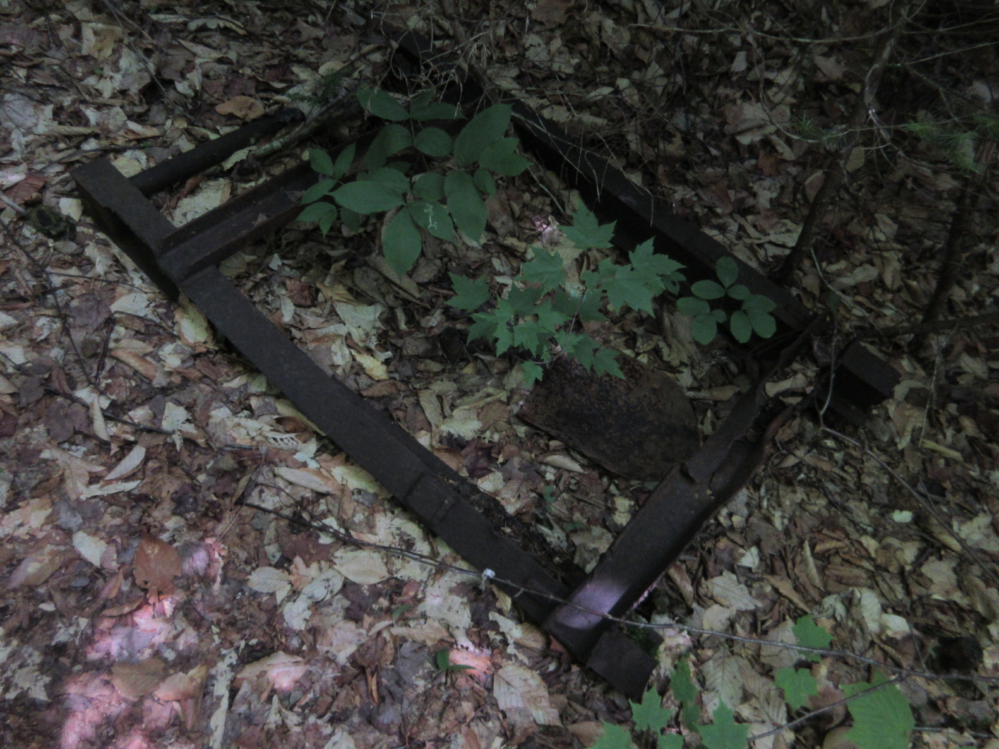
This large artifact might have been used to lower logs down the steep slope, or even the brookbed.

Hobblebush on the upper Dryad Falls Trail.

This spur trail was opened by the Shelburne Trails Club in 2012. It is admirably maintained by John "1HappyHiker" Compton. It partly follows the route of a trail that was originally cut in 1877 and was abandoned in the 1960s.

This wild path, a half-mile long, is a great addition to the varied and interesting Shelburne trails network.

The Bald Cap Peak Ledges are a commanding viewpoint. This was my third visit; the previous two were via bushwhack. Middle Mountain is seen close in below on the right. The old trail made a steep ascent from that fine little peak.

Looking east to Bear Mountain in the eastern Mahoosucs.

The three Moriah peaks are seen across the Androscoggin River valley.

The hazy Presidentials in the distance.

Plank walkways on the Peabody Brook Trail.

Dream Lake, secluded and serene.

Looking down the length of Dream Lake to the dim outlines of Mt. Washington and Mt. Adams.

One of the classic long trails of the White Mountains. This section was completed in the 1920s.

Just north of Dream Lake it meanders through a ridgetop bog.

Wild spruce forest typical of the southern Mahoosuc ridges.

A bushwhacker's bad dream.

Descending towards Moss Pond.

Ferny forest nearing the pond.

Moss Pond, aka Upper Gentian Pond, peaceful and pristine. It was discovered by the Cook-Pychowska exploring group in 1876. Wrote the Pychowskas, "...we came upon a small sheet of water, partially filled with lily pads, and surrounded by beds of moss."

I sat here for quite a while on a small rock seat.

This cow moose slowly worked her way along the far shore, then settled down for a rest in the waterside brush, her ears constantly flapping to keep bugs away.

Back in the 1990s Mike Dickerman and I watched a bull moose swim across this same pond. No bulls in sight today, but I'm ready to rename this "Moose Pond."

Parting shot, showing the rock seat.

Primeval.

Gentian Pond, overlooked by wild cliffs. Gentian was a busy place with AT thru-hikers and other backpackers settling in for the evening at the shelter just above the pond. This pond was also discovered by the Cook-Pychowska group in 1876: "This was an exquisite pond, larger than the other...Having gathered some bottle-gentian by the shore, we ventured to bestow the name of Gentian Pond."

I had thought of bushwhacking to the clifftop from Moss Pond for its unique bird's-eye view of Gentian Pond, but the moose was relaxing by the route I would have taken, and I didn't want to disturb her. Here's a photo of that view, taken during a trip with Keith D'Alessandro in 2006.

The view from Gentian Pond Shelter.

The Austin Brook Trail is steep as it descends off the shelf that holds Gentian Pond.

Beaver pond along the Austin Brook Trail at the base of the steep slope.

An unusual blaze tree.

Steve, it was truly enjoyable to read about your grand tour of ledges and ponds on Bald Cap Mountain. Also, I'm glad you had the opportunity to trek along the relatively new Bald Cap Peak Ledges Trail. As you stated, this half-mile long trail, is a great addition to the network of trails managed by the Shelburne Trails Club.
ReplyDeleteJohn
Thanks, John - that's a neat area, and the Bald Cap Peak Ledges Trail quickly became a favorite! Thanks for all your work on it - much appreciated!
DeleteSteve