
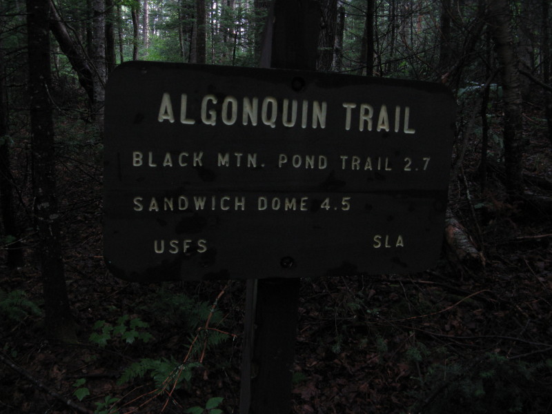
Perhaps the most scenic of the several trails on Sandwich Dome is the Algonquin Trail, which starts on Sandwich Notch Road and climbs up the ledgy SW shoulder of the mountain. This route has many open views and features some steep rock scrambling, including one fairly tricky spot.
Driving to the trailhead, 3.7 miles from Rt. 49 in Thornton, is always an adventure. This narrow dirt road is slow, rough going, and steep in places. Special care is needed with low-clearance vehicles. There are a couple of small parking spots by the trailhead. I got an early morning start on a day that was supposed to be sunny, but didn't turn out that way.
Within 100 yards the trail enters the Sandwich Range Wilderness; this area was part of the 2006 expansion of the Wilderness boundaries.

The first mile of the trail follows an old logging road at a gentle grade with good footing, leading through a lush mixed forest.

Partway in you cross a nameless brook.
 At 0.9 mile you walk through a brushy logging camp site. Back in the 1980s I had a surprise encounter here with a bear who was feeding up in an old apple tree. I took off at a fast pace up the trail, and heard him come crashing down out of the tree in a hurry.
The next half-mile is a steady climb through a pleasant hardwood forest.
 The trail levels off on a ledgy, spruce-wooded plateau at 2200 ft.
There's a peek up at the rocky crest of 2732-ft. Black Mtn., the lower of two summits with that name on the SW ridge of Sandwich Dome.

Beautiful spruce woods in here.

A steep, rocky pitch lifts you to the col between the two Black Mountains.

You pass this ferny glade on the N side of the col. Soon the steep climb begins.

This is the lower part of the trickiest pitch on the trail. It had rained heavily overnight, and with the high humidity the roots and rocks were slick.

The upper part of this scramble has a good dropoff on the L.
 Not far above is an excellent outlook up to the R of the trail, looking S to the Squam and Campton Ranges.
 The lower Black Mtn. rises nearby to the W.
 Farther up the ridge is this uninviting scramble, particularly when glistening with moisture. There is a well-beaten bypass to the R, which I was happy to use.
 Higher up there is another, longer bypass R around a scrambly section; the blazed ledgy route looks seldom used these days. Where the two routes rejoin, it's well worthwhile to go L 20 yards to a superb western and northern outlook, with an especially fine perspective on Acteon Ridge rising above the long valley of Smarts Brook. Ledgy Sachem Peak is on the L, the nubble of Jennings Peak on the R.
Sachem is one of the neatest trailless summits in the region; one early writer called it a "Chocorua in miniature."
 The view from Sachem Peak, being enjoyed by bushwhacker Keith D'Alessandro.
The Algonquin Trail outlook also offers a nice view across the valley to the lower Acteon Ridge and Welch & Dickey Mountains.


There are several more short ledge scrambles, and continued fine views, as you ascend near the top of the higher Black Mtn. shoulder. One section is completely in the open.
 At 3300 ft. you meet the Black Mountain Pond Trail, which has itself made a steep, rugged ascent from its picturesque namesake pond.
 About 0.1 mile beyond the junction is one of my favorite ledge perches in the Whites, the destination for today's hike. Here there is a wonderful view of the remote pond-and-bog country in the SW corner of the Sandwich Range Wilderness, with Mt. Israel presiding beyond. Guinea Pond can be seen at the base of Israel, and Kiah Pond is on the R side of the photo. Kiah looks like an Indian name, but was once named Currier Pond. "Kiah" supposedly came from a particularly Yankee enunciation of "Currier."
 You look almost straight down on Black Mountain Pond and a wild marsh just to its SE. The Black Mountain Pond Trail visits the pond, and also passes near several of the boggy meadows seen on the R side of the photo. For photos of a hike in this area, see the "White Mountain CROPWALK" blog entry from October 2009.
Six-acre Black Mountain Pond, with clear water up to 32 ft. deep.

A zoom on the marsh, looks like moose nirvana.

The view back to Black Mountain from the shore of the marsh, taken during a spring bushwhack ramble.
 From the ledge, looking S to the Squam Range. Kiah Pond on the L, Lower Hall Pond on the R. Though not in this photo, Upper Hall Pond can also be seen from here, farther to the R.
 Looking L from the ledge, you can see the 3500-ft. summit of the higher Black Mtn. on the L, and the great SE spur of Sandwich Dome on the R.
 The promised sun was never delivered, so after an hour I headed back down the Algonquin Trail. The fog had lifted enough to reveal Mt. Tecumseh (L) and the Osceolas (R) from the western outlook.
 The ledges on this trail are slippery when wet. I made some use of my posterior in a few spots.
 Looking down from the top of the trickiest spot. I took my heavy daypack off here and lowered it twice to get down this one.
Back on the lower flat section, I made a short detour to see this beaver meadow just L of the trail.

A typically luxuriant glade along the floor of Sandwich Notch.

Heading back down the Notch road, approaching one of two short, gnarly, steep paved stretches. Once a year on this road is enough for me, but it does provide access to some beautiful country.

Steve, thanks again for sharing yet more good stuff from your hiking adventures.
ReplyDeleteI can empathize with your situation regarding the weather on 15-July. On that same day, I puttered around the house until about 1:30 as I waited for the promised sunshine. Finally, I just jumped in the car and drove the short distance from Bethlehem to the Caps Ridge trailhead. I headed up toward Mt. Jefferson thinking that maybe things would improve on my way up. No such luck! There were some occasional breaks in the cloud cover, but overall it was mostly overcast.
Alliteratively speaking, I suppose it could be said that magnificent mountains cause prediction predicaments which result in faulty forecasts and cause trekker trauma!
Thanks, John - "trekker trauma" - that's a good one!
ReplyDeleteSteve