
The two South Slides on Mt. Tripyramid are among my favorite viewpoints in the Whites, for their unique perspective on the remote country in the Lost Pass region of the Sandwich Range Wilderness. Today's hike plan was to visit the South Slides, then head across the quiet and lovely Sleeper Trail to West Sleeper and perhaps beyond. A bushwhack wasn't on the original itinerary, but sometimes an impromptu exploration is in order. These can be mildly disastrous or highly rewarding, as the case might be.
To save pounding my feet on the gravel Livermore Road/Trail, I rode my hybrid bike for the 2.6 miles from Depot Camp parking to the South Slide branch of the Mount Tripyramid Trail. I'm not much of a biker, and I find the uphills much more strenuous on a bike than on foot. So I will confess to walking the bike up a few of the steeper pitches. Still, using the bike cut the travel time by more than half to the start of the South Slide trail. (Peakbaggers should note that ascents involving the use of mountain bikes on foot trails do not count towards your "official" AMC 4000-footer list. The hike must be done on foot all the way from the trailhead parking and back.)

After locking my bike to a tree, I crossed Avalanche Brook and set off on the South Slide trail.

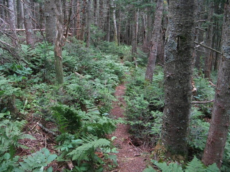
This is one of the nicest backcountry walks in the region, with easy grades, good footing, and a very attractive hardwood forest.

I always pause at this mossy mini-cascade on Slide Brook, just a few yards from the trail.

Strolling up a long, leafy corridor.

The trail crosses Cold Brook, which flows out of a basin enclosed by all three Tripyramid peaks.

Black Cascade can be glimpsed from the trail, and a few yards off the trail one can get a closer side-angle perspective. The name comes from its dark gabbro bedrock.

Mature hardwoods thrive high up on this slope, almost to the base of the slide at 3000 ft.

Ascending the lower part of the western of the two South Slides -- loose and gravelly.
 The first views of the day, looking SW to Sandwich Dome (L) and Stinson Mtn. and Welch/Dickey (R).
About halfway up the slide there is a somewhat tricky ledge scramble.
 After climbing steeply through some scrub, the trail breaks out into the open upper part of the slide.
 Near the top of the slide, where a three-way yellow arrow is painted on a ledge, I turned R onto the Kate Sleeper Trail. A trail sign is nailed to a scrubby tree a few yards in.
The Kate Sleeper Trail traverses a short distance across through the scrub...
 ...and emerges near the top of the eastern of the two South Slides. This one let loose in 1885, at the same time as the North Slide, while the western South Slide (the one followed by the Mount Tripyramid Trail) fell in 1869.
I found a good rock seat here and enjoyed a long lunch break, admiring the great view of the Lost Pass/North Flat Mountain area, with Sandwich Dome (R) and Mt. Israel (L) beyond.
 A neat vista across the remote headwaters of Cascade Brook to the long SW arm of East Sleeper leading down to Lost Pass. Would like to traverse that ridge someday. South Flat Mtn. peeks over in back.
Looking more closely, one can see ranks of finely shaped balsam firs down in that basin.

In a spot like this, a boot shot is mandatory.

The Kate Sleeper Trail descends steeply down and across this slide, as shown in this view looking back up.

From the eastern edge there's a view of Mt. Tecumseh and its southern ridges.
 Looking down at the exit from the slide at its lower SE corner.
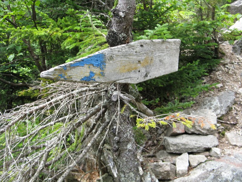
A weathered board points the way.
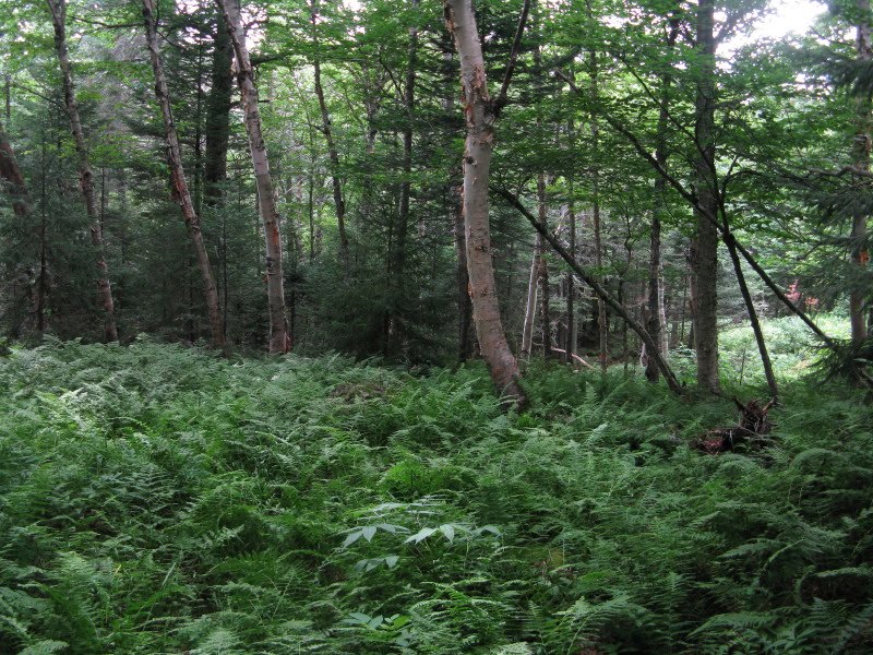
The Kate Sleeper Trail immediately plunges into a beautiful open, ferny, high-elevation balsam fir forest.
The trail is named for Katherine Sleeper Walden, Wonalancet innkeeper and founder of the Wonalancet Out Door Club in 1892, and not for its ability to induce drowsiness. A walk through here is, however, blissfully serene.
 Sections of the Kate Sleeper Trail are similar to the lovely Waumbek-to-Weeks ridge walk on the Kilkenny Ridge Trail.
 The summit area of West Sleeper is broad and flat. The actual summit is about 30 yards NE of the trail and is reached by a faint herd path. (Although West Sleeper is slightly higher than East Sleeper, its col with Tripyramid does not have the required 200-ft. drop, while the col between the Sleepers does, on both sides. Thus East Sleeper is the peak on the New England Hundred Highest list.)
After a break on West Sleeper, I decided to continue on the Kate Sleeper Trail to the col between the Sleepers, and then bushwhack down to the Cascade Brook basin, where there are scenic beaver meadows. (Following safe hiking protocol, I notified my wife of this change in plans.)
I followed the trail down to the col, having not seen another hiker since I was 100 yards from the parking lot. Zero hikers in six trail miles, in July! At the col, I headed off-trail, following a drainage down through open woods. Before long I found a mossy spring that provided a welcome replenishment of my water supply.

Soon I came upon the track of an ancient logging road. This area was cut about 100 years ago, presumably by the International Paper Co. operating from Waterville Valley; they had a camp and dam at Swazeytown down on lower Cascade Brook. In 1915 and 1916 the WODC reported the Sleeper Trail to be impassable due to logging slash.
 I followed this old road for some distance down and across the slope.
When the road petered out, I continued down through wonderfully open woods.

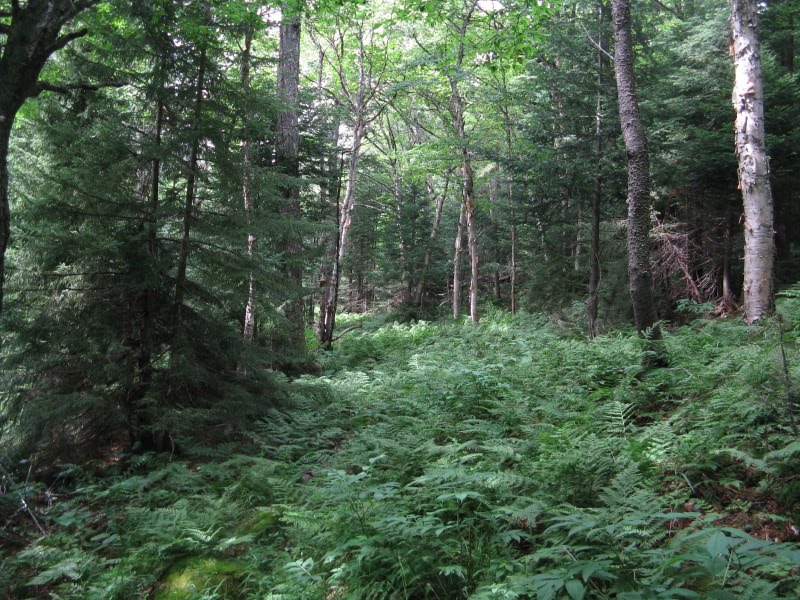
Fern glades are abundant in this forest.

I came across this small meadow-like opening on the slope - was it natural or an old logging camp?

A closeup of the shapely balsams I had admired from above while on the slide.

Birch-and-fern combos reminiscent of The Kilkenny in the northern White Mountains.
Eventually I eased down into the high, broad basin at the head of Cascade Brook. I came upon one of the feeder streams...
 ...which led out to the beaver meadows.
 From the edge of an alder thicket I found a view of South Tripyramid rising above the trees.
I hopped rocks and stones in the brook out into the meadow. What a peaceful place in the afternoon sun...
 This brook joined another one coming more from the N.
 Looking back across at the broad dome of West Sleeper.
 To skirt around the beaver meadows, and to avoid trampling the soft sphagnum moss in the lower woods, I took to higher, drier ground. A bushwhacker should take extra care to tread lightly in these areas. (Moose, however, are free to trample with impunity.)
I came across this old logging road, which may very well have been part of the Woodbury Trail, a former lengthy route from Waterville Valley to the Sleeper Trail on the W side of Mt. Whiteface. The Woodbury Trail was opened in 1902 and abandoned by the 1950s, except for a lower section used for part of today's Snows Mountain Trail.
 From the edge of another meadow there was a better view of South Tripyramid and its two slides.
 Farther around the meadow I followed a moose path down to a spot where I could see both South Tripyramid and West Sleeper.
 From the meadows I made my way down the long valley of Cascade Brook.
Eventually I linked up with a Waterville Valley XC ski/mountain bike trail.
 A short bushwhack brought me across Avalanche Brook to the Livermore Trail and my waiting bike. The twenty-minute coast out was a rare treat at the end of a hike! File this impromptu bushwhack descent in the "highly rewarding"category.
Another fine trip report. I always enjoy reading these Steve. How far was your hike?
ReplyDeleteSteve, you really experienced quite a variety during your trek (wide-ranging topography, plus meadows, beaver ponds, brooks, ledges, old forest roads and trails). Not a whole lot more one can ask or hope for! A very enjoyable read, and interesting photos!
ReplyDeleteJohn
1HappyHiker
Thanks, George - this trek was about 12 miles total, with 5 miles on the bike and 7 miles on foot.
ReplyDeleteSteve
Thanks, John - there certainly was a great variety of scenery to be found in this area. Beautiful woods on and off the trails, and beaver ponds and meadows are always interesting places (but don't drink the water!).
ReplyDeleteSteve