After peering up at Mt. Jefferson's Castellated Ridge from Castle Ravine a week ago, and from a slide above The Link a few days later, it was only fitting that I would follow with a climb up to The Castles to enjoy their panoramic views. I've long felt that the First Castle is one of the finest viewpoints in the Whites, and I was long overdue for a visit. The Presys were shrouded in fog when I arrived at the trailhead for the Castle Trail in Bowman, but forecasts promised some sun in the northern part of the state this day. I hoped they were right.
The crossing of the Israel River at 0.4 mile was a fairly easy rock-hop. This was the only water crossing on this route, quite a change from the dozen crossings in each direction along the hike into Castle Ravine.

I hadn't been on the Castle Trail above the Israel Ridge Path junction since 2010.
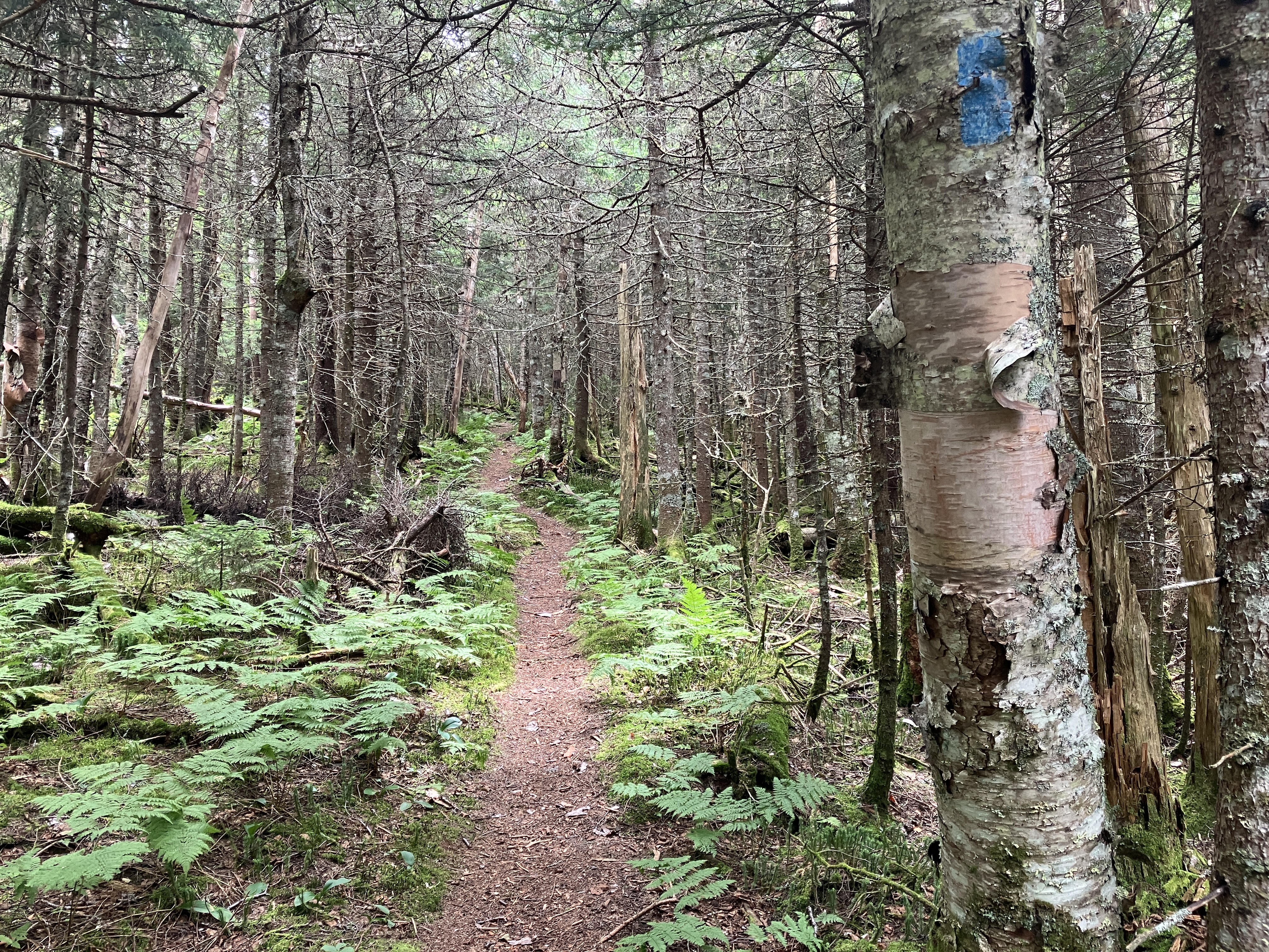
For quite some distance the trail ascends through a beautiful northern hardwood forest on the flank of Mt. Bowman.
Higher up, white birches enter the mix.
At this huge boulder, the trail commences a relentlessly steep ascent to the crest of the ridge between Mt. Bowman and Mt. Jefferson.
There is some fine rock step work by the AMC trail crew on the lower half of this climb.
Above 3000 ft. the trail gets rougher, Northern Presidential style.
The trail abruptly levels up on the crest of the ridge (~3300 ft.)
For the next half-mile the grades are easy and the footing is excellent on the fern-fringed trail. It's one of the nicest walks in the Presidentials.
Even as the ridge steepens, the footing remains pretty good.
The junction with The Link, at 4000+ ft., marks the transition to steep, rough climbing with scrambles aplenty, some of them challenging. The Castle Trail was cut in 1883-84 by four of the notable AMC trail-builders of that era: Cook, Watson, Sargent and Hunt. The lower part was obliterated by logging in the early 1900s and was subsequently relocated. The ridge part of the trail remains the same. Early editions of the AMC White Mountain Guide noted that above The Link, "The path is steep and requires the use of both feet and hands." At that time there was an AMC register at the First Castle.
Here the trail wastes no time getting down to business.
The first scramble.
This one involved some gymnastics.
Looking down.
This steep slab was one of two scrambles I remembered from previous trips.
Just above, another scramble lifts you to the first outlook.
The top of the Castle Ravine headwall was still socked in, but the clearing trend was promising.
Still some steep climbing ahead to reach the First Castle.
A tight squeeze with a pack through this crack.
Another challenging crevice climb.
The trickiest scramble on the trail brings you to the top of the First Castle. I invariably take my pack off and heave it up top before making the move.
Fog was blowing off the ridge when I arrived at the First Castle (~4450 ft.). This was my destination for the hike, so I dropped my pack and settled in to enjoy its marvelous and varied views.
The down-look to the floor of Castle Ravine is startling. On the left side of the photo is the light-colored strip of an old slide I visited in Castle Ravine a week earlier.
The view looking up the ridge is equally impressive. Starting with the earliest editions, the AMC White Mountain Guide has described this as "the sharpest and most salient of the White Mountain ridges."
Looking down the long, winding valley followed by the Castle Ravine Trail.
A great view of the Castle Ravine headwall. The light green stripe left of center is the revegetated track of a snow avalanche that came down in 2010.
Looking across at Israel Ridge with Nowell Ridge behind. The ledgy patch of Emerald Bluff is seen just left of center on Israel Ridge.
Looking across the slope to Caps Ridge and the Southern Presidentials. The slide I visited three days earlier, above The Link, is visible at lower right, under Mt. Eisenhower.
The First Castle also has a good view out to the central/western Whites, which were burdened with a thick layer of clouds. The Willey Range is outlined in the center of the photo.
Close by to the west is the wild country of the Dartmouth Range, with Cherry Mountain/Owl's Head beyond.
Peering down the ridge to Mt. Bowman.
The Pliny and Pilot Ranges and many North Country peaks are seen beyond the mouth of the valley. I lounged here for more than two hours, and in that time only one group of three hikers came by, bringing the day's total to six.
Before heading down, I wandered a little farther up the trail towards the Second Castle.
Looking back at the First Castle.
Close-up of the First Castle.
The Second Castle.
Looking down the tricky scramble coming off the First Castle.
Quick stop at the first outlook.
Sun-dappled path on the gentle shoulder.
Castles in a Cloud.


No comments:
Post a Comment