
I had to get up high on this gorgeous sunny day with virtually no wind - much less than predicted. Amazingly, I didn't see another hiker all day on this popular winter peak.
The Willey Range was sharp and clear from the icy parking lot.

The familiar Crawford Path had a hard-packed, somewhat choppy track. I chose Denalis over Microspikes for their combination of traction and stability, and they worked well. Along the way was this burly yellow birch.

Old growth red spruce and yellow birch are found in the 900-acre Gibbs Brook Scenic Area.
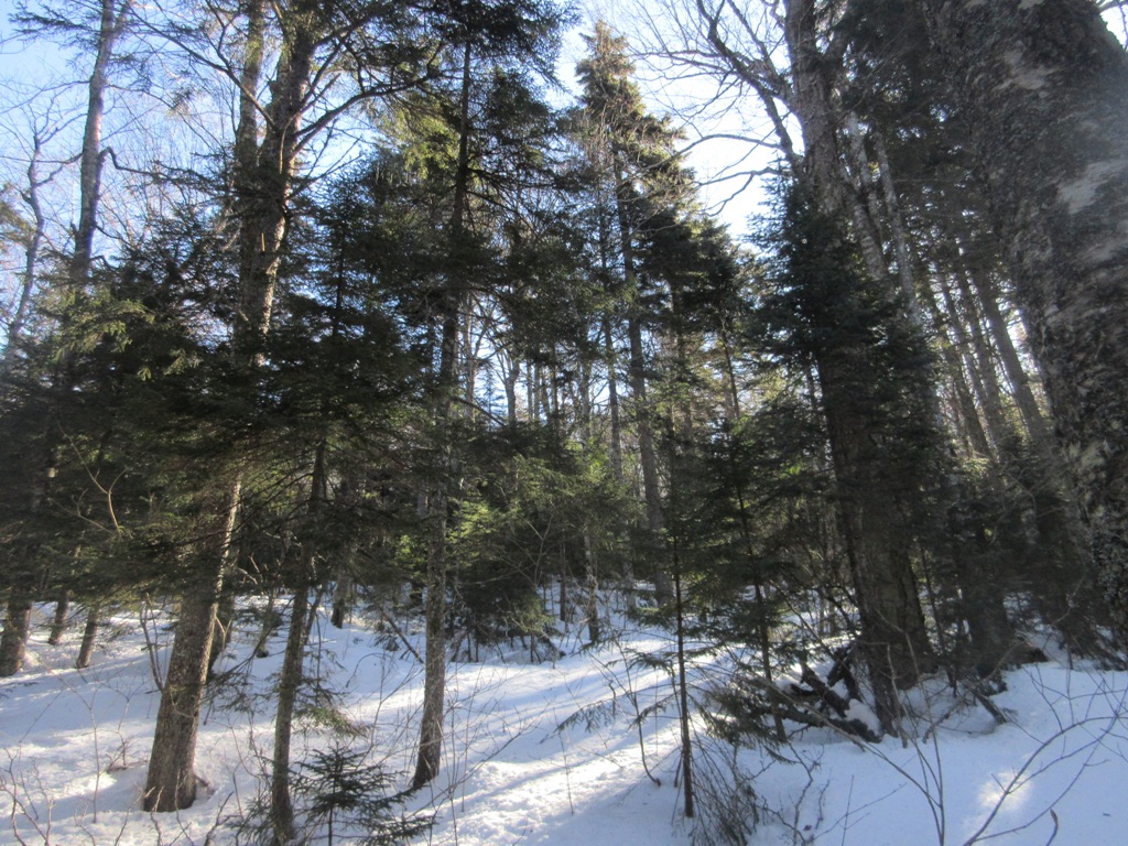
Farther along, there is open balsam fir forest much of the way.

A long corridor above the Mizpah Cutoff junction.

A bilingual alpine zone sign.

First peek from the scrub.

The trailless Dartmouth Range across the Bretton Woods valley.

Emerging above treeline at the Webster Cliff Trail junction. Pierce was my first winter peak on a day like this back in 1983, and I was immediately hooked on winter hiking.

Heading up to the summit of Pierce.

The best Presy views are just before you reach the summit. There was quite a bit of ice along this section, but with care I was able to negotiate it with my MSRs, staying on the defined path and off the alpine vegetation.

The summit had a welcoming committee of local residents.

The hardy Gray Jays will be nesting soon.

I wanted to do the loop past Mizpah Spring Hut, but the trail heading that way was a postholed disaster.

I went partway along looking for views just off-trail, but was living dangerously with snow depth up to the handle. I reminded myself that a couple of winters ago I fell chest-deep into a spruce trap looking for views in a fir wave near Mt. Jim (Moosilauke). There was still air under my snowshoes that day and it took some time and effort to extricate myself.

I always savor this view across the Dry River Valley to Mt. Isolation and Mt. Davis. That's some wild country out there, especially with the closure of the Dry River Trail (again!) due to damage from the October storm.

Waves of ridges to the south, including the pinprick peak of Mt. Chocorua.

A Gray Jay takes in a view of the Sandwich Range.

Gold medal winner in the posthole competition.

Washington was the snowiest summit, while Eisenhower was mostly bare on this side.

Back at the Crawford Path/Webster Cliff Trail junction, looking out to Bretton Woods and distant Vermont horizons.

Afternoon sun in the boreal forest.

No comments:
Post a Comment