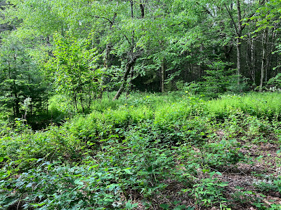
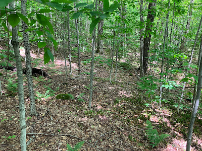
On a partly sunny and very buggy day I ventured into the SW corner of the Pemi Wilderness and bushwhacked halfway up the long east ridge of Mt. Flume to a remote, somewhat inaccessible cliff for some unusual views.
On the drizzly evening before the bushwhack, Carol and I drove up to Shelburne for an easy mile-long hike into the Shelburne Basin, a series of potholes and cascades on Pea Brook. The purpose of the hike was for Carol to grab her 6000th (!) geocache. Here Carol eagerly makes her way up the unofficial but well-used trail that leads to Shelburne Basin from Rt. 2 (limited parking).
Shelburne Basin - a beautiful spot.
The cache has to be up there somewhere...
Found it!
Congratulations!
The drizzly weather moved out overnight, and the morning was partly sunny as I strolled up the Lincoln Woods Trail, pausing to admire the classic view of Bondcliff and its sharp southern spur looking up the East Branch.
The footbridge over Birch Island Brook is still closed.
The trail makes this alternate crossing on rocks.
Birch Island Brook, which originates high on the east face of Mt. Flume. From the clifftop I would be peering down into its upper basin.
A quiet morning on Lincoln Woods Trail.
I approached Flume's east ridge via the Black Pond Trail and part of the Black Pond "bushwhack" herd path.
Many have walked over to see this bed frame at the site of Camp 7 of J.E. Henry's East Branch & Lincoln Railroad.
The Black Pond Trail briefly follows a short spur line of the railroad.
I don't know if this clearing along the Black Pond Trail was a satellite logging camp site, or was associated with the Ice Pond, where ice was harvested for refrigeration at the logging camps.
The mandatory picture of the Owl's Head spire from the Black Pond outlet.
The wild cliffs on the SE spur of the mountain.
This was the first time I'd seen someone fly fishing at Black Pond. Bondcliff and its southern spur make a nice backdrop.
A muddy start to the Black Pond "bushwhack" herd path.
I made a short bushwhack to a vividly green beaver swamp above Black Pond.
From the looks of it, not many hikers approach Owl's Head via Franconia Brook Trail these days.
I left the herd path near its high point and headed up the broad lower part of Flume's east ridge, through nice open hardwood at the start.
Random erratics.
The hardwoods extend up to 2500 ft. on this ridge, but much of the way they are crammed with beech saplings, so the going is not as open as you might think.
Near the top of the hardwoods I came across an old tote road from the J.E. Henry logging days.
I had previously whacked to this cliff in November 1996, and I recalled pushing through snow-covered young conifers along the upper section above the hardwoods. Thus I was pleasantly surprised when I encountered open woods like this the rest of the way to the little 2857-ft. peak that hosts the cliff.
Birch graveyard.
Can it really be this open up here?
The "summit."
There are no safe ledge perches on this cliff, so you have to work a bit to get the views. Perhaps my favorite is this look at Mt. Flume rising above the headwall of the Birch Island Brook valley. On the left is the ridge ascended by the Osseo Trail. It's amazing that the trail ascends the super-sharp nose of that ridge.
A closer look.
I once dropped down to the top of this slide for views into the western Pemi Wilderness. Some seriously steep terrain there.
Down-look.
Looking across the East Branch valley to the pyramid of Mt. Hitchcock.
View from my lunch spot. Osceolas and Scar Ridge in the distance, beyond various spurs of Mt. Flume and Whaleback Mountain.
This big slab on a wild spur of Whaleback Mountain overlooks the valley of Osseo Brook, up which the Osseo Trail ascends for two miles.
Another angle on Mt. Flume.
Peering down to the floor of the Birch Island Brook valley.
Before heading down I continued a short way along the ridge to the col beyond the 2857-ft. peak. From here it would be another mile or so and 1500 ft. of elevation to reach Mt. Flume. I know a couple of whackers who have ascended Flume this way.
Neat boulder encountered on the way back down the ridge.
Evening at Black Pond.
I bushwhacked over for a look at "Birch Island Brook Falls."
The old wall along the edge of the former Ice Pond, now a densely-grown wetland.
Sled runners along an old roadbed that was probably used for access to Ice Pond.


Congrats on 6000! Also looked like a very pretty lunch spot on Flume
ReplyDeleteThank you! It was indeed an interesting lunch spot.
Delete