
On a glorious summer day I enjoyed a leisurely bushwhack up the ravine
on the north side of North Tripyramid, exploring remnants of a series of
slides that fell in 1885 - during the same August storm that triggered
the huge and famous North Slide. A total of 8 smaller slides fell in the
ravine, and it became known as Avalanche Ravine, or the Ravine of
Avalanches. Thanks to Carol for watching the store on its 20th anniversary!
Goldenrod was blooming in profusion at the Depot Camp clearing near the start of the Livermore Trail.

I made a short side trip to see the pretty Norway Rapids on Slide Brook. This brook was originally called Norway Brook, after a type of bedrock, but was renamed after the first Tripyramid South Slide fell in 1869.

Long corridor on the Livermore Trail, which provided an easy 3.6 mile approach to the north end of the Mount Tripyramid Trail.

This is the trail that leads to the steep, slabby North Slide.

Where the trail turns right away from Avalanche Brook and starts climbing to the base of the North Slide, I headed off trail and continued up along the floor of the ravine through lush forest.

This little weedy meadow marks the runout of the eastern fork of the North Slide.

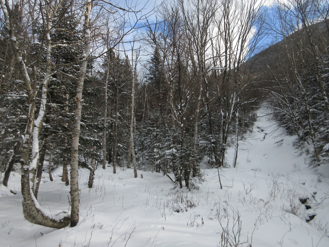
The same spot in winter.

Mossy bed on Avalanche Brook.

I brook-whacked slowly up the ravine, stepping carefully to protect both me and the streambed moss and plants.

Turtlehead blooming in the brookbed.

One of many pretty scenes along the nearly-dry brookbed.

I climbed up to a remaining open patch of an 1885 slide on the south side of the ravine. This was my third visit to this spot, most recently on snowshoes.

Beyond the SW ridge of Scaur Peak I could see Mt. Osceola, Breadtray Ridge and Mt. Moosilauke.

Another open patch nearby, separated by a band of dense spruces.


Farther up the ravine I visited this open gravel patch from an old slide on the north side.

The top of North Tripyramid peers down above the trees.

This spot has a nicely framed view of Mt. Tecumseh down the Avalanche Brook valley.

Above here the brookbed was too gnarly and choked with blowdown to provide passage, so I took to the slopes on the north wall of the ravine.

Next came a traverse across the head of the ravine, where a large area of the slope looked like the vestiges of a big old slide.

I emerged on the largest remaining open strip of the slide that fell at the head of the ravine in 1885. A fascinating article, "The Tripyramid Slides of 1885," was written by Alford A. Butler for the March 1886 issue of "Appalachia." Butler paid four visits to the Ravine of Avalanches and wrote about the North Slide and the eight smaller slides in great detail. This article can be read on Google Books.

This partly-revegetated slide provided a fine open view and a comfortable place to lounge in the sun.


The Osceolas front and center, with Mt. Moosilauke on the left and the Kinsmans on the right.

Steep but open woods heading up to a higher slide patch.

The uppermost part of the old slide on the headwall. Based on the descriptions in the 1886 article by Alford A. Butler, I thought there might be smooth bedrock up here, but instead there was soft gravel.

Distant summits could be seen on either side of Tripyramid's Scaur Peak.

West Bond over Bondcliff, South Twin, and a head-on view of the Hancocks.

The full spread of Hancock, with Mt. Carrigain on the right.

The mighty Carrigain.

Parting shot from the very top of the slide.

From the top of the old slide I continued up to the Pine Bend Brook Trail.

View north to the Presidentials and Nancy Range from an open glade near the Scaur Ridge/Pine Bend Brook junction.

Lushness along the Scaur Ridge Trail.

Farther down the Scaur Ridge Trail I bushwhacked down to the floor of the little valley to visit this fine open glade of sugar maples, then followed an overgrown old logging road out to the Livermore Trail.

Artifacts at the site of Avalanche Camp, the second and later of two camps by that name along Avalanche Brook. This one is a large clearing beside the Livermore Trail.

A stop at White Cascade on Slide Brook breaks up the long walk out on Livermore Trail.

An archival photo of the North Slide and Ravine of Avalanches shows the extent of these vast slides shortly after they fell. (Photo courtesy of the Waterville Valley Athletic & Improvement Association.) — in Waterville Valley, New Hampshire.

This 1993 Google Earth image/aerial photo shows how much the slides had revegetated in a little more than a century. Who knows if renewed slide activity will take place on these steep slopes in a future rainstorm.

This 1925 version of Arthur L. Goodrich's map of Waterville Valley shows the approximate location of the slides in the Ravine of Avalanches.

No comments:
Post a Comment