I headed into the Gale River Valley for a hike that combined an approach up the Gale River Trail, a climb up the 1954 Gale River Slide, a bushwhack to the Garfield Ridge Trail from the top of the slide, and a loop descent by Garfield Ridge Trail and Gale River Trail, with a stop at the ledges of "East Garfield" for views into the western Pemigewasset Wilderness.
I always enjoy the mellow hardwood walk on the first mile and a half of the Gale River Trail.
The water was low in Garfield Stream, which the trail crosses at 2.2 miles.
Beautiful woods along the section of trail above the crossing, part of a major relocation constructed in 2102.
There is still evidence of the 1954 slide where the trail crosses its base. When it fell on August 31, 1954, the debris from the slide created a
temporary dam on the river, which subsequently let go, sending a huge
surge of water down the valley. At the time, Ben Bowditch, assistant
hutmaster at Galehead Hut, was hiking up the trail. He heard a strange
noise and saw the water surge coming down through the woods. He grabbed
onto a tree and held on for an hour as the water rose as high as his
waist. After the surge receded somewhat, he went back and forth along
the trail, finding the river crossings still impassable, and eventually
bushwhacked back to the trailhead, where he was met by concerned fellow
hut crew members. (Bowditch's experience was recounted in the June 1957 issue of Appalachia.) A few days later AMC Huts Manager Joe Dodge sent two employees in to survey the scene. John Ranlett estimated that the slide was three-quarters of a mile long and 60-100 yards wide. The duo marked a route across the base that donkeys could use to supply Galehead Hut.
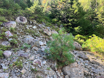
This sloping gravel swath, reached by a short bushwhack, is one of the few open areas left on the lower part of the slide.
A bit of additional bushwhacking brought me to the base of the open ledgy part of the slide. The slide was as dry as I have ever seen it, and I was able to climb the full length of it without any detours into the woods around wet slabs.
Emerging onto the widest ledgy section. The rock was dry and grippy making for fun scrambling.
Side view.
Down-look.
Pretty sky looking out to Vermont's Northeast Kingdom.
Down-look from another angle.
I plopped myself down on a favorite flat perch and enjoyed a leisurely early lunch.
The sun made an appearance and illuminated the view up to the massive bulk of North Twin, with birch gold dotting its lower slopes.
I enjoy studying these wild and well-nigh inaccessible cliffs on a North Twin shoulder. They are well-guarded by steep slopes and dense cripplebrush.
After an hour's sojourn I headed farther up the slide, following a narrow ledgy swath. Vegetation has taken over much of the upper part of the slide.
Still some fun scrambling.
Looking back.
One of several tamaracks (larches) that have taken root on this slide. I have seen these on only a handful of other slides, and this tree was not observed on any of the 22 slides surveyed by Edward Flaccus for his 1958 dissertation, Landslides and Their Revegetation in the White Mountains of New Hampshire..
I have a special affinity for this slide, perhaps because we're about the same age.
Typical ledge steps on a slide.
Expanded view out to the mountains of the Northeast Kingdom, including Burke, Umpire, Bald, East Haven, East and Gore Mountains.
Top of the open part of the slide.
From here I followed a steep, narrow, overgrown track upward.
Higher up, at 3100 ft., was one more open spot, perhaps the trigger point of the slide.
This is the highest of many white pines that have seeded in on this slide. In 2009 and 2010, the late Alex MacPhail, an AMC hutman in the early 1960s and a
keen amateur naturalist, spent many days at the Gale River Slide
studying its revegetation and soil development. He documented his
research in his excellent blog, White Mountain Sojourn. MacPhail noted several white pines on this slide, and wondered how they got here as this tree is otherwise not found this high up in the valley. His question prompted my own interest in documenting the occurrence of white pines on slides high in the mountains.
This ledge loomed soon after I began the whack to the top of Garfield Ridge.
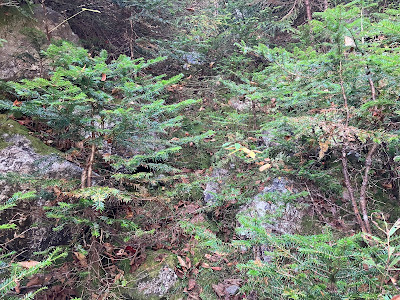
The whack was rather rough and scrappy, and seemed harder than the first time I did it in 1995.


No comments:
Post a Comment