Slide Ravine, the wild, trailless basin on the SW side of Mount Moosilauke, is well-named. No fewer than a dozen slides scarred its slopes during the 1900s. Most of these fell during the November 1927 rainstorm and the September 1938 hurricane. Many of these are partly or mostly revegetated, but one huge slide - prominently seen from Blueberry Mountain and other viewpoints to the west - remains open on the SE side. The other large open slide in Slide Ravine fell during the late 1950s on the north side of the basin. There is a good view of it from Moosilauke's South Peak, and also from the big slide on the SE slope, as seen here.
I had visited this northern slide back in September 2014 with John "1HappyHiker" Compton. We climbed about 2/3 of the way up the slide but views that day were restricted by intermittent low clouds. Though I knew this was not an easy place to get to, I wanted to return on a sunny day for a better look at the views, and also to climb to the top of the slide.
I used the shorter southern approach on Tunnel Brook Trail from Long Pond Road.

A pleasant climb, mostly following an old roadbed.
For a while the trail follows Slide Brook, which comes tumbling down out of Slide Ravine.
From the shore of Mud Pond, at the south end of Tunnel Brook Notch (the gap between Mt. Moosilauke and Mt. Clough), there is a fine view up to Slide Ravine. The big slide on the SE side is well-displayed. It was a peaceful spot on this warm, sunny morning, with plenty of birdsong filling the air.
A friend came by for a visit.
And another.
A lingering patch of bluets along the trail.
View into the notch from the south end of the pond. Deerflies were present and persistent.
Heading off-trail beyond the pond, through a beautiful ferny glade.
One of several debris flow levees along the bank of Slide Brook, deposited by slides through the years.
One of the joys of whacking in Slide Ravine is the variety of cascades encountered along Slide Brook.
This one is a favorite.
A nice mossy waterslide.
A pretty pool.
The brook dances down over the rocks.
Wild woods, deeper in the valley.
Glimpse of a high ridge from an upslope detour away from the brook.
It's ladyslipper season.
An inviting corridor.
At 3000 ft., high in the valley, the track of the big slide on the SE side meets the brook. A very steep climb of 400 ft. is required to reach the open part of that slide.
A multi-cascade above the slide track. I took a lunch break here, knowing that the whacking would be significantly steeper and thicker above this point.
Up we go, heading for the big northern slide.
Higher up, I came to these mossy rocks, which signified the track of an older, smaller slide just to the west of the big northern slide.
Since it was more or less going my way, I decided to follow this slide track, though parts were densely grown.
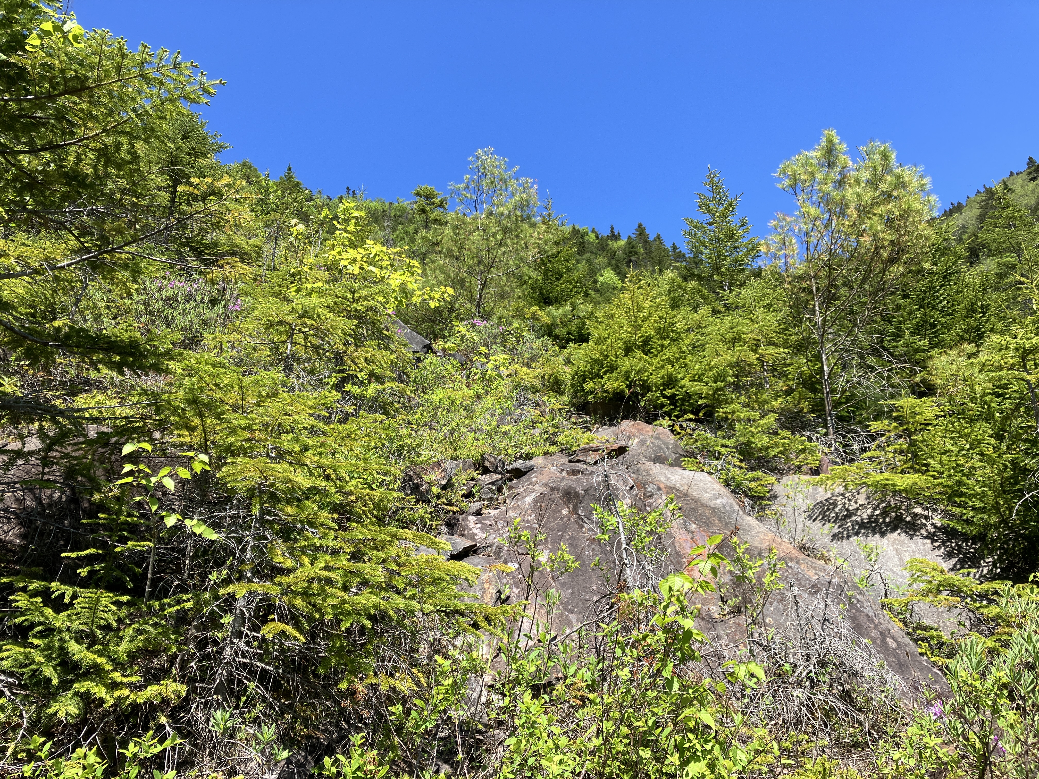
I had seen this open spot on satellite imagery, but no view here.
Farther up, the old slide was an eruption of rough ledges.
Here there was a view out to Smarts Mountain and Mount Cube.
Spring greens on the SW slope of Moosilauke.
I tried to continue up and then across to a dry brookbed that I knew would lead to the big north slide, but I encountered an impenetrable thicket with what looked like a dangerous dropoff beyond. A retreat was in order.
After a short down-climb I made the traverse to the dry brookbed. John and I had followed this on our approach back in 2014.
Soon enough I was heading up the lower part of the big north slide. Parts of it are revegetated with spruce, fir, birch and a fair number of white pines.
Rhodora!
Much of the slide is loose broken rock, but there are some steep ledges mixed in.
Views opened up as I climbed.
I bypassed these really steep ledges.
These ledges were a little more comfortable. After climbing to the top of the slide, I descended back to this spot for a long break.
Approaching the upper end of the slide.
Top of the open part of the slide, elevation 3700+ ft.
Down-look. This slide is quite steep with an average slope of 35+ degrees.
Looking up at the South Peak of Moosilauke - where three days earlier I had been peering down at this slide - and across to part of the big slide on the SE side of the ravine.
South Peak zoomed, showing the talus slope by the Glencliff Trail.
High elevation white pine.
The highest white pine is at 3760 ft. on a small upper extension of the slide. On this hot afternoon I did not consider the option of making a long and likely thick and very slow whack up to the summit ridge of Moosilauke.
I descended slowly and carefully over the loose broken rock to my break spot ledge.
A hard-earned boot shot. Lounged for an hour here in the sun before starting the four-hour return journey.
Type 2 fun below the slide.
Prickly pole forest.
At 3130 ft. there is a major fork in Slide Brook. The main flow tumbles in from the south fork.
The north fork looks like a major slide track, but has little water flow.
Below the fork I returned to this wild and beautiful cascade that John and I had come upon during our 2014 trip.
Below 3000 ft. the terrain is less steep and the going is generally easier, though as on any whack you have to focus on your footing, especially while descending.
This opening may be the runout of another old slide track.
When you're hot and tired and scratched-up and bug-bitten, the woods can seem like one long obstacle course.
Octopus tree in deep hardwood forest.
Evening light on Slide Ravine.


No comments:
Post a Comment