On the third day of my spring trifecta I returned to the Glencliff area for a trek to Wachipauka Pond and Mount Mist, one of my favorite pond-and-peak combos. I took a roundabout driving approach using Rts. 112 and 116 and Lime Kiln Road, catching this view of Sugarloaf and The Hogsback at the junction with Page Road.

I repeated an approach I have used in the past, following an old route of the Appalachian Trail up from Rt. 25. Since my last visit 5 1/2 years ago a brook has taken over a long stretch of the old trailbed, necessitating a parallel bushwhack. An occasional old DOC blaze is still visible.

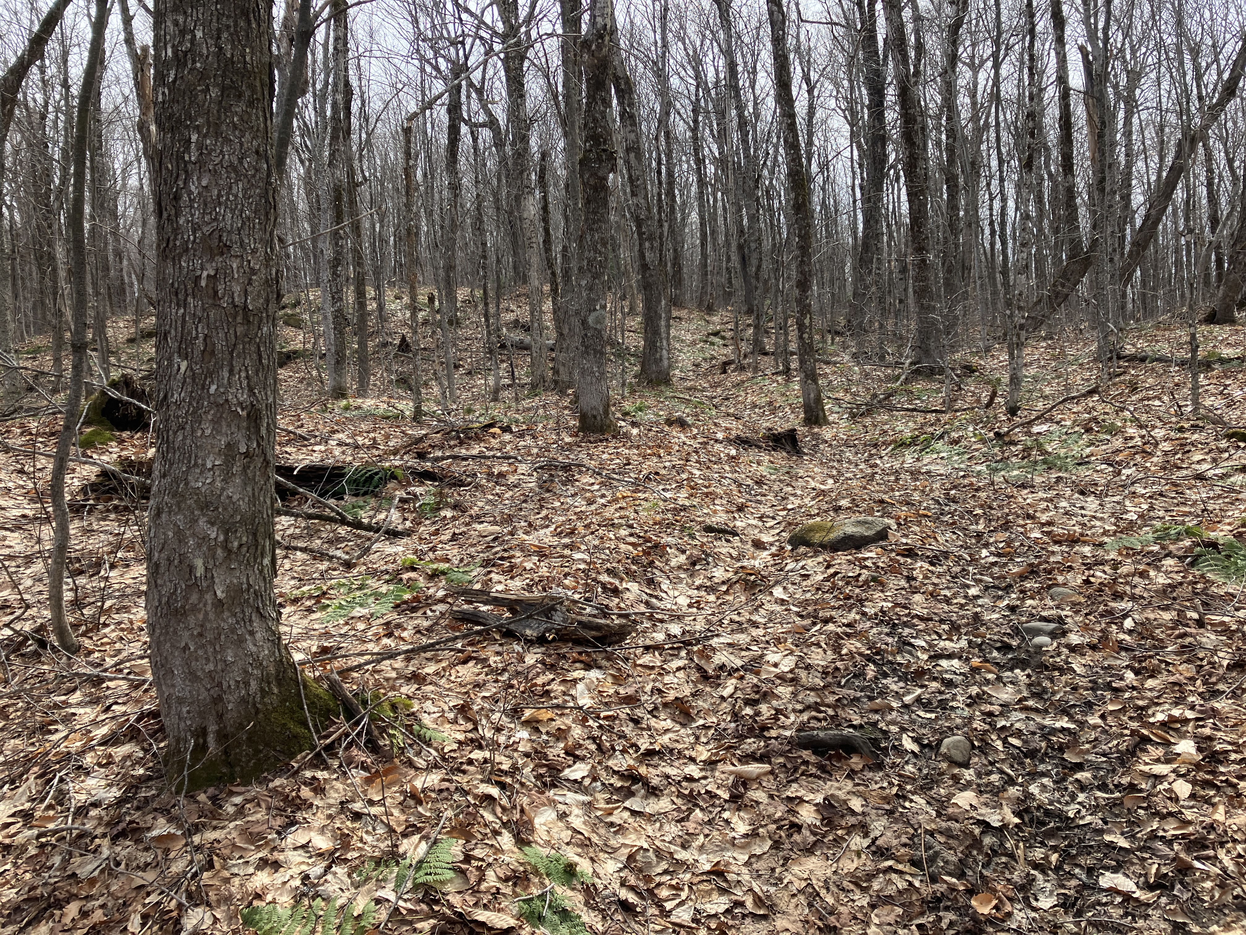
Some parts of the old trail are still in good shape.
Along the current Appalachian Trail (Wachipauka Pond Trail), with Webster Slide Mountain looming ahead.
A glimpse of the Webster Slide cliffs through the trees.
Arriving at the shoreside view spot on Wachipauka Pond, reached by a spur path from the AT.

Nice spot for a long break. Wachipauka Pond was named by the Indians who came to its shores to hunt and fish; the Abenaki word means “mountain pond.” White settlers later named it Meader Pond for a resident in the area, but thankfully the Abenaki name has endured.
Lounging in the April sun, watching a Red-Tailed Hawk soar overhead.
Mount Mist, cloaked in hardwoods, rises SW of the pond. In his 19th century history of the town of Warren, William Little states that Mist received its name from the vapor that often rises off Lake Tarleton, nearby to the west.
View across the water to Carr Mountain.
Webster Slide or Mount Mist for a climb? Today I chose Mount Mist, for its gorgeous hardwood forest and the unusual views from several somewhat precarious perches atop its east-facing cliffs.
Partway up the AT's mellow ascent of Mount Mist from the north, an unmarked spur leads to a restricted view towards Chokecherry Hill and Bald Hill, the southernmost spurs of Mount Moosilauke. For years there was a DOC sign here that read: SCENIC VIEW BEWARE OF TOURISTS.
The open hardwoods of Mount Mist.
Nice walking on the AT approaching the broad, flat western summit knob.
DOC humor.
Heading off-trail past a small wetland in the saddle between the two summit knobs.
The western knob is slightly higher - 4 feet by my GPS altimeter.
Descending towards the top of the steep eastern face of the mountain.
I guess it's officially a bushwhack. I stashed this in a side pocket but unfortunately it got pulled out somewhere along the way.
The southernmost viewspot I visited offered a nice angle on Mount Moosilauke and Slide Ravine. These perches atop the Mist cliffs are small and, as stated before, rather precarious. Not comfortable for "hanging out."
Not far to the north is a steep gully of broken rock.
Looking down the rockfall with Carr Mountain in the distance.
Wonderful wandering on a plateau behind one of the cliffs.
The headwater of Black Brook getting ready to take a tumble.
The sweetest views from Mount Mist look over Wachipauka Pond. Behind on the left is the huge cliff of Owl's Head at the south end of the Benton Range, with Blueberry and Jeffers Mountains above. Mount Clough is in the middle with Mount Moosilauke on the right.
From another spot, looking out to Chokecherry and Bald Hills, Mount Cushman and Mount Kineo. Sandwich Dome peeks over in the distance.
Another little brook weaves down through the hardwoods...
...before making a precipitous drop over the edge. Yikes!
A little too tricky to get down to that ledge.
A small and hard-to-reach spot in a spruce grove offered the most open view to the north, including Webster Slide on the left..
The view of Wachipauka Pond rivals that from Webster Slide, from a different angle.
View of Mount Kineo and Carr Mountain from yet another cliff top.
Looking up at one of the higher cliffs. From here I made my way back to the trail, completing an interesting 3/4 mile bushwhack tour.
Heading out along a rocky section of the AT at the base of Webster Slide, wrapping up a most excellent three days of spring hiking.


No comments:
Post a Comment