
I enjoyed a fine sunny day for a climb of old favorite Mount Passaconaway, "monarch of the Sandwich Range," via the northern route from the Kancamagus Highway. This 11-mile trek took in several fine views as well as a bushwhack to a ledge high on the steep cone of the mountain.
This is the quiet approach to Mt. Passaconaway, compared to the Dicey's Mill Trail from Ferncroft on the south.

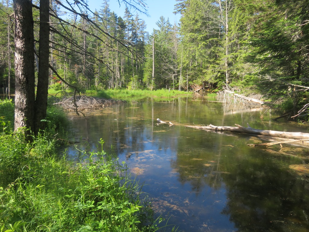
Beaver pond along Oliverian Brook Trail. On calm days the mosquitoes can be fierce here. This day was nice and breezy.
Into the Wilderness.

The "cathedral forest" along Passaconaway Cutoff. Hiking this route gave me a chance to check things partway into the season on the Cutoff, the adopted trail of the AMC Four Thousand Footer Committee. The trail looked good overall. Made some notes on a few spots for touch-up hobblebush brushing on the next work trip, and removed a couple of blowdowns.

On the Square Ledge Trail, the third of six trails used on this hike.

Artifacts from a high mountain camp of the Conway Lumber Company's Swift River Railroad (1906-1916).

Looking up the Nanamocomuck Slide (1938) from the Square Ledge Trail.

The slabs on this slide are steep.

Looking up at Passaconaway's cone.

Loose gravelly footing makes a full ascent of this slide tricky, but I often scramble up to the first shelf for a break and a view after completing work on the Passaconaway Cutoff.

View north from the slide, near to far: Hedgehog Mountain; Mt. Tremont and Bartlett Haystack; Mt. Washington and Wildcats/Carters.

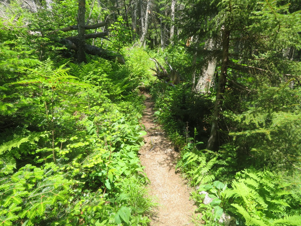
A ferny spot along the Square Ledge Trail.

Junction at the SE base of Passaconaway's summit cone.

An easier section of the often steep Walden Trail.
Rock steps installed as part of a major reconstruction of the Walden Trail by the Wonalancet Out Door Club in 1997-2001.


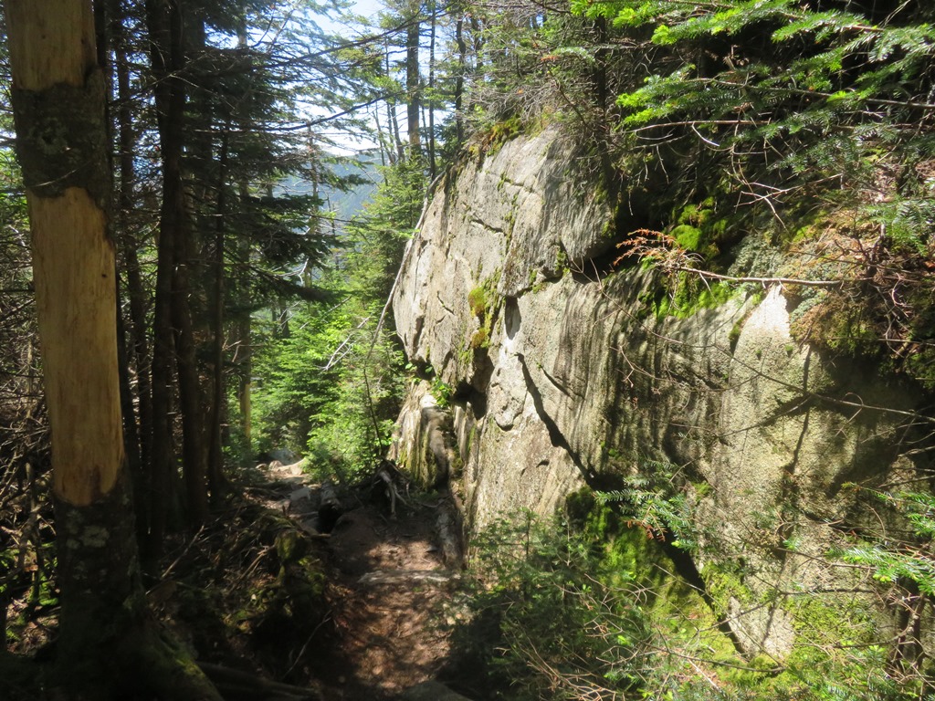
Neat ledge face at the top of this pitch.
From here I launched a bushwhack in search of a ledge on the NE flank of the summit cone.

Slow progress in this stuff.

I found the ledge, and it looked like a great perch, but the joke was on me: it was surrounded by crevices. Being alone, I decided it wasn't worth the risk trying to get down onto the ledge and then back up off it.

Anyway, I had a great view from where I was above the ledge.
Zoom on a beaver pond in the Oliverian Brook valley, which offers an imposing return view up to Mount Passaconaway.

The steep north slope of Passaconaway.

I whacked back up to the Walden Trail and continued up to Passaconaway's fine, sun-drenched south outlook. The Wonalancet Range and the lower reaches of The Bowl are prominent in the foreground, with the waters and hills of the Lakes Region in the distance.
This ledge also offers a broadside view of Mt. Whiteface, with Sandwich Dome peeking over on the right.

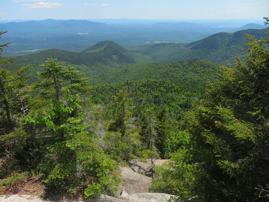
I continued up the short climb to the east outlook, which is getting more restricted but still has a good view of Mts. Chocorua and Paugus, the Paugus Pass area, and distant SE horizons. If you look closely you can see the ledge I bushwhacked to, over a gap in the trees near the bottom of the photo, directly under the big gravelly slides on Mt. Paugus.

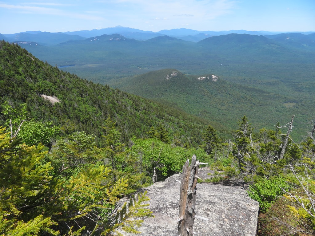
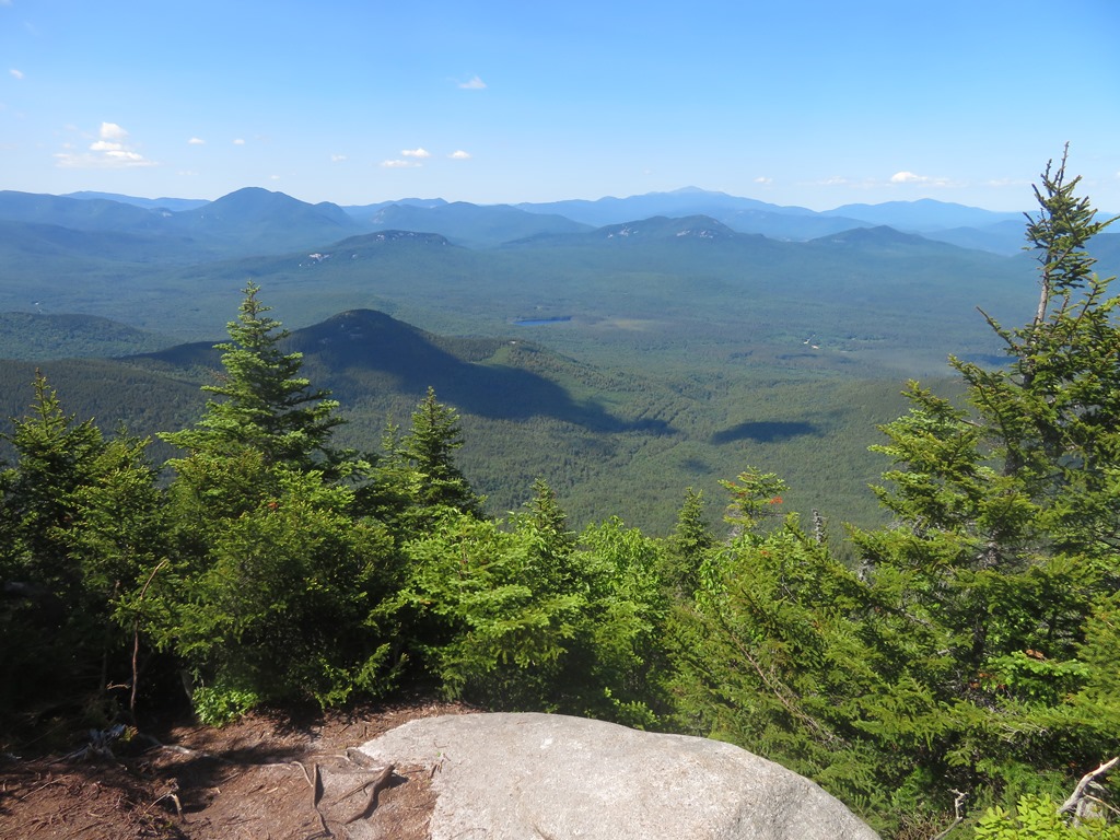
If skies are clear, I always encourage Passaconaway hikers to make the side trek (0.5 mile round trip with ~200 ft. of climbing on the way back) to the wonderful north outlook.

From this small lofty perch nearly three dozen 4000-footers can be spotted. The vista in this frame extends from the Franconia Range across to the Presidentials.

Zoom on Church Pond down on the Albany Intervale.

Extending the view eastward across to the Moats.

You look down on ledgy Hedgehog Mountain, nearly 1500 ft. below.

Had this spot to myself for more than an hour. It was a hard place to leave.
I paid a quick re-visit to the east outlook, where the late afternoon lighting was fine.

The actual summit, reached by a short side path, is heavily wooded.

The NW outlook at the top of Dicey's Mill Trail is now quite restricted in summer. It's much better with a snow platform in late winter. Hikers who go up and back via Dicey's Mill Trail without looping over the summit on Walden Trail (including the side trip to the north outlook) get only this limited view and miss the three good outlooks.

There is still a clear look at the Franconia Range and Mt. Garfield here.

Looking down the ledge scramble on Dicey's Mill Trail just below the NW outlook. The upper ~0.25 mile of this trail is steep and rough, then the footing vastly improves.

One of many sets of rock steps installed on the upper Dicey's Mill Trail in 2021 by the pro OBP Trailworks crew working with WODC and the WMNF.

The short, mellow East Loop is a convenient link in a loop over Passaconaway's summit.

Took out a small blowdown on the return trip down Passaconaway Cutoff, and made it out before dark.

No comments:
Post a Comment