
Took the longer and less-used way to the wide views atop Kearsarge North, the prominent peak just outside North Conway that looks and hikes bigger than its 3268-ft. elevation. On the way back I made a short but thick bushwhack to Rickers Knoll, a spruce-clad 2477-ft. on the NE side of Kearsarge North.
The Weeks Brook Trail starts on a logging road a short distance off Green Hill Rd. in South Chatham.

At 0.6 mile the trail makes a right turn off the logging road and then quickly a second turn left into the woods that is easily missed.

The lower part of the trail leads for 0.3 mile through an unattractive logged area from the USFS Province project. I dubbed it the "Brush and Stumps Tour." Yellow blazes must be followed carefully through here.

It then enters a large log landing; this post marks the point where the trail exits the landing in the reverse direction.

Posts mark the route across the clearing.

The trail runs through a patch of dense brush to access a long relocated section.

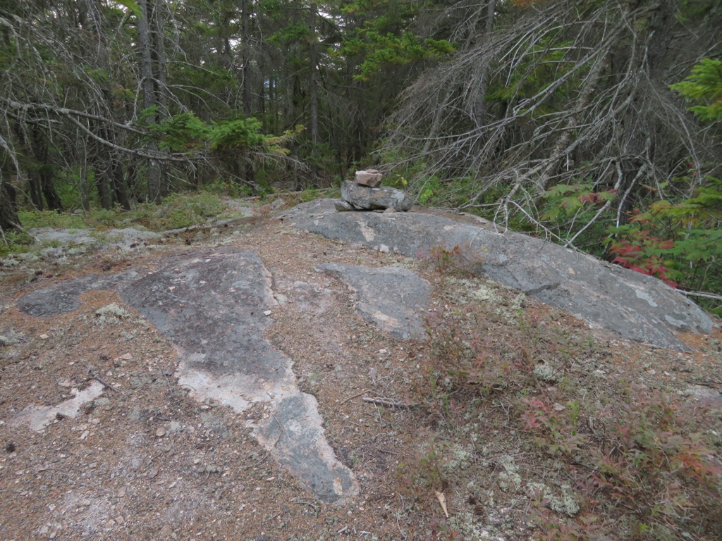
The relocation runs along a slope above the old route, which was quite wet.

The trail passes by several clearcuts, then runs through one before entering unlogged woods.

The next section rises through a fine mature hardwood forest, protected from logging by the 2001 Roadless Rule. Closer to Shingle Pond is an area of old-growth hardwoods, spruce and hemlock. An 1169-acre area here has been designated as a Candidate Research Natural Area by the USFS.

At the 3-mile mark the trail reaches Shingle Pond, a small but attractive water body, with a view of Kearsarge North from the shore.

The fire tower can be spotted atop Kearsarge North.

Fresh beaver cutting along the shore.

In another half-mile the trail crosses and then follows a branch of Middle Brook, with only a trickle of water during the current drought.

A fine trail that is much less used than the shorter and more easily reached Mt. Kearsarge North Trail on the other side of the mountain.

Stately spruces.

The trail passes by a high-elevation bog in the saddle between Kearsarge North and Rickers Knoll.

From the bog the trail climbs 1000 ft. to the summit in 0.9 mile, following a wonderful winding route at varying grades up through spruce forest. Extensive brushing in recent years has opened up several formerly overgrown sections. Thank you, USFS/adopters!

There are a few rugged spots with short scrambles along the way.

Well up on the mountain the trail offers this view of the trailless Walter Mountain-Mt.Shaw-Gemini-Rickers Knoll range, which extends north from Kearsarge North.

In the 1930s there was an extensive trail network on this range, but all those paths have been long abandoned.

Nearing the summit, the trail eases and meanders through the scrub.

The upper part of the trail crosses ledges with views out to the low-lying lake country of western Maine.

The final climb up ledges to the tower.

Blueberry foliage.

The current Kearsarge North fire tower was built in 1951 and is listed on the National Historic Lookout Register. It is not staffed but the cab is open and in excellent shape.

Kearsarge North is one of the best viewpoints in the Whites. There are excellent vistas from ledges such as this one on the west side of the summit. For the full panorama, which includes 36 NH 4000-footers, climb the tower.

A message for winter hikers.

The tower is well-kept. Hopefully hikers will continue to keep it that way.

Wildcat, Carter Notch and the Carter Range beyond the Doubleheads.

The Presidentials and Wildcats.

Sweeping view to the central and western Whites.

Pleasant Mountain and surrounding lakes in Maine.

Bird's eye view of Shingle Pond.

Many distant peaks beyond Mt. Shaw and the Gemini.


A side path leads to a seat with a view (of the woods).

I was amazed that during my 1 1/2 hour stay on the summit, I was alone except for a five-minute visit by a solo hiker and her canine companion. Parting shot of the tower.

The bushwhack to Rickers Knoll required some spruce swimming.

The largest ledge in the broad summit area offers a close-up view of Kearsarge North.

The high point of the spruce-wooded summit - formerly known as Shingle Knob - is marked by a small cairn. Some familiar names in the register. I saw little evidence of the old Mt. Shaw Trail, which ran across the crest of the range.
Evening at Shingle Pond. Two beavers were patrolling the water. On the final stretch of the trail along the gravel logging road, I heard a coyote call to the north, and quickened my step. The round trip to Kearsarge North via Weeks Brook Trail is 10.2 miles with 2700 ft. of elevation gain.

No comments:
Post a Comment