
Took the afternoon off on a cool, crisp late summer day and climbed the mellow Black Mountain Trail to enjoy the expansive views from the open quartzite ledges of this marvelous 2830-ft. peak, one of the best of the "52 With a View." This hike is 4.4 miles round trip with 1300-ft. elevation gain.
The 0.2 mile extension of Howe Hill Rd. to the official parking area was upgraded by the WMNF for a logging project. It's narrow but passable for any vehicle.


The summit was the site of a fire tower from 1911 to 1978.

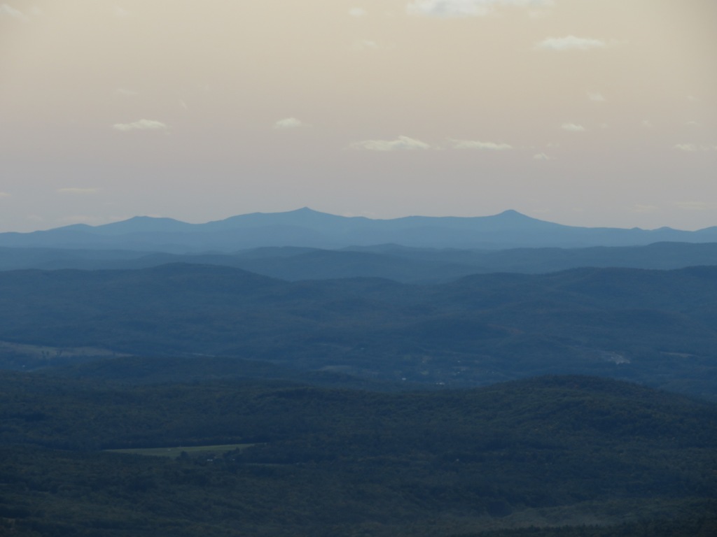
A short distance to the west are extensive ledges with long views over the Connecticut River valley to the mountains of Vermont.

The eastern ledges are accessed in 0.1 mile by following the ledgy spine of the ridgecrest and then a mix of ledges and short paths through patches of scrub.


Zoom on the South Peak and the largest slide in Slide Ravine.

There's an excellent view into Tunnel (Benton) Ravine, the partly formed glacial cirque on the NW side of Moosilauke. Four old slide track can be seen on the north (left) wall.

The glacial erratic known as Tipping Rock is one of Black Mountain's notable features. It doesn't tip anymore.

Long view NE to the Kinsmans and Franconia Range.

Mt. Lafayette peers over North Kinsman.

Prominent folds are visible in this quartzite outcrop.

A hint of fall in the Black Mountain woods. Follow this link for more on Black Mountain.

No comments:
Post a Comment