


New Dartmouth Outing Club signs.


Nice bushwhacking.

Fields of ferns.

There's an old slide in there somewhere.

This slide, which likely fell in the 1940s, is almost fully revegetated.

Still a little bit of open rock left.

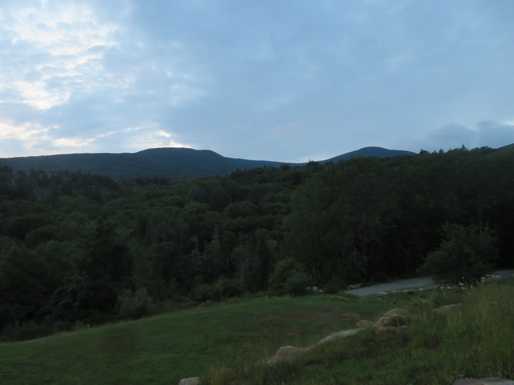
And a nice view across the broad basin where Gorge Brook and the Baker River meet, with Moosilauke's Blue Ridge in the distance. Dartmouth College owns a sizeable chunk of wild land out here.

Heading across the steep slope to another old slide.


Looking down.


Descending through the woods alongside the slide.


More moss.


Somewhere to the south of this slide I crossed the route of the legendary 1930s DOC ski trail, Hell's Highway, said to be the steepest in the East in its upper section, with a maximum pitch of 38 degrees. I wondered if this corridor was part of the trail's lower section.

DOC bridge over Gorge Brook.

No comments:
Post a Comment