
Climbed a favorite peak via Dicey's Mill Trail on a spring-like last day of winter, and enjoyed tremendous views around the summit..
Welcome to Ferncroft! Glad to be here after negotiating the frost heaves on Rt. 113A.

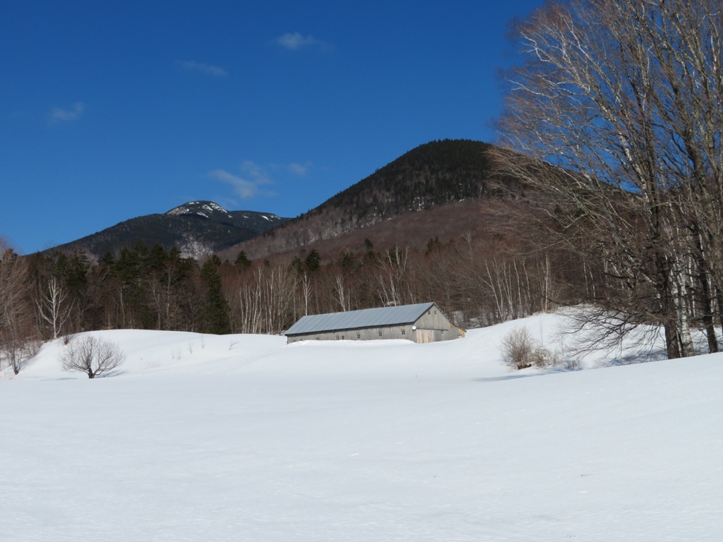
Mount Whiteface.

Icy Ferncroft Road was a challenge at the start. Traction mandatory!

Thanks to the landowners who allow trail access across their land.

Into the Wilderness.

Spring is coming!

The lower half of the well-packed trail was littered with postholes. I chose my MSRs over spikes for stability, traction and ease of dodging the holes.

Sunny open hardwoods are the rule on the lower half of the trail. Mount Wonalancet looms to the R.

A glimpse of the headwall of The Bowl ahead.

There's a trail that sees little use in winter.

The well-known log at the brook crossing. I opted for an easy rock-hop just downstream.

This is the east branch of the Wonalancet River; it was once known as Passaconaway Brook. It drains an eastern valley in the Bowl Research Natural Area. In 1916 the Wonalancet Out Door Club opened a trail up this valley, the Walden Cut-Off. It led up to the Walden Trail in the col between Wonalancet Hedgehog and Nanamocomuck Peak. I once traced its approximate route on snowshoes.

Above the brook the Dicey's Mill Trail makes a long moderate climb up the east side of a southern spur ridge of Passaconaway. It is the oldest trail on the mountain, opened in 1891 by AMC stalwart Charles E. Fay with help from several local residents and summer boarders.

The notch between Nanamocomuck Peak (L) and Wonalancet Hedgehog (R).

Higher up the trail alternately contours and climbs to a junction with the Rollins Trail.

A few faded blue WODC blazes remain.

New trail signs at the East Loop junction.

Part of the climb up the summit cone is accomplished via pleasant switchbacks.

Gold medal posthole for the day.

Inviting corridor.

Steeper climbing near the top.

The trail levels at a sweeping NW outlook. With elevated viewing thanks to deep snowpack, the summits of 40 NH 4000-footers could be seen from this one spot.

Looking west.

Tripyramids, with Mount Tecumseh on the L and Osceolas on the R. Mount Moosilauke is behind Middle Tripyramid.

Osceolas behind North Tripyramid.

Looking SW to the ridge of Mount Whiteface, Sandwich Dome and East Sleeper.

The vast blowdown area from Hurricane Sandy (2012) on the flank of East Sleeper.

Franconia Ridge behind West Huntington (cliffs) and Mount Hitchcock.

Hancocks and Mount Carrigain with the Bonds, the Twins and Zealand Mountain beyond.

Potash Mountain, Green's Cliff, Carrigain Notch and the Willey Range.

Tree shadows on the West Sleeper Slide, which came down during Tropical Storm Irene in 2011.

Parting shot after an hour's sojourn in the warm sun.

Passaconaway's wooded summit.

Summit sign.

The east viewpoint, a short distance across the summit plateau on the Walden Trail.

Hazy vista SE over the Wonalancet Range to Ossipee Lake and the Ossipee Range.

Mount Washington behind Mount Tremont.

Mts. Chocorua and Paugus, with Square Ledge below in front.

This beaver pond in the Oliverian Brook valley offers an imposing view up to Passaconaway.

I saw that the spur down to the wonderful north outlook had been tracked out (thanks Jen Adams and friend!).

This uppermost portion of the old Downes Brook Slide Trail (the only part still maintained) is not easy to follow in deep snow. It descends 0.23 mile and 180 ft. to the viewpoint. The USGS quad's topography is inaccurate here, showing a steadily descending ridge, while it is actually a projecting shoulder with a precipitous dropoff at the end. As a result, trail maps show this view spur descending to 3700 ft., when the viewpoint is actually at ~3880 ft.

In his 1916 classic, "Passaconaway in the White Mountains," Charles Edward Beals, Jr. called this perch a "lofty eagle-nest of a cliff." An amazing panorama that is often bypassed due to the extra distance and elevation gain on the way back. Quite the dropoff in front!

Easterly vista.

Westerly vista.

Peering down at the lower strip of the Downes Brook Slide, where I was snowshoeing two days earlier.

The ledgy knob of Potash Mountain, which offers a fine look at the Downes Brook Slide.

Hedgehog Mountain, which has a massive view up to Passaconaway.

Hedgehog's East Ledges, a great viewpoint and site of some early AMC rock climbing in the 1920s.

Relaxing
in the spring-like warmth. A fitting spot for the peak named for the
"Son of the Bear," the great Penacook chieftain of the 1600s.

The warm sun had fashioned some corn snow on the lower part of the trail.

Late afternoon sun in the hardwoods.

No comments:
Post a Comment