
On
the first day of a short hiking getaway to the Catskills in New York, I
enjoyed a great 10 1/2 mile trek rambling through the East Branch
Neversink valley and over the "Bushwhack Range" accompanying Mark Klim
for his 3500 finish on Rocky.
On the evening before the hike, I stopped at beautiful Colgate Lake after the six-hour drive from New Hampshire.

The first 0.2 mile of the Colgate Lake Trail leads through scenic fields, here looking back at the ridge of West Stoppel Point.

Thomas Cole and Black Dome Mountains in the Blackhead Range.

At
the remote trailhead in Denning, our launch point for Rocky and Lone
Mountains, we met a group heading into the valley with forest historian
Dr. Michael Kudish, whose book, "The Catskill Forest: A History," is a
must for the Catskill library. They were going in to Donovan Brook on a
search for possible remnants of a bark peelers camp mentioned by the
famed naturalist John Burroughs in his essay,
"A Bed of Boughs." On that trip Burroughs and his companion crossed
from the Rondout Creek valley over the ridge to the East Branch of the
Neversink. Will Soter of Upstate Adventure Guides reported afterwards
that they were able to find an old road leading to a farm mentioned by
Burroughs, but the undergrowth was too thick to find any trace of the
camp.

The sturdy bridge over the East Branch of the Neversink River.

A high two-log bridge over another stream crossing just beyond.

A gorgeous hemlock-lined stretch of the Fisherman's Path along the East Branch. This unmarked, unofficial path leads into the most remote valley in the Catskills, surrounded by the peaks of the Slide Mountain Wilderness. Especially beyond Donovan Brook, we found the Fisherman's Path hard to follow in a number of spots due to storm washouts and overflows, blowdown, and hobblebush growth. The 4 1/2 mile route up the valley consumed more time than we expected, but it is a lovely walk indeed.

Beaver pond scene.

Beaver meadow near the river.

Crossing Donovan Brook.

Sentinel ledges.

A sluice-like cascade, one of many beauty spots along the river.

One of several diggings that we surmised were from a foraging bear.

A cascade slides into an amber pool.

A sweet spot!

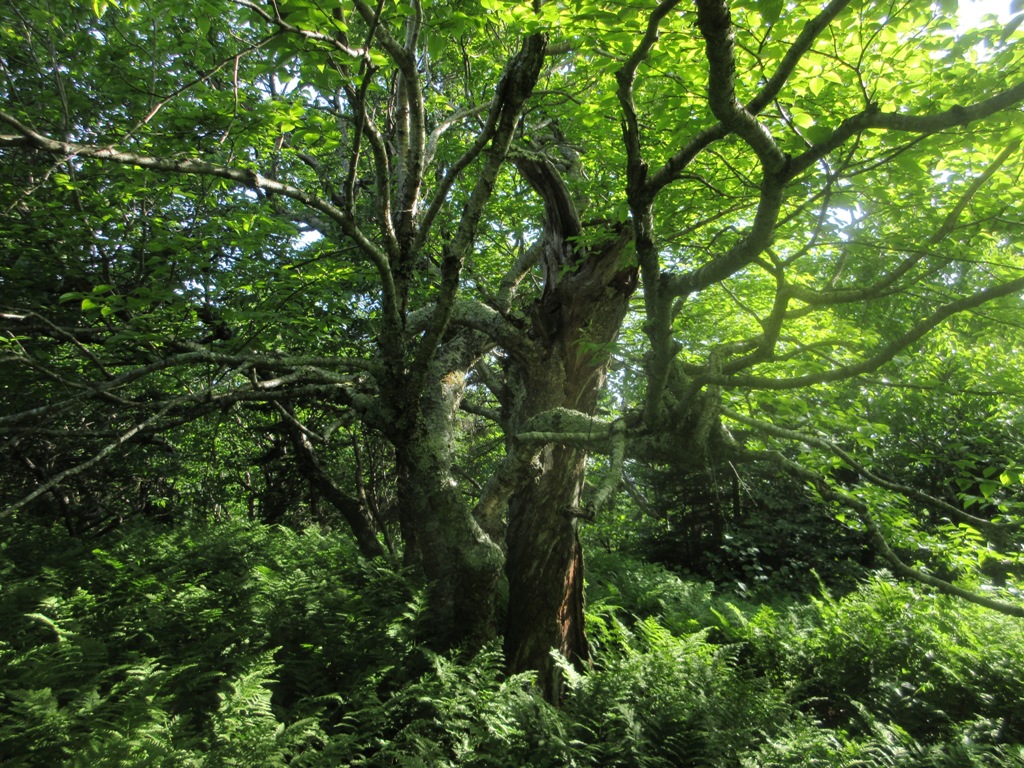
A big hemlock at the base of the ridge leading up to Rocky. In his book, Dr. Kudish notes that all the forest in the East Branch valley above the confluence with Donovan Brook is in first growth. There are 60,000 acres of first growth forest in the Catskills, according to Dr. Kudish. There is just a small percentage of that in the Whites, and only 3,000 acres in all of NH.

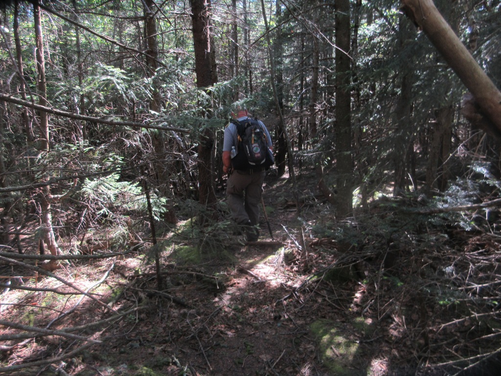
Bushwhacking up through the hardwoods. We didn't encounter any continuous herd paths on this ridge until well up near the summit in the spruces.

The Catskill forest has character.

Making our way up through a ledge band, a feature found on almost every Catskill ridge.

The spruces start at 3200 ft. and were surprisingly open.

Mark approaching the summit of his finishing peak.

Made it!

Signing in. Congrats to Mark!!

The summit canister. At 3508 ft., Rocky is the lowest, but also the most remote of the 3500-ft. peaks. For those unfamiliar with the Catskills, there are 35 peaks over 3500 ft. in elevation. A dozen are officially trailless and sport summit canisters. To join the 3500 club, you must climb them all and then climb 4 specific peaks (Balsam, Blackhead, Panther and Slide) in calendar winter. Rocky gave me 33 of 35 for summer, I need all 4 in winter. My first Catskill peaks were Wittenberg, Cornell and Slide as a Boy Scout in 1966.

A clifftop blowdown just east of the summit has opened a nice view.

Ashokan High Point, Mombaccus Mountain and Little Rocky.

Balsam Cap lurks nearby to the east. Will come back another time to hike this one and Friday Mountain, using a different approach, from Moonhaw Road
.

We decided to head back over Lone Mountain, and followed a good path down towards the col.
The path petered out towards the bottom and we bushwhacked most of the way from here to Lone.

We skirted through open conifers to the left of this dense blowdown area.

The entire whack up Lone was through hardwoods. After skirting some nasty-looking ledge bands, we ascended through ferny birch glades, picking up herd paths higher up.

Mark at the Lone canister, elevation 3721 ft.


A peek at Peekamoose Mountain.

The
well-beaten herd path on the NW ridge led us down through lovely ferns
and birches on a high shoulder. When I first climbed Lone in 2010, I
didn't find any continous path until well up towards the summit.

Octopus trees.
The path leads down through three ledge bands, then fades out at about 2800 ft.

Open hemlocks farther down.

A parting shot of the East Branch from the bridge.

No comments:
Post a Comment