JENNINGS PEAK LOOP: 7/5/17
This loop on Sandwich Dome using Drakes Brook Trail and Sandwich Mountain Trail combines an attractive brook valley with several fine viewpoints up on the ridge. Lots of reward for a 6.5 mile loop with 2150 ft. of elevation gain.
A short bushwhack leads to a spot where you can spot an old timber with spikes, left over from a splash dam on Drakes Brook, used by Parker-Young Company for river drives in the 1920s.
Another short bushwhack leads to this cascade on Drakes Brook.
Drakes Brook, high up in the valley.
Summer skies from the NE view ledge on Jennings Peak.
The hazy Presidentials far to the north, with Mt. Carrigain on the L.
The immense mass of double-summited Sandwich Dome.
The high peaks of the Sandwich Range.
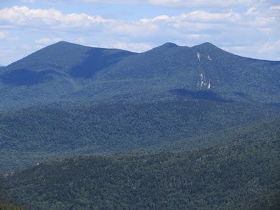
The Tripyramids, with the South Slides displayed.
The broad Smarts Brook valley from the SW view ledge on Jennings. Black Mountain (Algonquin Trail) is on the left.
Looking west down the trailless Acteon Ridge. Distant peaks visible included Monadnock, Dorset Peak and Killington Peak.
Sachem Peak, the cliff-faced culminating point of Acteon Ridge.
From another ledge, looking north to the Osceolas and Mad River Notch beyond Waterville Valley.
I went a very short distance towards Sandwich Dome to savor this ferny section of the Sandwich Mountain Trail.
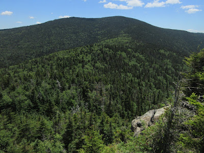
Looking back to Jennings Peak from ledges just off the Sandwich Mountain Trail as it heads towards Noon Peak.
From the same ledges, a view over the Drakes Brook valley to the northern Flat Mountain.
Sandwich Dome looms above the Drakes Brook valley headwall.
Moss and lichen on the Sandwich Mountain Trail.
Another outlook peering down into Drakes Brook valley, with the southern Flat Mountain poking over the col between Sandwich Dome and the northern Flat Mountain.
A down-look from the main Noon Peak view ledge. That's a serious dropoff!
Late afternoon vista from the Noon Peak ledge.
A small pothole on the view ledge.
From Noon Peak the Sandwich Mountain Trail drops 1600 ft. in 1.6 miles, with a few steep pitches.
A layer of granite peeling off a large boulder beside the trail.


No comments:
Post a Comment