
SNOWSHOEING SNOWS MOUNTAIN: 12/13/16
Looking for untracked snow for my first snowshoe jaunt of the season, I headed to Waterville Valley and lightly-traveled Snows Mountain Trail. Got a bit more than I bargained for, with 12+" of loose unbroken powder making for slow going. It was a challenging but beautiful December day in the woods.
I started from the Snows Mountain parking area with a climb up paved Cascade Ridge Road and then headed in on the Cascade Path, one of the delightful "local" trails maintained by the Waterville Valley Athletic & Improvement Association (WVAIA).

Onto the Elephant Rock Trail.

Elephant Rock in its winter garb.

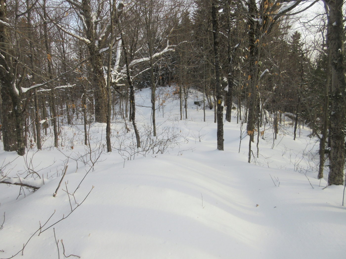
First tracks of the season.

Plenty o' snow here.

Mt. Osceola from the top of the old Snows Mountain ski area.

Zooming in for a better look at the slides in the Osceola Brook ravine (right) and a nameless ravine (left).

Top of the chairlift, which doesn't run much anymore. Snows was the first lift-served ski area in Waterville, with a rope tow installed in 1941 and a T-bar in 1952. The full history of the area can be found here.

A short hardwood bushwhack led me to the Snows Mountain hiking trail.

The snow seemed even deeper and softer off-trail.

Care was required to weave through this rocky section of the Snows Mountain Trail. There was the occasional sound of a snowshoe crampon scraping on rock.

Heading up the side of the ridge.

An elder maple.

There are many neat old gnarled yellow birches on the Snows Mountain ridge.

Up we go, one plodding snowshoe step at a time.

A notable warrior tree.

Turning the corner onto a nice trail corridor.

The snow lay deep up on the ridge.

A ridgetop erratic.

An interesting tree and boulder combo.

North Tripyramid through the trees.

A lonesome cairn.

A mini-col along the ridge.

A neat hardwood col before the final climb to the loop junction at the high point of the trail, featuring one of my all-time favorite trees.

Looking back into the col.

A branch-screened glimpse of Mt. Kancamagus.

The loop junction at about 2780 ft.

Open woods on the 0.1 mile spur to a ledge viewpoint, just inside the Sandwich Range Wilderness.
The short scramble up to the ledge was a challenge on snowshoes.

From the ledge, a partly restricted view of Sandwich Dome and Jennings Peak.

Noon Peak and its cliffs, under Jennings.

The twin rounded summits of Sandwich Dome.

Peeking around the corner to the SW peak of Flat Mountain on the left.

I returned to the loop junction and then descended 0.1 mile to the more open outlook on the southern loop of Snows Mountain Trail.

Approaching the outlook on a short side path.

Vista down the Mad River valley, with the village of Waterville in front and Welch and Dickey on the right. Middle Acteon Peak and Bald Knob are on the left side of the valley.

Mt. Tecumseh and its ski trails.

I made a short, steep bushwhack down to a spot above a precipitous ledge viewpoint, which was too tricky to get out on in the snow. I was still able to get a nice view of Sandwich Dome and Jennings and Noon Peaks enclosing the Drakes Brook valley, with the valley of Snows Brook in the lower foreground. For me, this was the prize vista of the day.

The snow highlighted the twisted limbs of this ridgecrest resident.

Heading back along my single set of tracks. Still pretty strenuous, even going downhill.

ReplyDeleteSnow Mountain lift runs during summer months taking mountain bikers up to top of ridge for reasonable price. It's fun ride mostly downhill from there. My wife and I tried it out last summer.
Thanks, Ray - I thought they sometimes ran it for mountain bikers but wasn't sure.
DeleteSteve
Wow, it looks like we're going to have an actual winter this season! Beautiful! Snows Mountain is interesting. My maps show that the actual summit of the mountain is further into the wilderness boundary. Have you ever been out there? It looks close to Lost Pass.
ReplyDeleteDennis
Hi Dennis,
DeleteWe have 17" in our yard tonight, hopefully the rain won't take too much of it. Should set up a base when it gets cold. Ten years ago my friend Keith and I whacked the length of the Snows ridge in early December with just a dusting of snow. We came down on the Cascade Brook side of Lost Pass, catching some partial views of the Sleepers, visited the beaver meadows at the head of Cascade Brook (cool view of South Tripyramid), then followed the old Woodbury Trail down along the brook. Wild out there!
Steve
Beautiful winter in the mountain. Love it.
ReplyDelete