
ALBANY MOUNTAIN AREA: 10/24/16
A cold, blustery day for visiting one of the best sub-2000-foot viewpoints in the Whites and a few other places on the eastern fringe of the Whites. Snow-free trails and some late foliage.
View of Pickett Henry and Pine Mountains from Flat Road in West Bethel, ME.

Trailhead sign. This is now officially the Albany Mountain Trail from end to end.

Over the last few years Albany Mountain Trail adopter Eric Rathbun has done an amazing amount of work to improve the northern section of this trail. Thanks for all your hard work, Eric - the trail is a pleasure to walk!

Trail crossing on an old beaver dam.
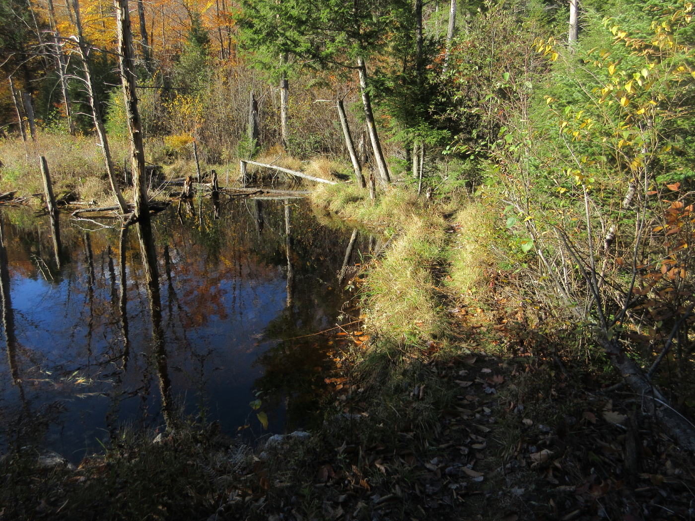
Beaver pond next to the dam.

Glowing beech woods.

More good work by Eric.

Junction with the spur to the summit of Albany Mountain. The middle section of the Albany Notch Trail has been closed due to beaver flooding, and its southern section is now part of the Albany Mountain Trail.

The spur to the summit meanders up some ledges.

The upper part of the spur is a pleasant ramble through a ledgy red pine forest.

A band of blueberry color.

Approaching the eastern viewpoint just north of the summit.

From these ledges 50 yards east of the trail's end, there was a nice foliage view to the east.

Looking NE to Broken Bridge Pond and mountains in the Rumford, ME area.

A closer look at Broken Bridge Pond.

By far the best views on Albany Mountain are from the SW ledges. What was once a semi-bushwhack with bits of cairned path is now a well-defined route marked by cairns, leading over the true summit and then along the west side of the ridgecrest.

A larger cairn marks the true summit.

First look at the sweeping SW view.

The path crosses these sloping ledges.

The view ledge at the end of the path. Quite a spot!

Looking down on Number 8 Pond, with Miles Knob and Speckled Mountain beyond.

Kearsarge North, North Moat and the distant Sandwich Range.

The Baldface Range, with Doublehead on its left.

The scene behind the view ledge.

I bundled up against the cold wind and spent an hour taking this in.

Caribou Mountain beyond the cliffs of Albany Notch.

Looking south to Keewaydin Lake and Pleasant Mountain.

Keewaydin Lake and hidden Lombard Pond.

A survivor!

On the way back I spotted this vista of snowy Goose Eye Mountain in the Mahoosucs beyond the spiky top of Farwell Mountain.

Blueberry fire.

This red pine is toppled but still kicking.

Back at the beaver pond.

Farwell Mountain - an interesting bushwhack destination - above a beaver meadow.

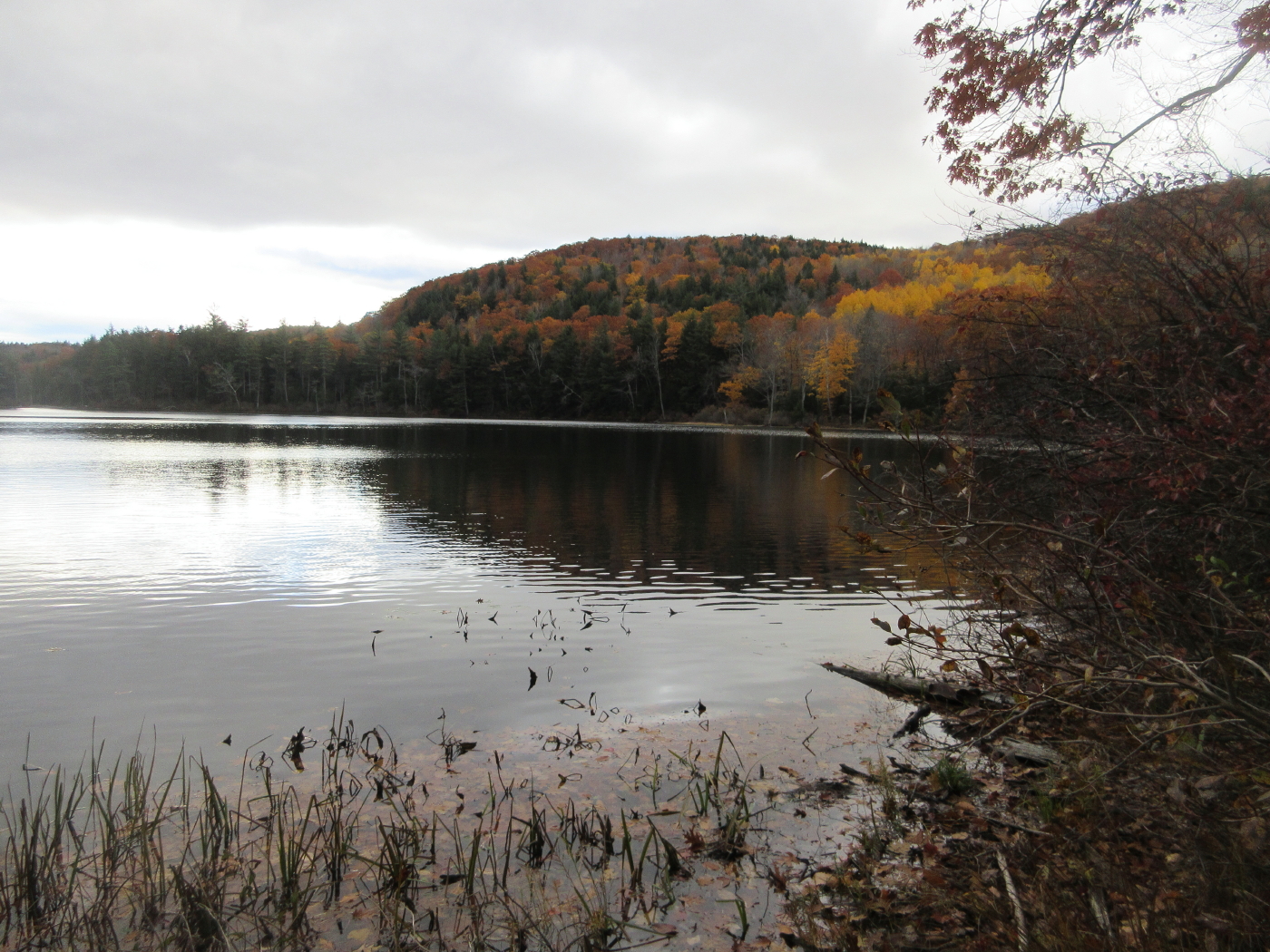
I drove a short way down the road to Crocker Pond Campground for a two-mile round trip stroll to Round Pond via the Albany Brook Trail. At the trailhead is this nice view of Crocker Pond.

A Rock of Gibraltar out in the water.

There was some great late foliage where the trail skirts the edge of Crocker Pond.

Neat ledges on the shore of Crocker Pond.

Colorful forest rambling.

A note to anglers at Round Pond.

Trail's end at peaceful, secluded Round Pond.

Looking at the west shore of Round Pond.
I whacked around the west shore for a view across to the cliffs on a small ridge east of the pond. Back in the '90s a whack to the topmost cliff provided a great bird's eye view of the pond.

Late in the day I drove up Tyler Road to one of the more remote trailheads in the Whites, where the east end of Haystack Notch Trail meets the north end of Miles Notch Trail. The road in was much improved over its state five years ago, though a soft drainage dip at the very end could be a challenge for a low-clearance vehicle.

I made a quick check on the condition of each trail from this large clearing (added to the WMNF a few years ago) to where they leave logging roads and enter the woods. Things have changed a bit from 2011. Note that the mileage on the Miles Notch Trail sign is incorrect. The north and south trailhead signs were inadvertently placed at the wrong ends. This 30-acre open area is being maintained as a Permanent Wildlife Opening.

The start of the Miles Notch Trail.

The brooding hulk of Caribou Mountain seen from Miles Notch Trail.

Dusk view of Miles Notch from Haystack Notch Trail.

Great Post Steve! After I finish my last five 4000 footers, I plan on exploring a few days in the eastern Whites.
ReplyDeleteAmazing colors. I love autumn
ReplyDeleteBeautiful area. I'll have to get my dad to consider us going up that way for one of our future backpacking trips. 3 Generations: My dad, me, and my son.
ReplyDeletemy grandfather had a place on the flat rd for over 30years / These pictures bring back memories i have in my mind from my trip up tht mountain crocker pond etc
ReplyDeleteThat is a great area -I'm glad you have some good memories of it.
DeleteSteve