
IRENE'S PATH, WATERVILLE FLUME & THE SCAUR: 2/11/16
I enjoyed a nifty snowshoe trek into the Waterville backcountry on a cold, cloudy day with frequent flurries. Snow cover was thin and scratchy in some places, with a few icy spots hidden by a thin layer of dry snow, but there was fine powder to be found up on the ridge and deep in the valley.
I started out late morning on the familiar Livermore Trail, which offers this glimpse of Flume Peak and the ledgy knob known as The Scaur as you approach the Depot Camp clearing.

What were formerly the Kettles Path and the top 0.2 mile of the Scaur Trail have been combined with a 1.1 mile section of newly built trail to create Irene's Path, named for 2011's devastating Tropical Storm Irene. The new section replaces the former Flume Brook Trail, which was badly washed out by the storm and permanently closed.

This is one of the Kettles, bowl-shaped hollows formed when ice chunks were left behind by the glacier and later melted. The Kettles Path and was first opened about 1890 by Arthur L. Goodrich, who wrote an early guidebook to the Waterville Valley.

The path runs between two kettles, with slopes dropping off on either side.

A towering white pine near the third kettle.

Figuring that the steep conifer-wooded stretch of trail on the north side of The Scaur might be icy, I decided to bushwhack up an open hardwood slope around the east side of The Scaur, rejoining Irene's Path up on the ridge.

A bonus on this route was a close look at the cliffs of The Scaur from below.

It is a rugged little nubble!

Have never heard of any rock climbing here.

A beautiful hardwood forest slope.

A fine old sugar maple.

This maple is prominent looking down from the top of The Scaur.

I rejoined Irene's Path by this "Rock of Gibraltar."

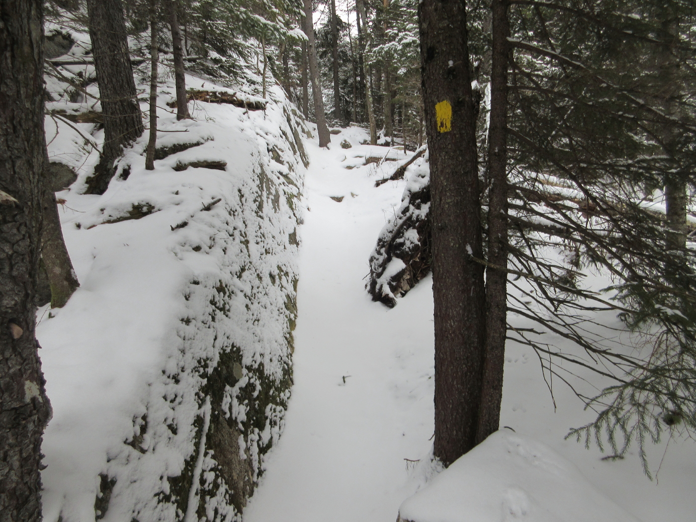
For a half-mile the new trail runs along the ridge eastward from The Scaur.

Snow hides the ferns that carpet the flank of this boulder.

I like this little spot on the trail. It looks very "Sandwich Range."
Appearing a little more wintry up here.

Good snowshoeing in the open hardwoods.

From the ridgecrest the trail descends along a sideslope into the Flume Brook valley.

This section was beautifully constructed by the professional Off the Beaten Path trail crew. It works its way down through some very rugged terrain with a couple of steep switchbacks.

As it continues to descend towards the Waterville Flume, Irene's Path passes an outlook with a striking view of the Osceolas, a bit fuzzy with fog and flurries today.

To the north, a profile of Mad River Notch.

Several cliffs can be seen on the west end of Mount Kancamagus.

The trail reaches the floor of the Flume Brook valley amidst some rough terrain.

New trail signs at a seldom-visited junction.

Heading up the spur trail to the Waterville Flume. There was about 6 inches of powder here atop a thin but solid base.

A pile of debris from Tropical Storm Irene blocks the entrance to the Waterville Flume.

Looking into the flume from the brookbed below.

Downstream, Flume Brook was severely scoured by Irene.

Cool crags on the west wall of the flume.

Looking up Flume Brook inside the flume.

Before Irene there was a rough dead-end path up along the right edge of the flume.

Irene obliterated part of that footbed and now there's a pool of water there.

I bushwhacked up to the top of the east wall of the flume, where I found a view down the valley, obscured by clouds.

Higher up along the edge I could peer down into the chasm, with a snow squall blowing through.

From there I whacked a short distance up to the Old Skidder Path, and came down along it on a steep and difficult sidehill.

Approaching the base of a big rock slab/slide.

Looking up at the iced-over slab.

Making tracks in the powder on the lower section of Old Skidder.

Back up on the ridge along Irene's Path, I admired one of nature's sculptures.

Evening sky over the Rock of Gibraltar.

Obscured sun over Mount Tecumseh.

I made the short, steep side trip to The Scaur over thin snow and ice. It had suddenly cleared, revealing fine wintry vistas.

Looking towards Mount Tripyramid and Lost Pass.

Sandwich Dome with Noon and Jennings Peaks.

Jennings Peak and Acteon Ridge, where I've enjoyed several bushwhacks over the last couple of months.

Alpenglow on Middle & South Tripyramid.

Looking down, I could see my bushwhacking tracks from earlier in the day. I highly recommend the snowshoe trek to The Scaur and Waterville Flume. It offers varied forests, interesting sights and a real sense of wintry remoteness. Some challenging spots, as well. I should add that until we get more snow, the steep pitch leading up to The Scaur has some icy spots that are better handled with sharp Microspikes or even crampons. I got down this stretch with MSR Denalis, but it wasn't pretty. By trail the whole way, it's about 6 1/2 miles round trip with around 1250 feet of elevation gain.

No comments:
Post a Comment