
BALD HILL SNOWSHOE II: 1/26/15
I wanted to get another snowshoe bushwhack in before the upcoming snowstorm ramped up the trail-breaking difficulty. Great firm conditions prevailed on a leisurely ramble to the Merrill Brook beaver ponds and 2397-ft. Bald Hill on the south ridge of Mt. Moosilauke. I had enjoyed this same snowshoe bushwhack last January. This quietly beautiful corner of the mountains has become a favorite in the last couple of years.
The road was well plowed and sanded up to parking spots at Breezy Point, which rivals Ferncroft in Wonalancet for the title of "most scenic trailhead in the Whites." From the open fields there's a view of Mt. Moosilauke's snowy crest peeking out between its South Peak (L) and East Peak (R).

Rambling across the fields, with Carr Mountain in the distance.

Breezy Point has a rich history, extending back to 1834 when Nathaniel Merrill built a farmhouse here. In 1860 the Merrill family converted the farmhouse to an inn known as Merrill’s Mountain Home, or Merrill’s Mountain House, holding about 35 guests. In 1877 the Breezy Point House, a larger inn accommodating 50 guests, was built downslope from Merrill’s. It was destroyed by fire in 1884, but in 1886 it was replaced by the 100-room Moosilauke Inn. In 1915 Merrill’s Mountain Home was itself a victim of fire, and in 1953 the Moosilauke Inn suffered the same fate after closing for the season. A smaller inn was constructed at the site, and was open into the 1980s. Breezy Point was also home to the nine-hole Moosilauke Golf Course.

From Breezy Point, I followed a familiar old logging road westward.

An interesting track pattern on the old road.

For a while I bushwhacked through open hardwoods parallel to the road. To my delight, I found superb snowshoeing conditions in the woods, with a couple inches of powder atop a solid base.

A bearing tree marking a former boundary of the White Mountain National Forest. The Forest Service acquired the Breezy Point tract from private owners in 1995, with an assist from the Trust for Public Land.

Moose and mouse, side-by-side.

An old moss-coated antler.

After following a vague path from a turn in the logging road, I bushwhacked down to the chain of beaver bogs and ponds at the head of Merrill Brook.

It was fun wandering through these frozen wetlands.

An old beaver lodge and beaver dam at the largest and westernmost pond in the chain.

Looking across the pond at Chokecherry Hill.

The gentle climb up Bald Hill was wonderful - open woods, sunshine, and "wander at will" snow conditions. Winter whacking at is best.

I traversed a small ridgetop bog on the crest of Bald Hill.

Beech woods near the flat summit of Bald Hill.

On the northwest side of the summit is a natural meadow-like opening with a peek out to Vermont.

Then it was time to head down the broad west shoulder of Bald Hill through a magnificent open hardwood forest, reminiscent of bushwhacking in the Catskills.

This hardwood heaven is predominantly composed of maples.

The mysterious bent trees I first saw on a trip here last January. At that time I sent a similar picture to Dave Govatski, a retired forester from the WMNF and an expert on anything to do with the White Mountains. His reply was: "I suspect it was an ice storm that hit when the trees were just saplings. The tension and compression left them in a bent over position until the tree leader started to seek the sun. Then it grew up straight. Fascinating."

Farther down the shoulder I plunged into spruce forest speckled with snowy ledges. After an unsuccessful search for what I thought might be a new view ledge, I settled in for a lunch break on this ledge I had visited last year.

There's a nice view of the Killington Range on the horizon between Mt. Cube (L) and the low round dome of Sunday Mountain (R).

Smarts Mountain can be seen to the left of Cube.

I explored a couple of other random ledges, but no views were to be found here.

On the way back across I found a small opening with a peek at the snowy South Peak of Moosilauke.

I crossed a broad, gentle hardwood-cloaked drainage.

A twister of a tree (yellow birch).

Jeffers Mountain in the Benton Range glimpsed through the trees.

Climbing back up the west ridge of Bald Hill in late afternoon.

Icicles adorn a wooded ledge.

Storm clouds slowly moving in.

This little ledgy bump is the high point of Bald Hill.

Back down to the beaver pond.

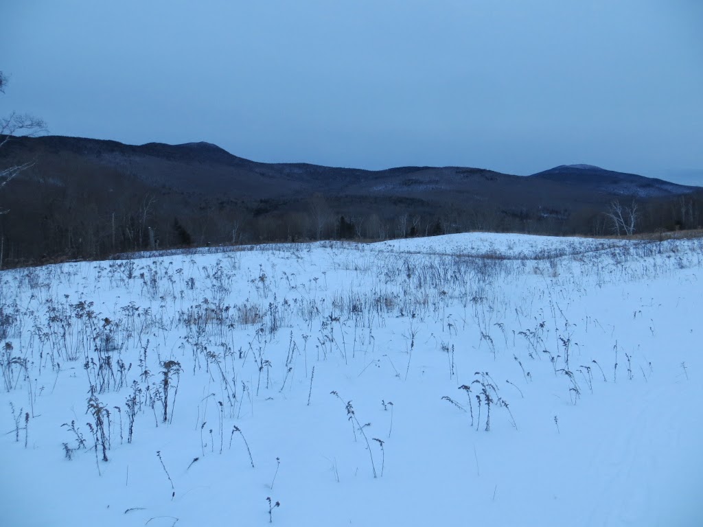
Dusk at Breezy Point, looking across to Mount Kineo.

Kineo and Carr across the fields, wrapping a rewarding six-mile ramble.
No comments:
Post a Comment