
MCCRILLIS PATH & BLUEBERRY LEDGES: 11/29/12
In the latest edition of the
always-interesting Wonalancet Out Door Club (WODC) newsletter is “A Birth Announcement for a Hiking
Trail.” The article celebrates this summer’s reopening of the western section
of the historic McCrillis Path by the WODC and the Forest Service.
In the early to
mid-1800s, this route on the lower south slope of Mt. Whiteface served as a
town road connecting Wonalancet (or Birch Intervale) with Whiteface Intervale.
Even after the settlements along the road were abandoned around 1850, it remained in use
as a footpath connecting the two trailheads and making possible a long loop over
Mt. Whiteface. It is one of the oldest hiking routes in the Whites.
A few years ago a landowner
closed off public access to the western half of the trail. Luckily, George and Nancy Bates of Sandwich purchased an adjacent parcel, placed it under conservation easement, and offered
to have a relocated McCrillis Path run across their land. George personally cut
this trail segment. An additional half-mile was built across National Forest
land by WODC and the Forest Service.
With the reopening of the trail officially announced, it was time to check out the new route. It turned out to be an extremely interesting low-level hike, with scenery, history and nice woods. Cath Goodwin and I drove down to Whiteface Intervale on a brisk partly sunny morning. We parked at the trailhead for Flat Mountain Pond Trail on Whiteface Intervale Road. (There is no hiker parking allowed beyond this point.) We brought along
the map of the relocated trail that was created by Mike Bromberg and
came with the WODC newsletter. The newsletter and map can be seen at: www.wodc.org/newsletter/2012-11.pdf
The first 0.6 mi. was a very scenic hike up Whiteface Intervale Rd., at first with Mts. Whiteface, Passaconaway and Wonalancet in view to the N.

Mt. Chocorua and Mt. Paugus could be seen to the NE across the fields.

At a bend in the road was an especially fine vista of Mt. Whiteface and its sprawling ridges.

Off to the S, the Ossipee Range, with Black Snout prominent on the R.

We spent a fascinating fifteen minutes visiting a 19th century cemetery, in which the McCrillis family was especially prominent. In the 1890s trampers lodged at the McCrillis farm and boarding house in the Intervale.

A veteran of the Revolutionary War is buried here. Nearby is the resting place of Albert and Alice Gleason, for whom the Gleason Trail on Sandwich Dome was named.

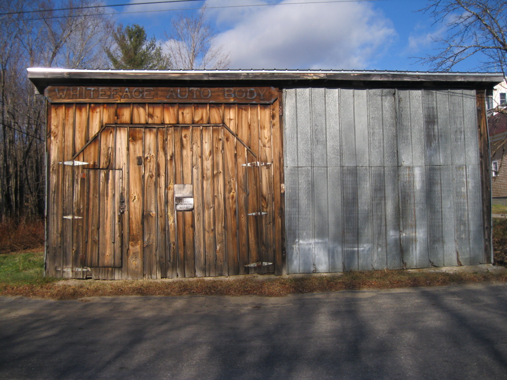
Whiteface Auto Body, now closed, was a longtime local landmark.
We turned L on gravel Neal Brook Rd., then L again on a woods road with this sign for the Ambrose Nature Preserve. The trail proper began at a temporary trail sign and blue blazes just beyond, taking the L fork. (The R fork is a ski trail.) Thank you, Nancy and George Bates, for making this land and trail available to hikers!

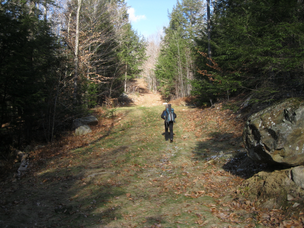
We climbed steadily up an old woods road.
At the top of the climb a blue-blazed footpath led L to a neat little gorge with ice-fringed cascades on Captain Neal Brook.

Above the gorge was an opening with a framed vista of Mt. Israel (L) and Young Mtn. (R).

A few yards farther, there was a view of the SE ridge of Sandwich Dome a short distance to the R of the trail. The summit of the Dome just peers over in back on the R, with part of South Flat Mtn. on the far R.

Farther along, the trail crossed the red-blazed boundary into the WMNF and Sandwich Range Wilderness.

Nice hardwood in here, with some good bear trees.

We paused to admire this old shaggy-barked maple.

The trail descended to meet the original route on the old town road, called the "Haunted Roadway" by local historian Doug McVicar. Soon we came upon this mossy old stone wall, partly obscured by blowdown.

Another old stone wall in the woods.

Not much farther was an old cellar hole from the homestead of the John Tasker family. They cleared this land in 1806 and stayed, on and off, into the 1840s. We had lunch here amidst the silence of the dark, sprucey woods that have reclaimed this land, trying to imagine what life was like two hundred years ago, with a bitter winter fast approaching. Farther along the McCrillis Path we found rock piles and other evidence of the Capt. John Currier homestead, which was also uninhabited by 1850.


A trailside boulder with a fern mop.

The spruce and pine-fringed Blueberry Ledges are a neat area to hike through. Today there were only a few ice patches to negotiate.

Heading up the last slabs to the upper end of the ledges.

Junction at the top of the ledges.

A victim of Hurricane Sandy?

We sat for a while on a cold granite slab for a snack. The views are restricted, but nice, such as this look out towards Ossipee Lake.

The Ossipee Range, with Mt. Shaw on the L, is seen over the trees. While we were hanging out here, two gents and a dog came down from Whiteface. One of them said, "It's winter up there!"

Late afternoon light on the ledges. As we were leaving, a flock of White-Winged Crossbills alighted in a nearby spruce. We stayed a few more minutes to watch them extracting seeds from the spruce cones.

On the return trip, a beautiful section along the old town road on McCrillis Path.

Sunset from the McCrillis Path vista. We hustled down from here to get out of the woods before dark and strolled back along the road, ending a very enjoyable trek on the lower slopes of Mt. Whiteface.

Thanks for this report, Steve. I printed out the Mike Bromberg map and I intend to check out the trail later today.
ReplyDeleteHi Raymond,
ReplyDeleteIt's a nice reroute - hope you enjoy(ed) it!
Steve