
SMARTS BROOK TRAIL: 6/10/11
A morning hike partway up the Smarts Brook Trail (a long route up Sandwich Dome off Rt. 49) to check on a few things for the guidebook.

After an initial short climb, the trail follows a partially grass-grown gravel logging road for more than a mile. Easy walking, if not particularly interesting.
 At 1.1 mi. there's a nice cascade and pool on Smarts Brook, right next to the trail. This is a popular destination for a short, easy hike.
 In another 0.4 mi. the trail/road passes by a beaver pond on the R.
 Next, it crosses along the edge of a logging yard from a timber harvest done a few years ago. In the next mile the trail passes a number of small regenerating logging cuts.
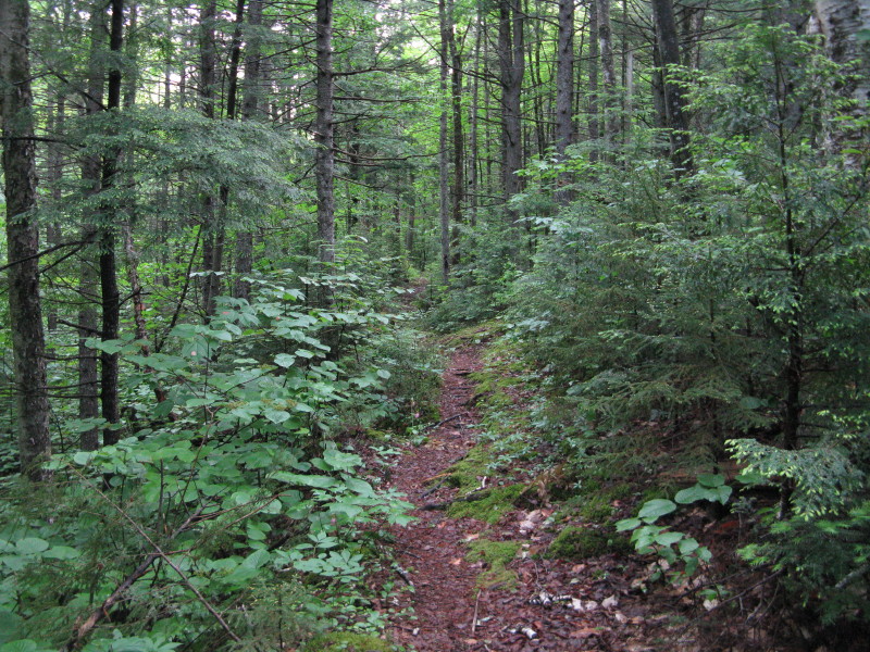
The character of Smarts Brook Trail changes markedly once across the Wilderness boundary, 2.5 mi. from the road.

The narrow trail, with mostly good footing, leads through a deep mixed forest in the beautiful upper valley of Smarts Brook.
 Although the trail generally stays above the brook, there are a few places where you can have a look.
 A fine trio of lady slippers.
 About 3 1/4 mi. in, a hole in the trees offers a peek up at the cliffs of Sachem Peak, a prominent feature of Acteon Ridge, the spur ridge that descends off Jennings Peak.
 Sachem Peak is a fine bushwhack destination, and its ledges have commanding views over the Smarts Brook valley.
Nice woods along the trail.

About 3 1/2 mi. up the valley, I made a short foray over to a nice spot on the brook for a lunch break.

Deep conifer forest here, though only 2200 ft. in elevation. This was my turnaround point.
 On the way back I made a short bushwhack to see a small cascade and pool.
 I stopped for a few minutes at the beaver pond and sat on an old log in the warm sun.
 On the lower part of the return trip, I took the Tri-Town Trail, one of three X-C trails in this area that are popular with walkers and hikers. I had never been on the Tri-Town before (so named because it passes into the towns of Waterville, Sandwich and Thornton).
 This turned out to be a delightful woods walk, with good footing and some nice hardwood forest. It climbed gently over a low ridge, then descended gradually back to the Smarts Brook Trail, 0.3 mi. above the trailhead. I highly recommend this route as an alternative to most of the dull logging road walk on Smarts Brook Trail; distance is about the same. Also enjoyable is the loop on the Yellow Jacket and Pine Flat Trails on the other side of Smarts Brook, which leads past a scenic gorge on the brook.
No comments:
Post a Comment