PERKINS NOTCH: 11/25/09
Perkins Notch, the gentle gap between Carter Dome and Black Mountain, is a remote and interesting area at the SW corner of the Wild River Wilderness. The broad uplands in this region are a haven for beaver and moose, and hidden in the woods is some interesting logging history relating to the old Wild River Railroad.
On the day before Thanksgiving, the forecast promised "brightening skies" after low clouds, fog and drizzle in the morning. Alas, the sun was never to be seen this day, but it still proved to be an interesting and rewarding trek.
I drove up Carter Notch Road from Jackson to the small, rough parking area for the Bog Brook Trail, and set off at 8:15 am. (Note that this road is not plowed for the last half-mile, and in winter parking is almost nonexistent.)

The first two brook crossings on the trail were easy enough, but the third - over the Wildcat River - didn't have a comfortable rock crossing this day. The stream is wider than it looks in the photo.
 After a futile search for a better rock crossing, I ended up sliding across this log on my butt. Not many style points, but no one was watching.
The Bog Brook Trail climbs gradually, with some good walking and some very mucky stretches. In its upper mile it crosses mossy Bog Brook five times.

One stretch leads through a nice spruce corridor alongside the brook. This area reminds me of valley trails in the eastern Pemi Wilderness.
 The fifth crossing of Bog Brook is by an old beaver pond/swamp. With the footbridge out of commission...
...you have to cross on a slippery beaver dam with uncertain footing.
 Just beyond, I turned right onto the Wild River Trail and soon broke out into open hardwood glades.
 A rolling section of trail brings you to the junction with the Rainbow Trail in the secluded woods of Perkins Notch. As recounted in the recently published Nature and Renewal, by Dean Bennett, and also in the out-of-print Logging Railroads of the White Mountains, by C. Francis Belcher, and The Wild River Wilderness, by D. B. Wight, the owners of the Wild River Railroad wanted to get at the timber in the upper valleys of Bog Brook and Wildcat River. But these drainages were on the opposite side of Perkins Notch from the railroad in the main Wild River valley. The logs would have to be hauled uphill to the notch, a job that was too much for the horses. So in 1902 woods boss Jim Keenan rigged up a winching rig known as a "donkey engine" or "steam donkey." This steam-powered engine had a large drum attached and used a steel cable to haul the logs up to the height-of-land, from which they were sledded down to the railroad on the north side.
 In Nature and Renewal there is a picture of Joe Taylor, a retired Forest Service employee, examining a piece of this cable. I hoped to find it on this trek. Armed with with some email advice from Ben English, Jr. of Jackson, one of our finest White Mountain historians (co-editor of the two Our Mountain Trips books and author of two books on Crawford Notch railroading), I found the inch-thick steel cable near the junction of the Rainbow and Wild River Trails.
Nearby was a shallow ditch that Ben had mentioned, perhaps made by, or for, the hauling of the logs up the slope.

Upslope from the cable was a series of large bolts protruding from the ground.

 Together the bolts outlined a rectangle roughly 5 feet by 15 feet. Ben and I think that possibly this represents the location of the donkey engine used to pull the cable.
 Pleased with these finds, I continued across a wild section of trail leading to No-Ketchum Pond and Perkins Notch Shelter.
The "pond,"downslope from the trail just past the shelter, is a long, narrow pool of water hemmed in by mats of bog vegetation. In 1882 AMC explorer Randall Spaulding estimated its area at 500 feet by 60 feet. It looks smaller today. I root-hopped down the second of two muddy side paths and stood on a rock for a fuzzy view of the east end of No-Ketchum.

The shelter, built by the Forest Service about 1957, provided a welcome dry spot for lunch away from the drizzle.


The view across the bog from the side of the shelter was fog-soaked today. On a clear day you can see the Carter Dome massif.

Heading back to the Rainbow Trail, I bushwhacked down to the next bog west of No-Ketchum Pond. This is beautiful, remote wetland country, which, as noted in AMC guidebooks from the 1920s, "possesses a weird charm of its own."


I went a little ways up the Rainbow Trail, then headed NE through wonderfully open glades of birch and hardwood.


I made a tour of four more beaver ponds and meadows, some of which I first visited in the mid-1980s while surveying the area in early summer as an Audubon Society volunteer for the NH Breeding Bird Atlas. It was a lot less buggy today!

An open spruce glade led me out to one of the ponds.

 In this area there was sign of beaver...
...and moose. Along the way I made use of several well-trodden moose paths, and there were some fresh-looking, glistening piles of pellets.

I made my way out to one side of the largest pond/meadow of the group. I spotted a sitting rock on the far side, and had to go there.

It turned out to be a great spot to sit while the drizzle took a break.

The view from the sitting rock. Not a sound to be heard on this foggy, calm day. Wilderness, indeed, out here.

For a moment the mists parted, slightly, allowing a partial glimpse of Rainbow Ridge, the southern spur of Carter Dome.
 On the return trip I came across this unusually shaped maple.
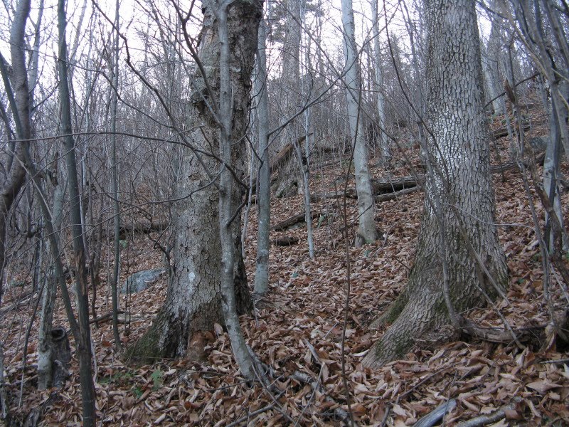
Some of the nicest open hardwood forest you'll find anywhere in the Whites.
 I had to hustle along the trails to make it out before dark. Partway down the Bog Brook Trail, I encountered a bull moose occupying the footway. Unlike a similar encounter during mating season in late September (on the Blueberry Ledge Trail on Mt. Whiteface), when an aggressive bull came at me and forced an unplanned bushwhack, this moose took off immediately into the woods. For the lower part of the hike I followed a Forest Service logging road that leads back to Carter Notch Road. It was a half-mile longer than the corresponding section on the Bog Brook Trail, but it avoided three brook crossings and was much easier to walk in the gathering gloom. Despite the dreary weather, it had been a great day of exploration in mostly-forgotten Perkins Notch.