Thursday, December 8, 2011

IN HONOR OF BRUTUS ROONEY (2000-2011)

Very sad news this week to hear of the passing of Brutus Rooney, the legendary hiking Newfoundland and faithful companion to Kevin Rooney. Our deepest condolences go to Kevin on his loss.

Brutus was a wonderful dog, and brought joy to all those around him. His hiking exploits with Kevin and the "Brutus Brigade" are legendary. Brutus was the first canine to climb all the NH 4000-footers in winter, finishing on Mt. Pierce in January 2004, and in the winter of 2004-2005 he climbed all the peaks in a single winter.

I was privileged to join Kevin, Brutus and Friends on two winter hikes in 2005. Here are a few photos from those trips in honor of Brutus.


On the way up East Osceola, Brutus takes a break at the Greeley Ponds-Mt. Osceola Trail junction with Cath Goodwin, who has herself climbed a few winter peaks. (She, Steven Martin, and Cindy DiSanto were the first hikers to do all the 4's in a single winter, back in 1994-95.) Cath and Brutus were dear friends, and Cath would bring a variety of delicious treats for "Brutie"on every hike.

Brutus makes his way up the crossing of the steep slide high on the flank of East Osceola. He could handle an amazing variety of trail conditions, but one place he balked was the slide on Owl's Head. Kevin found another route up the mountain that avoided the slide, and hence was born the "Brutus Bushwhack."


A few days later, my wife Carol and I joined the Brutus Brigade for a hike up Mt. Tecumseh, #46 on the all-in-one-winter list for Brutus. Here the group gathers in the parking lot at Waterville Valley. This was the setting for an interview Kevin did with WMUR-TV, a link for which is included in Kevin's recent post on Views from the Top.

Steven Martin (on the left) was another close friend to Kevin & Brutus and accompanied them on many a hike.

On the way up the Mt. Tecumseh Trail we had a chance encounter with Mohamed Ellozy, who was on his way down the mountain. It was great to get a shot of Kevin, Brutus and Mohamed.

Brutus was a smart hiker and knew when to take a break. This hike was a leisurely and thoroughly enjoyable trek.

My wife, Carol and Brutus at the summit of Mt. Tecumseh.


Lunch break at the summit. A few days later, Brutus finished his all-in-one-winter quest on Cannon Mountain, with a large group of friends joining him.

Kevin and Brutus, the best of friends.

Sunday, December 4, 2011

QUINCY BOG NATURAL AREA: 12/1/11

Quincy Bog Natural Area is a 50-acre preserve at the foot of Stinson Mountain between the towns of Plymouth and Rumney. Owned by the non-profit Rumney Ecological Systems, it features a pond and associated variety of wetlands, along with upland forests and granite outcrops. (Great birding potential in spring and summer; might be a bit buggy, too!) The 1.3-mile Joe Kent Ecological Trail makes a loop around the pond, with trailhead parking available at the end of either Quincy Bog Rd., a short spur road off Quincy Rd. east of Rumney, or Cranberry Bog Rd., a spur off Quincy Bog Rd.

A detailed trail guide and other information is available here.

On a crisp, clear morning, I started from the end of Cranberry Bog Rd. and turned right on the trail to the south end of the pond.

This bridge lead across the pond outlet.


A good view north to Stinson Mountain from the bridge.


Nice woods walking.


Old stone walls, no surprise at this low elevation (around 500 ft.).


View NW towards lower spurs of Stinson.


A 0.1 mile side path leads out to "The Point."


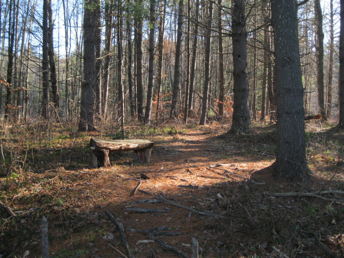
A bench awaits in piney woods.


Pretty view across to a cluster of tall pines.


"The Ledges" rise on the north side of the pond.


View across the bog to a spur of Tenney Mountain.

Neat stretch of trail along the ledges.

Long swamp walkway.


View across the pond from the NW shore.


There's a small nature center on this side of the pond, where programs are held in summer and fall. Quincy Bog is a neat little area, well worth visiting if you're in the Plymouth area and looking for a short, rewarding walk.

Wednesday, November 30, 2011

ALONG LOON X-C SKI TRAILS: 11/30/11

Took a morning walk along the Serendipity and Black Mountain Trails on the eastern end of the Loon X-C ski trail system. These are mostly used for mountain biking and horseback riding in summer, and a trail fee is required in winter. They are on WMNF land but parking is somewhat problematical in the adjacent private development, so this is primarily a walk for "locals." One option is to bike about 1.3 mi. from the Loon ski area parking lots.

The Serendipity trail follows along the East Branch of the Pemigewasset, and then the Hancock Branch. This view looks across the East Branch to Potash Knob and East Whaleback.

A massive bench of stone.

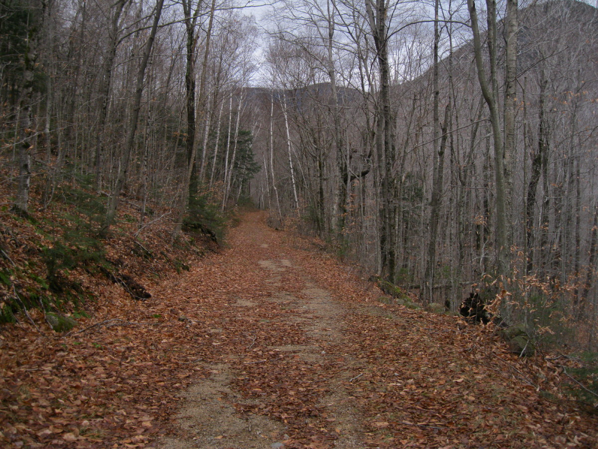
Nice walking on an old logging road.

Heavy rain overnight had the river raging, and two kayakers went bobbing by.

Vista downstream to Potash Knob.

Looking upstream to the confluence of the East Branch and the Hancock Branch.

The Hancock Branch was running strong.

Irene damage along the Hancock Branch. Easy to see how the Kanc Highway got washed out farther upstream.

A logjam from Irene. Yikes!

X-C trail sign.
Old logging bridge abutment. The map in Bill Gove's J.E. Henry's Logging Railroads (currently out of print, but due out in a new edition in spring 2012) shows a short spur line leading across the Hancock Branch at about this location, leading to Camp 13. Hard to tell from the map how high up the slope the camp might be, but there are surely a few logging camp aficionados who know.

Looking upstream on the Hancock Branch.

I made a return loop on Black Mountain Road, pleasant walking on an old logging road. According to Gove's book, the slopes of Black Mountain were logged by J.E. Henry in the 1890s, and again by the Franconia Paper Co. from 1953-55, when a Black Mountain Camp was built. Gove says there is evidence that this area may have even been logged in pre-Henry days by river driver Nicholas Norcross of Lowell, MA.


There are a couple of branching logging roads that provide steeper and more challenging routes for X-C skiers.

The "other" Hancock Loop Trail.

A gentle downhill amble back to the start of the loop, 2.36 mi. total according to my GPS.
Fine late fall walking, between the snows.

Thursday, November 24, 2011


FLAT MOUNTAIN POND EXPLORATION - 2008

Since this tramper has not been able to spend any significant time on the trail for the past three weeks, we'll post an occasional trip report from pre-Mountain Wandering blog days. This one is from October 2008 and involves some exploring in the vicinity of the north end of Flat Mountain Pond, in one of the more remote and interesting nooks of the Sandwich Range.

It was a gorgeous fall day from start to finish. I launched the journey from the eastern trailhead for the Flat Mountain Pond Trail, starting at Whiteface Intervale Rd. The first easy mile on Flat Mountain Pond Trail, on newer and then older logging roads, leads to this nice view of Mt. Whiteface from an opening on a bank high above the Whiteface River.

Farther along, the trail crosses the Whiteface River - not easy at high water - and follows along beside it.

This is a nice section of walking up this valley.

After recrossing the river three miles in or so, it leads up through a corridor of hobblebush hell.

From the bog at the north end of Flat Mountain Pond, there's a long view to Sandwich Dome and its sprawling spur ridges.

The north end of Flat Mountain Pond - a watery gem of the Sandwich backcountry.


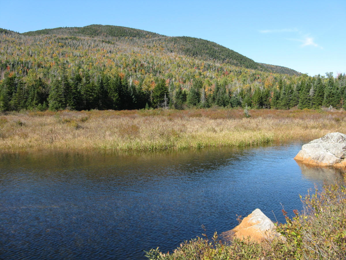
From the NW corner of the pond, a spur line of the old Beebe River logging railroad (1917-1942) leads a short distance to a pretty beaver pond with a view north towards the remote and mysterious Lost Pass, which is flanked by the northern of the two Flat Mountains on the left and a western spur of East Sleeper on the right.

A closer look at the northern Flat Mountain.

Relaxin' along the railroad grade.

Looking back down along the beaver pond/meadow.

Heading north up the railroad grade towards Lost Pass.

The brook that drains down from the pass.

A lost piece of rail.

Looking across another, smaller beaver meadow towards Flat Mountain.

Boggy country out here.

From here I struck off into the woods in search of a small, elusive ledge on a southwestern spur of East Sleeper. I'd spotted this small granite cliff from other vantage points in the Flat Mountain Pond area. Parts of the whack led through beauitful birch glades that grew up after the great 1923 Flat Mountain Pond fire, which ignited in slash from the Beebe River logging railroad operation.

After a rather lengthy zigzagging search across the broad ridge, I found the ledge and its view of Flat Mountain Pond resting on its high plateau, and Sandwich Dome beyond.

A closer look at the pond.

Looking SE down the Whiteface River valley to the Ossipee Range.

Nearby to the south, the southern Flat Mountain.

A golden glade on the way back down off the ridge.

Before heading home, I poked around the site of Camp 11 on the Beebe River line.

A crosscut saw blade nicely displayed on a bed frame. (A reminder that it is illegal to remove historic artifacts from the WMNF, plus it deprives others of the opportunity to see them.)


Another blade, almost buried after 80 years.


Late afternoon light on the beaver pond and Lost Pass. The beauty and remoteness of this area has drawn me back quite a few times over the years.