In 0.4 mile blue blazes mark the entry into the 12,100-acre Randolph Community Forest, the largest town forest in New Hampshire, encompassing much of the SW portion of the Crescent Range. For more info visit randolphforest.org.
The Vyron D. Lowe Trail ascends via several switchbacks through hardwood forest of various ages, with some ferny sections like this.
The steadiest section of climbing leads through a beautiful open forest of sugar maples.
Wonderful!
Higher up the trail passes through an interesting little jumble of boulders.
The last section is a delightful walk along an old logging road lined with ferns.
The signature view at Lookout Ledge is southward to the Northern Presidentials: Mts. Madison, Adams and Jefferson.
Madison and Adams are3 especially magnificent from this angle, with a fine look into the gaping maw of King Ravine.
Wow!
After a nice mostly bug-free sojourn on Lookout Ledge, I headed up the Crescent Ridge Trail.
More of the fern-filled hardwood forest.
I wanted to check out a couple of viewpoints on the Four Soldiers Path. This trail, which was opened by the RMC in 2002, provides access to the remote Pond of Safety, The pond's name dates back to the American Revolution, when four soldiers of the Continental Army who were unjustly accused of desertion sought refuge at this lonely backwater.
I first went 100 yards east to a ledge that sports a rustic bench...
...and a view of Mt. Adams that has become a bit more restricted since I was last here in 2016.
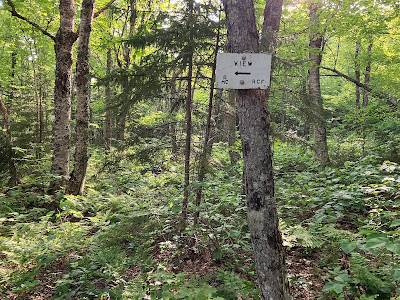
A classic RMC sign marks the side path.
This view, also, has become more obscured over the last nine years.
There's still a decent look at Mt. Adams above King Ravine and Mt. Jefferson above the headwall of Castle Ravine.
A tenth of a mile above the viewpoint is a spot at 2800 ft. known as "Eye of the Needle." There was once, many years ago, a unique perspective here of the very tip of Mt. Washington rising above Edmands Col, the low spot between Mts. Adams and Jefferson. No view here anymore. This was my turnaround point.
A beautiful hardwood glade up here.
Heading back down Four Soldiers Path.
Many drainages on the trails had recently been cleaned, a testament to the excellent trail stewardship of the Randolph Mountain Club (randolphmountainclub.org). Thank you!


No comments:
Post a Comment