On an unsettled day I headed over to the remote trailhead for the Cooley-Jericho Community Forest to re-visit some trails and hike one newer one that was only flagged the last time I was here. Managed by the Ammonoosuc Conservation Trust (act-nh.org), the 840-acre
Cooley-Jericho Community Forest is a joint project of the towns of Sugar
Hill, Easton, Landaff and Franconia. There is a nice trail network that is described in the Cannon-Kinsman section of the AMC White Mountain Guide.
Parking for the CJCF is a turnaround at the end of Trumpet Round Road in Sugar Hill, just north of the Easton town line.
A short walk up a rough road leads to the actual trailhead and accompanying kiosk.
The trails are named for the colors of their markings.

The Yellow Trail and the western side of the Blue Loop start at the top of this big ledge slab. I started out on the eastern side of the Blue Loop, off to the left.
This side of the Blue Loop is also called Becky's Trail, in honor of Rebecca Brown, the founding Executive Director of the Ammonoosuc Conservation Trust.
This side of the Blue Loop makes a moderate winding ascent through a young hardwood forest. In places the woods were carpeted with Trout Lily leaves, but alas, the flowers had gone by.
I climbed to the first of two cleared viewpoints looking eastward to the high peaks.
A short distance farther up is a second and even better viewpoint, near a junction with the Yellow Trail. There's a nice ledge here to take a break on.
The main view extends from the Cannon Balls across to the Presidentials (socked in on this morning).
Zoomed in on Cannon, Lafayette, Garfield and the Twins.
Above the outlook is a key turn on the combined Blue Loop/Yellow Trail, where a ski access route diverges.
At the next junction I headed south on the Yellow Trail towards Cooley Hill. This is a very pleasant woods walk around the east side of Cole Hill.
Nice woods, good footing, and away from the crowds.
In this section the trail passes and crosses several inviting hardwood ski glades developed by the Granite Backcountry Alliance in conjunction with Ammonoosuc Conservation Trust.
Up here there were still a few Trout Lilies in bloom.
Looking down into another ski glade.
And up at a glade that crosses the trail.
Painted Trilliums.
Shortly after passing a junction with the south end of the Red Trail, now in the WMNF, the Yellow Trail passes through a spectacular, natural fern glade, guarded by a magnificent double-trunk yellow birch.
Gorgeous.
The next half-mile is a wonderful woods meander along the ridge between Cole Hill and Cooley Hill.
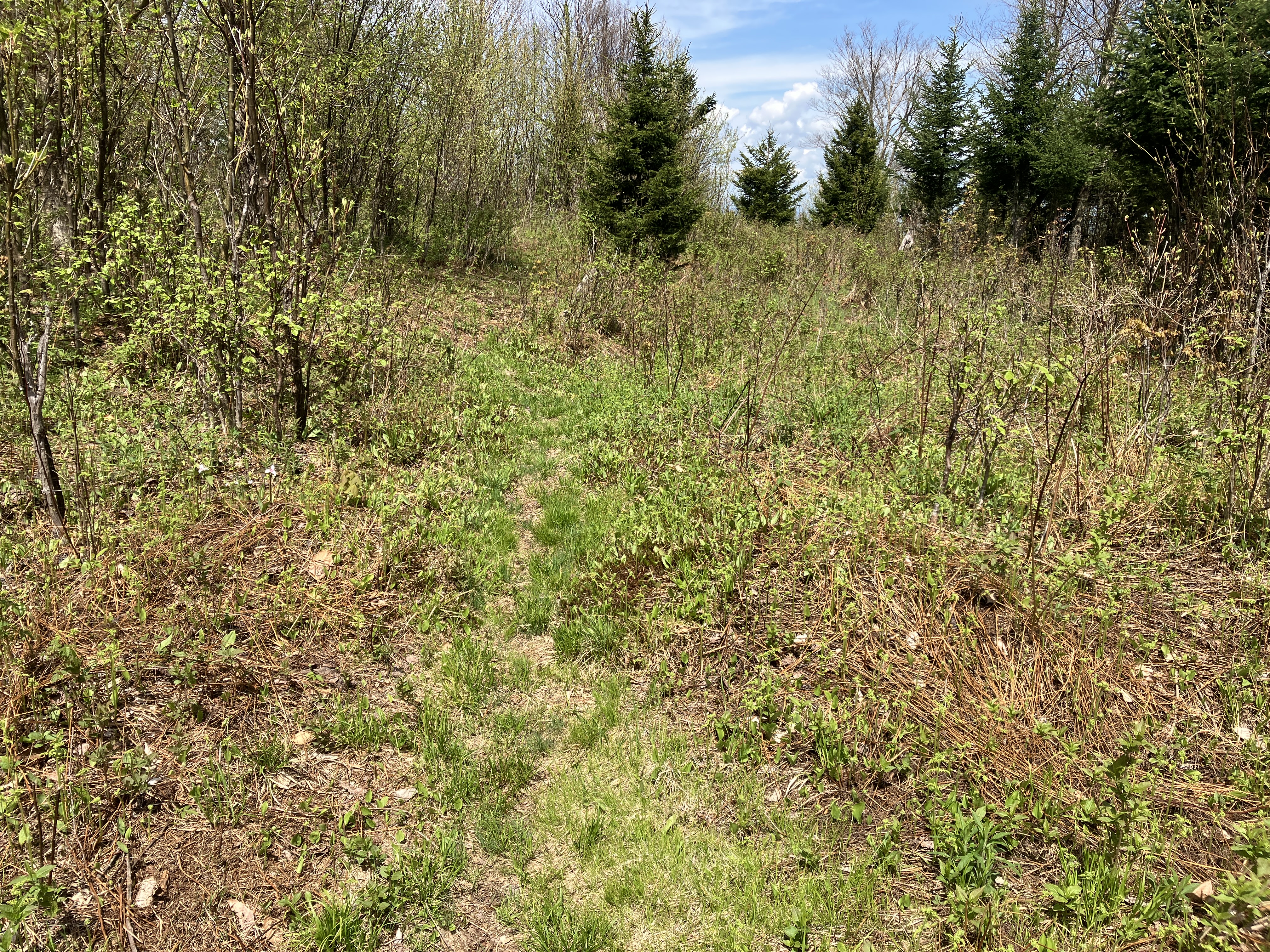
Approaching Cooley Hill, the trail re-enters the CJCF and winds through an open brushy area logged by the previous owner a couple of decades ago. One must follow the trail carefully through here.
A mile beyond the Red Trail junction, the Yellow Trail arrives at the remains of the fire tower that once stood near the summit of Cooley Hill. It was built in 1939 by men from the nearby Wildwood CCC Camp, due to high fire danger after the 1938 hurricane. The tower was 40 feet high with an observation platform. It was in use until 1948, and was dismantled in the late 1950s.
After finding a geocache, I descended 0.1 mile on Jericho Road Trail to an unmarked spur that leads to a partial viewpoint. The view was better than I remembered from my last visit in 2016. Nice spot for a lunch break.
Kinsmans.
Cannon, Lafayette & Lincoln.
Heading back on the Yellow Trail. In a short distance I made a quick side trip to the true summit of Cooley Hill (2485 ft.), which was named after a family that settled in the area around 1802.
Partway along the ridge I dropped down through spruce forest to visit an off-trail ledge I'd been to twice before.
There is some rugged terrain on the east side of the ridge.
The final approach to the ledge is a little precarious.
And prickly.
Just as I reached the ledge, which is quite a dramatic perch, a prolonged heavy shower moved in, obscuring the stellar view of the Kinsmans across the Easton valley.
I waited it out under my umbrella, and after a while was rewarded with an improving view.
Eventually the sun returned and lit up the valley and most of the mountain.
Closer look. The ledges on the west shoulder of North Kinsman, which I visited last year, were clearly visible.
Before heading back to the trail, I dropped down to visit the cool cave behind the ledge.
A nifty hideaway. Probably should have sheltered here during the shower.
View from the cave.
Climbing back out.
Fairly fresh moose poop on the Yellow Trail.
Back to the fern glade.
Heading up to Cole Hill via the Red Trail.
A nice spruce woods climb.
A passage through mossy ledges.
Near the summit a side path leads down to a vista.
For your viewing pleasure.
A very nice view here.
Twins, Garfield, Lafayette, Cannon and Lincoln.
I waited out another long shower here, and was rewarded with a partial rainbow next to the Kinsmans.
Summit sign.
The showers continued as I descended the north section of Red Trail and the longer western part of Blue Loop. The footing was poor on the upper part of the descent with numerous slippery ledges.
And plenty of mud.
The rain had let up again before I reached the big ledge above the trailhead.
Descending to the kiosk at the end of an interesting day on the Cooley Hill-Cole Hill range.


Steve, Jimmy O of Bridgewater,MA now Western N.Carolina. What a gem of a post and place. I particularly enjoyed the shower laced photo of the Kinsmans as well as the rainbow pic. I'm going to check this place out in the fall. I'm expecting an even more amazing delight. Tx again for the enjoyment I get from reading your posts.
ReplyDelete