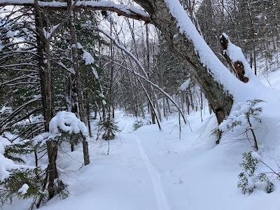
With a month-plus of cold snowy weather, I figured the four crossings of Downes Brook would be pretty well locked in. And they were, with just a couple of sketchy-looking spots. This shows the first crossing, at 0.7 mile.
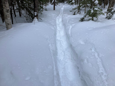
For the two miles of following the old ski track, I broke trail through generally a foot of powder.
Without the old narrow track beneath, I would have been breaking through much more snow than that, and I would not have attempted it. Thanks go to the skiers who went in here before the last few snowfalls.
Following the thin white line.
Into the Wilderness.
A nice hemlock stand between the trail and the brook.
Looking back down a long, gently rising straightaway, following the course of an early 1900s logging road of the Swift River Railroad.
After a bit of bushwhacking, I emerged on the lower open slabs of the slide, with a couple of old tracks from the skiers marking the snow.
These broad ledges remain open more than 130 years after the slide came crashing down off the northern slope of Mt. Passaconaway during a storm in 1892. Around 1900 a trail was cut from the top of the slide to the summit of Passaconaway, and for many years, this was the primary hiking route to that peak from the Albany Intervale. The trail was discontinued by the Forest Service in 1957 due to its at times hazardous footing on the ledges, especially when wet. The route is still occasionally used by experienced bushwhackers, but it is quite obscure in summer and in winter there is very little evidence of the old trail. In winter the low-angle slabs become a vast snowfield, a wonderful place to wander around on snowshoes. Though avalanche danger was considerable this day in the eastern ravines of Mt. Washington, that was not a concern on these 17 to 20 degree slopes.
I meandered over to a corner for a peek up at the northern crags of Mt. Passaconaway.
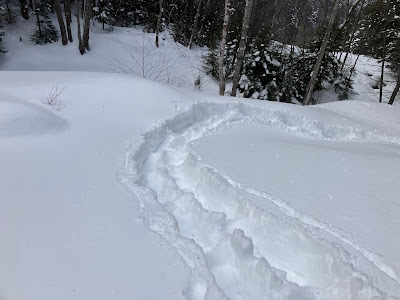
Making tracks in the deep snow atop the slabs.
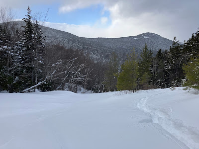
Looking across the Downes Brook valley to Potash Mountain, partly obscured by persistent flurries.
Presumably due to its age and its low elevation (2,100 ft. at this spot), the Downes Brook Slide is home to more white pines than I've seen on any other White Mountain slide. This exposed youngster is one of the smaller specimens, but along the edges of the slabs there are many good-sized pines.
A small cascade, frozen and buried.
Higher up on the slabs, the view includes trailless "South Potash" on the left.
A beautiful spruce forest borders the east side of the slide.
Peering down from the top of the cascade.
Deep snow on the next set of ledges.
Just above is another cascade, with pool.
Above that cascade is another large slab. At the top, hidden under the snow, is an iron ring bolted into the rock, used to lower loggers' horse teams down into the woods during the days of the Swift River Railroad (1906-1916).
Such a fun route to snowshoe!
The ledges go onward and upward.
A switchback lifted me up through this cascade.
Yup, it's deep out here.
Due to a late start and slow trail-breaking, this ledge at 2400 ft. was my turnaround point on the slide.
It has an excellent view up to the northern crags of Passaconaway, where the old trail popped out to a viewpoint at the top of a long, extremely steep climb through the woods. That viewpoint is still accessed by a 0.3 mile side trail down from the Walden Trail near the mountain's summit. It is the best vantage point on Passaconaway and is well worth the effort to visit.
Heading back down.
Last look back from the lower slabs.


No comments:
Post a Comment