A trek deep into the Sabbaday Brook valley with Cath Goodwin to visit the big slide on the northeastern flank of West Sleeper, unleashed by Tropical Storm Irene in 2011. This was my fourth journey out there to view this impressive display of nature's power, a scene of both desolation and beauty.
We opted to avoid the three big stream crossings on Sabbaday Brook Trail by using a bushwhack route Ray "Jazzbo" Caron and I had followed last winter on a trip in to the slide. The key to this route is a century-old logging road that Ray spotted on a Lidar hillshade image. This road dates back at least to the days of the Swift River Railroad (1906-1916) and was noted in the 1916 edition of the AMC White Mountain Guide. The section shown here slabs the lower slope of Potash Mountain through conifer forest, high above Sabbaday Brook.
Farther along, the road breaks out into open hardwood forest. There was a surprising amount of granular snow - at least a foot - in the lower part of the valley, making for slow going.
We joined the Sabbaday Brook Trail more than a mile up the valley and soon entered the Sandwich Range Wilderness. There was a nice well-packed snowshoe track on the trail - thanks go to those who broke it out.
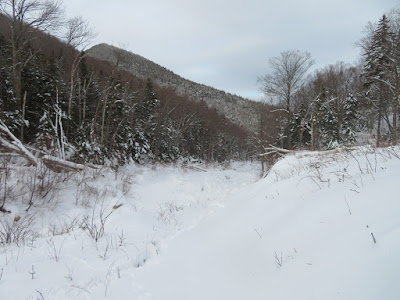
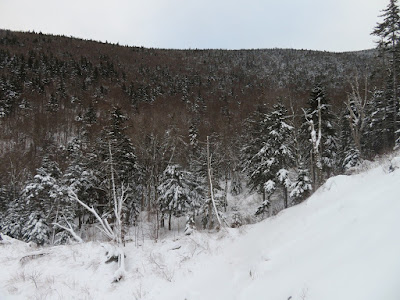
Wintry beauty abounded, thanks to recent snowfalls.
One of the larger beech trees in the valley.
We left the trail about three miles up the valley, at the site of the Monahan logging camp of the Swift River Railroad. This bent sled runner is on display beside the trail.
We started out following another old logging road, with West Sleeper seen in the distance.
Open woods as we traverse towards the drainage of the major tributary that hosts the slide.
Christmas card trees surround a hobblebush dance team.
The low January sun peeks through an inviting glade.
Snow depths had increased dramatically during the previous week.
Cath, who floats over the snow like Legolas the elf, leads the way through an open yellow birch glade.
Picture-perfect valley.
The first sign of the slide is the tangle of trees it swept down the brookbed a decade ago.
Moose sign!
Beyond the tree carnage, the brookbed is a wide open slide track, a marvelous route for approaching the slide itself.
Looking ahead to snow-crusted Sleeper Ridge.
There's no snow drought out here!
Our guess was bobcat.
Cath ascending the open bank across from the base of the slide, which slammed into the streambed at a right angle.
First view of the slide!
Spruce traps told a tale of revegetation underway at the base of the slide.
Head-on view.
The Fool Killer in sight downstream.
In the gully at the base of the slide.
Climbing to a shelf below the widest expanse of the slide.
A tiny figure in a massive slidescape.
We climbed a short way up for the view, which is widest on the lower part of the slide. The snow was not nearly as deep on the slide itself. Cath assessed the snow conditions as safe for our partial ascent. It would be a different story if a heavy layer of new snow were deposited atop the surface crust. Slides can avalanche - last weekend a hiker on a slide on Saddleback Mountain in the Adirondacks was knocked over by a small avalanche that buried his gear under four feet of snow.
View out to the northeast.
Taking it in.
Zoom on distant Carter Dome.
Potash Mountain (left) and "South Potash" (right).
The Baldfaces beyond Potash.
Sleeper Ridge, close at hand, in the heart of the Sandwich Range.
Swooping down.
Heading back down the valley below the slide. The lower bushwhack back to the Kanc Highway was accomplished by headlamp, easy enough with our snowshoe tracks to follow.


No comments:
Post a Comment