
Dry summer conditions are ideal for visiting slides, and one of the major ones I had yet to visit in the Sandwich Range/Osceola/Scar Ridge group of mountains was a rather hidden slide well up a drainage on the NW side of the peak known as Middle Scar Ridge. My slide bushwhacking buddy Mark Klim and I had started up towards it a couple of years ago, but I wasn't feeling it that day for a long whack, and one of Mark's boots blew out, so we retreated. This seemed like a good time for a second attempt. Unfortunately, due to recent knee surgery Mark could not join me. I knew the whack would be long and scrappy, and I was not disappointed in that regard. But the scenery at the slide was exceptional.
I parked at the Discovery trailhead on the Kanc Highway and bushwhacked down to the Hancock Branch. The crossing was a pretty easy rock hop with the low water conditions.

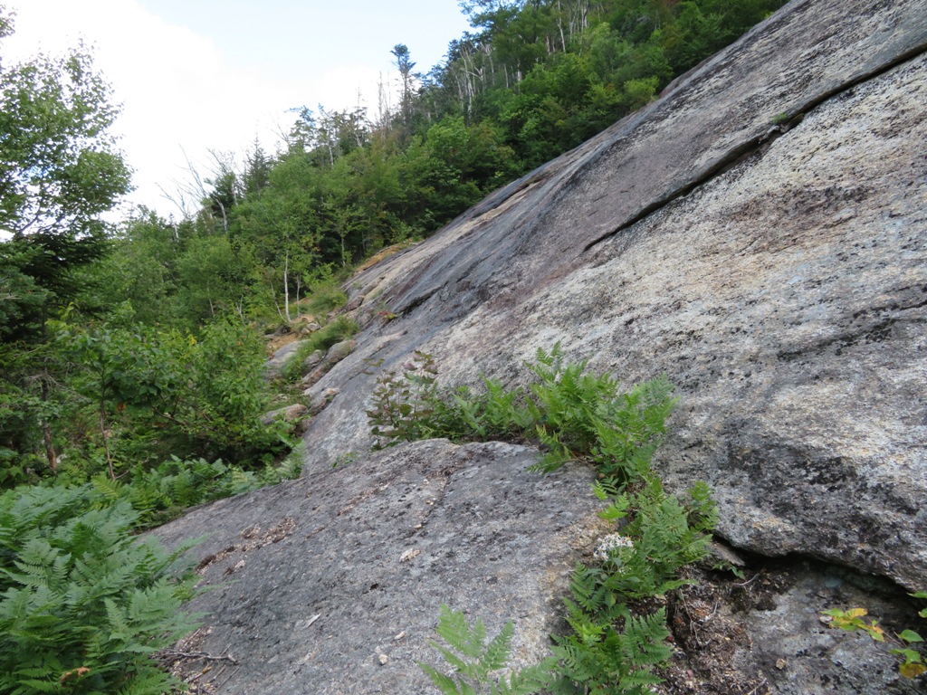
I headed a short distance up the brook that drains the slide's valley to a ledgy cascade that Mark and I had visited on our failed attempt.

The Middle Scar Ridge slide most likely fell during the great September 1938 hurricane, which triggered a number of slides across the Whites. The track of the slide looks fresh in this 1939 aerial photo from the USGS Earth Explorer website. The swath of the cascade can be seen at the lower left, just above where the slide track drops into the Hancock Branch.

On the lower part of the bushwhack I enjoyed some open woods, but I knew this wouldn't last.

I came across what appeared to be an old sled road from the Hancock Branch operation of J.E. Henry's East Branch and Lincoln Railroad, dating back to the 1890s.

Soon enough the woods became sprucey and prickly with plenty of blowdown.

This big old white pine escaped the lumberman's axe.

Most of the rest of the whack featured constant pushing through scratchy spruce branches.

I got into some bad terrain while attempting to slab back down to the brook from the ridge I had been following on the west side. One area was especially slow going with blowdowns, young conifers, big rocks and deep holes. It looked pretty good on the map...

Trapped!

I was very happy to get down to the brook, which provided an open corridor through the clinging conifers. The rocky bed was dry at first....

...and then transitioned back to a flowing stream. This was a pleasant part of the bushwhack, on and off the brook in a quiet, remote valley.

A neat flat area in a broad part of the valley.

A meeting of brookbeds: the main valley stream on the right, the track from the slide on the left.

Following the old slide track up.

Reaching the bottom of the slide. The lower section is a steep swath of gravel and loose rock.


Heading up along the edge on a swath of loose rock.

First views out towards the western Pemi Wilderness: Franconia Range and Owl's Head.

The upper part of the slide is a huge slab of ledge.

Sort of a Scar Ridge version of Franconia Ridge's Shining Rock.

I wasn't sure this slab would be at all accessible, as it looks ominous when seen from afar and on Google Earth. But the bottom edge turned out to be a friendly place, with a comfortable shelf and some nice greenery (which I avoided trampling by walking on the bare ledge).
Luxurious tufts of grass colonizing the edge.

An impressive expanse of rock!

Looking back across the face.

Between the slab and the gravel swath below was a garden featuring meadowsweet, ferns, and clumps of small birches.

I grabbed a rock seat and stayed a while, admiring the sweeping view into the western Pemi.

A fine angle on the Franconia Range.

The trough of the Franconia Brook valley, between Owl's Head and South Twin.

Mt. Garfield peeking over behind Owl's Head.

Garfield's rocky crown.

It was tempting to scramble up the dry slab, but footholds and shelves that look good from below are not so comfortable coming back down.

Instead, I made my way across to the far edge, peering down the gravel chute that connects the two parts of the slide.

Definitely not going up this.

Looking up at the mass of the main Scar Ridge summit.

I used a safer route through the steep woods along the edge of the slab and emerged at a moderately sloping area near the top.

An interesting cliff on a shoulder of the main Scar Ridge peak.

A steep headwall ledge guards the top of the slide.

It was comfortable enough to hang out up here for a while.

An even better Pemi vista at the top, including the Bonds on the right.

Zoom on West Bond, with the "Guitar Slide" on the left and a new slide from the 2017 Halloween storm on the right.

Partway back down along the edge, I could see the summit of Middle Scar peeking over a shoulder, beneath ominous clouds.

Descending alongside the bright gravel swath.

Careful foot placement required.

For the descent down the valley, I followed the brook closely rather than climb back through the nasty area I had come down through off the western ridge. The canyon-like terrain necessitated frequent crossings of the brook, back and forth, seeking the best travelway.

Looking back up a straightaway on the brook.

I was pleased to find a short stretch of open going in hemlock forest low down on the eastern side. I remembered this from the previous attempt, which ended not far above here. Overall, this ridge might have been better than the western ridge I tried on the way up.

After hours of being slapped, poked, stabbed and tripped, the Hancock Branch was a welcome sight!

The Middle Scar Ridge slide on Google Earth.

Ha, thought the view in "First views out towards the western Pemi Wilderness: Franconia Range and Owl's Head" looked familiar (Brian and Joe in front).
ReplyDeletehttps://saltynh.smugmug.com/Hiking2010/Loon-Scar-Middle-Scar-17-OCT/i-mdqmqQq/A
We hit the slide by surprise, but I think we stuck to the ridge on our way out after a traverse from Loon (absolutely nasty from eastern bump of the main Scar Ridge peak the the col with Middle). For some reason my notes are skimpy after that. :-)
Hi Mike, I remembered seeing your report on that trip some time ago but couldn't find it recently. I really enjoyed the upper part of that slide, a great place to hang out and much friendlier than I expected. I always thought it looked kind of ominous. I would go back to that one, maybe try the ridge on the east side of the brook next time.
Delete