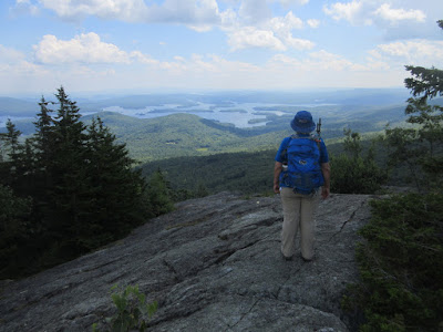
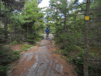
On a warm sunny day, Carol and I enjoyed a leisurely geocaching hike on the classic loop over Mt. Percival and Mt. Morgan in the Squam Range. The trails were surprisingly quiet for August.
One of the geocaches we found was in a hole in this tree, which had its own little guardian. (The cache hole was several feet below the chipmunk.) Overall we found 12 of the 13 caches on the loop.
A steep pitch on the Mount Percival Trail.
Crazy terrain in the Percival caves area.
Welcome to the cave!
The other end of the cave. There's a tight and strenuous squeeze at either end. I went through and then back again in an unsuccessful search for a cache.
In the land of giants.
Ascending steep ledges near the top of the Mount Percival Trail.
Looking south down the Squam Range to The Sawtooth and Mt. Webster.
The open ledges at the summit of Percival, overlooking Squam Lake.
Summit signs.
Hazy view north to Sandwich Dome and Mt. Whiteface.
Carol takes in the view before we head across to Mt. Morgan.
On the wonderful Crawford-Ridgepole Trail.
A wooded bump called The Sawtooth is the high point of the Squam Range, reached by a short bushwhack.
Survey marker at the true summit of Mt. Morgan, where views are very limited. This was likely from Bradford Washburn's survey when he was making a detailed map of the Squam Range.
Atop the summit cliffs of Mt. Morgan, looking towards the Ossipee Range and Red Hill.
Looking south to Mt. Webster.
Carol takes in the Squam Lake vista.
Parting shot.
Squam Lakes Association trail signs.
A peek at the ladder route on Mt. Morgan, which we did not do. That one is definitely better going up rather than down! The highly rewarding Percival-Morgan loop -- using the Mt. Morgan Trail, Morse Trail, Mt. Percival Trail, Crawford-Ridgepole Trail and Mt. Morgan Trail -- is about 5 1/2 miles with about 1600 ft. of elevation gain.


No comments:
Post a Comment