
OSCEOLA BROOK SLIDES: 3/6/17
It was a gorgeous day - sunny and starting out cold but rising into the 30s - for a scrappy bushwhack up the Osceola Brook ravine with Mark Klim. Our ultimate objective was to visit two slides that fell at the head of the ravine during Hurricane Carol in 1954. The pair of slides - a larger western one and a narrow eastern one - can be seen in the center of this photo of Mt. Osceola taken from Noon Peak.

The summit ledge on Mt. Osceola overlooks the wild Osceola Brook valley; part of the western slide can be seen at the lower left.

As I had with Carol three days earlier, we approached from the Livermore trailhead via Tripoli Road and passed through the Osceola Vista Campground, then bushwhacked northward to the west side of Osceola Brook, using Waterville XC trails only to cross two streams on bridges.

It was amazing to see how much the cold snap iced up Osceola Brook in the three days since I was here with Carol. Rocks and ledges were visible here on the first trip.

The "Osceola Flume," which Carol and I saw on the first trip.

Pausing on a brookside ledge.

There was more ice here, also.

We paid a visit to the cascades once known as Osceola Rapids.

Looking downstream from the top of the Rapids.

This pool was especially striking this day.

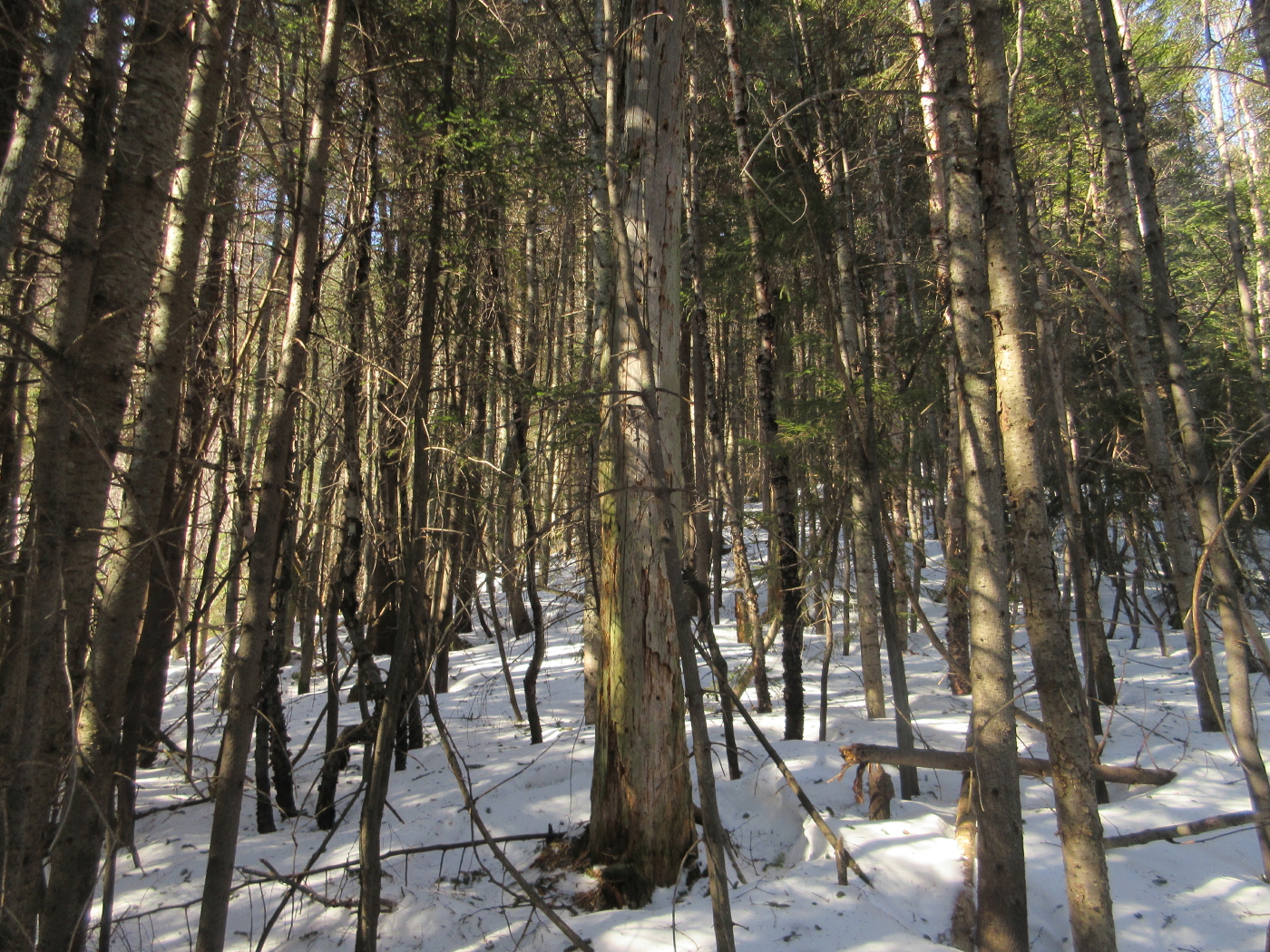
One of the few spots of open woods we enjoyed above the Rapids.

To get around a sidehill slope, we climbed up to and followed an old logging road thickly grown with young spruces.

The crusty snow was great for bushwhacking, except it made for strenuous snowshoeing on the valley sidehills.

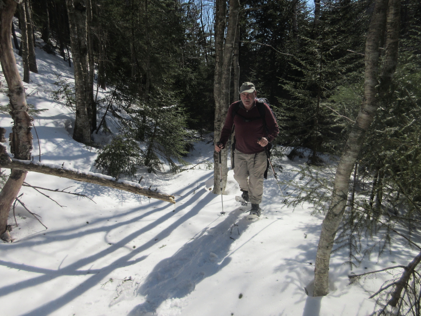
Mark checks the map. Long way to go.

A glimpse of a rugged Osceola ridge.

At one spot the main summit came into view.

One of many brook vignettes we enjoyed.

A very tough sidehill rose ahead on the west bank. We had to cross to the east bank to keep going up the valley - a challenge typical of bushwhacking along a stream.

Making the crossing on icy rocks.

It would have been mighty tough going on that side.

Snow-cone boulder.

A long view upstream to the valley headwall.

A lunch spot in the warm March sun.

This steep slope is a gravel bank in summer. It was scoured out by the 1954 slides.

Our one birch glade - about 50 feet long - amidst a mile of scrappy woods. We both got a bit scratched up on this whack.

Mark enjoys our brief respite from squeezing between small conifers.
Another sidehill ahead, so we crossed back to the west side.

Where the runouts from the two slides meet, forming Osceola Brook.

We ascended a ridge between the two slides. The woods here were mostly thick but there was one more open stretch.
A downhill/sidehill tussle through frustrating grabby conifers brought us close to the edge of the big western slide, and a view out towards Sandwich Dome.


It was quite impressive looking a hundred feet across these steep, ice-draped slabs.

I worked down a bit for a clearer view of Sandwich Dome.

Steep slopes with slippery wet snow atop hard crust made it unwise to go down to the edge of the slide on snowshoes, so we settled for a screened look up the slide to Osceola's summit.

The big view ledge could be seen towards the right end of the summit crest.

Descending the ridge between the slides.

Partway down we popped out onto the narrow eastern slide, which was buried in compacted snow and made for a great snowshoe descent.

Descending towards Sandwich Dome.

Looking back up the slide.

Approaching a banked turn in the slide.

We appreciated this snowy highway as an alternative to pushing through close-growing small conifers on the ridge above.

Could be a nice ski run, but it's a long way in.

Just above the point where the two slides meet, a third brookbed/small slide joins from the left.

Looking down Osceola Brook from the meeting of the slides.

Typical woods in the upper valley. I used sunglasses, and later goggles, for eye protection.

The gravel banks farther down the valley are revegetating.

Looking upstream at the headwall.

More sidehilling.

Looking downstream by the Dairy Queen boulder.

Last look at the summit.

GPS track up the valley.

GPS track at the slides.

No comments:
Post a Comment