
MOUNT MOOSILAUKE LOOP: 7/29/14
A return to this favorite mountain, enjoying an "outer loop" along the Ridge Trail, Beaver Brook Trail, Carriage Road and lower Hurricane Trail. Along the way I visited the four Trailwrights 4000-footers on the Moose: Jim, Blue, main summit and South Peak.
At the end of Ravine Lodge Road I could see that the summit was in the clouds, and it remained in and out until mid-afternoon. I made a very leisurely ascent in the hopes that the clouds would clear and the summit would be quiet late in the day. It paid off on both counts.

The railing on this bridge over the Baker River had been repaired since I came here to hike the Al Merrill Loop a couple of weeks earlier.

Neat meadowy spot along the lower Ridge Trail.

Serious washout from the late June cloudburst that dumped 7 inches of rain in Kinsman Notch.

Bed frame at the site of Parker-Young logging camp #3 along the Ridge Trail.

The Baker was rocking after heavy rain the night before.

The Ridge Trail is a quiet and lovely route to the upper ridges of the Moose. This section is along the slope of Mt. Waternomee.

I called this shoulder of Mt. Jim the "Emerald Plateau."

The wooded summit of Mt. Jim is not completely viewless.

High point of the trail on the flat summit of Jim; the apparent true summit is just a few yards off the trail via a herd path.

Mt. Blue in sight ahead from a fir wave.

Rough and rocky footing on the Beaver Brook Trail along the rim of Jobildunk Ravine.

A peek down into Jobildunk Ravine from Beaver Brook Trail. Last winter I joined friends John and Chris for a memorable snowshoe adventure into the floor of the ravine, including a visit to the beaver pond seen here.

Layers of mountains to the southeast.

I followed the soft, well-worn, meandering herd path to the summit of Mt. Blue. Up there are some wonderful glades of old balsam firs.

Emerging above treeline on the main summit, I found lots of the hardy Mountain Sandwort along the trail.

Long Pond and Black Mountain from the north end of Moosilauke's open summit ridge.

The Hancocks and Mt. Carrigain loom large beyond Lincoln, location of our home and store. Festivities marking the town's 250th Anniversary are going on all this week.

A lone hiker makes his way up the north ridge.

Mt. Blue and the Franconia Range, with the cloud deck hanging above the summit.

Hiker and newly-rebuilt cairns, replacing some that were vandalized last winter.

Long view to the west; several Adirondack peaks were visible 90-100 miles away.

Sugarloaf in the Benton Range, the Signal Mountain Range, and Camel's Hump on the horizon.

The Kinsmans and Franconia Ridge.

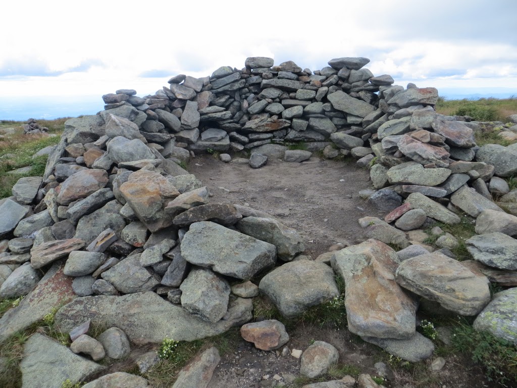
Shelter from the storm.
The summit, where the only other hiker was the Dartmouth Outing Club alpine steward. She headed down after a while, and I had the place to myself, in the middle of summer, with unlimited views.

New summit sign, replacing the one stolen last winter.

Obligatory summit benchmark photo.

Looking towards South Peak, my next objective.

The flat expanse of East Peak, with the vast view beyond. There's no better mountain to be atop on a crystal-clear day.

Heading south on the Carriage Road.

Alpine tundra.

Finely-built cairns.

A view to the DOC Ravine Lodge, far down in the valley.

More new signs at the Carriage Road/Glencliff Trail junction, where the signs were also stolen by vandals last winter. Thanks DOC!

The main summit from South Peak side trail.

The classic South Peak view of Tunnel Brook Notch with the slides of Mt. Clough.

Mud Pond and its nameless beaver pond neighbors.

Two common themes on Moosilauke - a slide and fir waves.

Walking into the views coming down the Carriage Road.

The collapsed remains of the old DOC Wadchu Shelter near Carriage Road. This was built in 1935 at the top of the famed Hell's Highway ski trail.

The footing on the Carriage Road is markedly better below the junction with Snapper Trail, where most of the traffic turns off.

Fading daylight, but I had to squeeze in a photo of the "Hardwood Cathedral" along the Carriage Road below 2800 ft.

Delightful birch-lined walking along the lower Hurricane Trail, which follows an old road back towards Ravine Lodge with an abrupt little climb at the end. Just after joining Gorge Brook Trail, I made a short side trip to see the Class of '97 Swimming Hole on the Baker River. I made it out without resorting to the headlamp, wrapping up another great day on the Moose.

Steve, your report provides a most delightful tour of the wide variety of distant and trailside views that are available from Mt. Moosilauke's summit and from the vast network of trails associated with this mountain. And to top it off, this 'tour' is expertly narrated by you who is someone with more knowledge of the Mt. Moosilauke region than anyone I know. And most likely, more than anyone . . . period! :-)
ReplyDeleteLastly, thanks for the fond memories of our epic winter trek into the Jobildunk Ravine.
John
Thank you for your kind comments, John. Moosilauke is certainly one of the most interesting and rewarding mountains in the Whites. Our trek into Jobildunk is one of the best memories, for sure.
DeleteSteve