
MOUNT WASHINGTON, JEWELL-AMMONOOSUC LOOP: 9/18/13
My original plan was to hike the Kinsmans, but the spectacular clear weather, with 120-mile visibility reported by the Mount Washington Observatory, cried out for a day above treeline. So on the drive I changed plans and headed for the Ammonoosuc Ravine/Jewell trailhead on the Cog Railway Road, planning to hike either Mt. Clay or Mt. Washington. I headed up the Jewell Trail, which has nice moderate grades and generally good footing until you get to treeline, where it becomes considerably rockier.

The trail crosses the Ammonoosuc River on a bridge shortly after leaving the Cog road.

Jewell is a pleasure to climb, and is well-kept by its volunteer adopters, John Gutowski and June Rogier.

First view of the Southern Presidentials from a blowdown patch at 3600 ft.

The trail reaches treeline at 4600 ft. Yup, it sure is clear today!

Southern Presys from upper Jewell Trail.

A group descending the trail after staying at Mizpah and Lakes Huts. These were the first hikers I met today.

A quartz outcrop shining in the sun.

Looking across at the summit of Mt. Clay.

The Jewell-Gulfside Trail junction at 5400 ft.

I decided to skip the scramble up Mt. Clay and head directly for Big George. The Gulfside Trail was very quiet at this point, but got busier as I approached the summit.

A Cog car and Mt. Monroe.

The broad, sedgy col between Mt. Clay and Mt. Washington. Shortly after crossing the col, I met hiking friend Candace Morrison by the Westside Trail junction. She had come up the Caps Ridge Trail, traversed to the summit of Washington, had lunch in the cafeteria, and was heading back across the ridge.

The most spectacular section of the Gulfside Trail runs along the rim of the Great Gulf headwall -- hence the name.

Great Gulf view #1, with Mts. Jefferson, Adams and Madison all in a row, and tiny Spaulding Lake far below on the floor of the cirque.

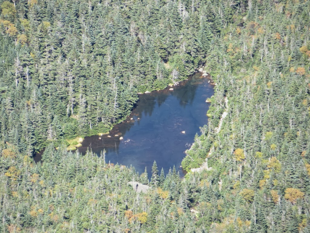
A zoom on Spaulding Lake, which at 4200 ft. is higher than a number of 4000-footer summits.
Great Gulf view #2.

Two hikers pause to admire the vista.

Great Gulf view #3, showing more of the steep face of Mt. Clay.

Junction with the Great Gulf Trail. I went a few yards down it to set foot in the Great Gulf Wilderness.

One of the brightly colored Cog cars went by where the Gulfside crosses the tracks.

Turning onto the Trinity Heights Connector for the final push to the summit.

This short but rocky trail is part of the Appalachian Trail loop over the summit.

A crowd on the summit high point, normal on a clear sunny day.

Mt. Jefferson with North Country mountains beyond: South and North Weeks in the first row, then Cabot/Bulge/Horn, with the Nash Stream mountains in the distance.

Endless ridges roll out to the west. I spent a long time studying the view from an outcrop just NW of the summit high point, next to the Tip-Top House. Because of buildings and antennas, there's no one spot where you can take in Washington's 360-degree view; you have to move around to piece it together. Distant peaks (all more than 100 mi. away) visible this day included NH's Monadnock, Coburn Mtn. and Camden Hills in Maine, Dorset, Stratton and Snow in southern VT, Mont Ham in Quebec, and Giant, Cascade, Hurricane, Whiteface and Esther in the Adirondacks. Not to mention 43 NH 4K peaks, all the Vermont 4Ks, and several more in Maine. The most difficult NH 4000-footer to spot is West Bond, a pinprick over the shoulder of Mt. Bond that is visible only in the right light.

On the observation deck of the Sherman Adams building.

During a break in the action, I was able to visit the summit outcrop.

Summit benchmark, well-weathered.

The Crawford Path route to the summit outcrop. After visiting there, I went inside the Adams building for a hot dog & soda and said hi to Guy Jubinville, an avid hiker who was working the desk for Mt. Washington State Park.

Summit landmarks.

Where the Crawford Path leaves the summit area.

Best part of the day - leaving the summit hubbub behind, descending Crawford Path towards Lakes of the Clouds in late afternoon sun with what I feel are the finest views of the loop.

Dry River valley and Montalban Ridge, Sandwich Range in the distance.

Mt. Monroe and Lakes of the Clouds.

Upper Lake of the Clouds and Mt. Washington.

Lower Lake of the Clouds, looking like a tarn in the Highlands of Scotland.

Starting down the Ammonoosuc Ravine Trail, looking back up at Lakes of the Clouds Hut. This was its last week open for this season.

Looking across Ammonoosuc Ravine.

The Ammy, as it's fondly called, is a tough trail to descend, very steep with many slippery ledges. But it's also a very scenic route with a number of cascades to admire.

Late sun lighting up the steep, rocky trail.

The left of the two high cascades that can be seen on the "Gorge"side path at 3750 ft.

The other cascade at the "Gorge."

Gem Pool, at the bottom of the steep descent.

Alpenglow along the lower part of the trail.

A view up to the ravine headwall opened up by a 2010 avalanche. Since darkness was falling, I followed the old spur trail out to the Cog Railway Base Station. I emerged in the Cog parking lot to see a near-full moon rising over the twinkling lights of the Lakes hut, then strolled down the moonlit road to the WMNF hiker's parking lot, ending a grand late summer day on Washington.

Thank you Steve, it is a nice loop. You give me an idea for a future hike.
ReplyDeleteThank you, Yvon - it's a great trip on a nice day.
DeleteSteve
Hawk and I hiked it the same day but in the opposite loop. Great hike and day. Looks like the high chaparral out west.
ReplyDeleteThe Giants
Thanks for your comment! It was a great day indeed. Agreed, it's as close as we get to western scenery in the Whites.
DeleteSteve