Friday, December 11, 2020

The Scaur: 12/10/20

In the short days of December, a 1:30 pm start limits your options, so I chose a longtime favorite, the 4-mile round trip via the Livermore Trail and Kettles Path to The Scaur, a ledgy nubble with a wide view over the Waterville Valley backcountry.

Snowy scenery abounded on the Kettles Path, a pleasant meandering footway dating back to 1890.


Peering down into the deepest of the three "Kettles," rounded depressions in the landscape created when chunks of ice were stranded amidst outwash deposits in the wake of the retreating glacier. When the ice chunks melted, these hollows remained.


Wintry and wondrous.


Tenacity.


Reaching for that bluebird sky.


Ice and sun.


The climb up the back side of The Scaur is short but steep. Spikes went on for this.


Though there was a cold wind in the dark woods on the north side, the south-facing ledges of The Scaur were sunny, wind-free and comfortable.


Peering down to the hardwood forest below, with the Lost Pass area, Snows Mountain and Sandwich Mountain in the distance. 


 After the sun dropped behind a cloud, the view opened up towards Mt. Tecumseh.

From a spot on the west side, East Osceola and the Painted Cliff.


Looking out to Thornton Gap, with West Tecumseh on the left and Mt. Osceola and its various southern ridges to the right.


The top of the big southwest slide just peeks over.
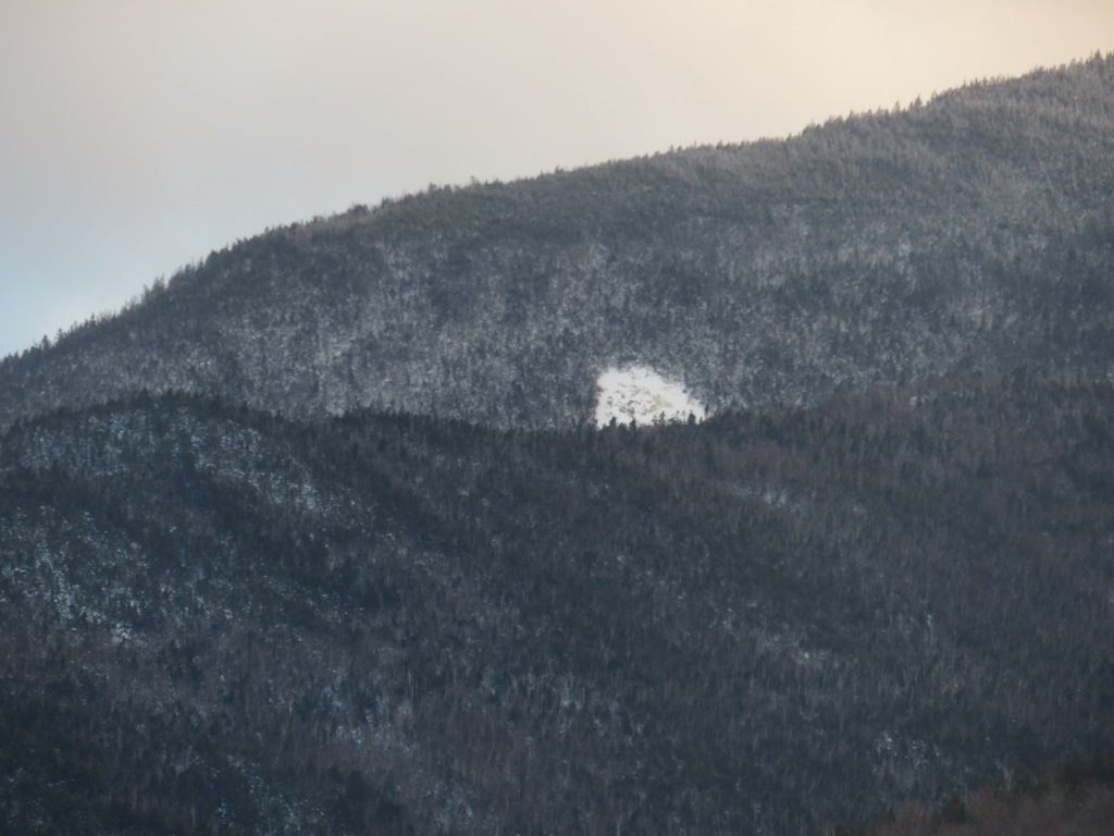

Southward view to Sandwich Mountain with sunset drawing on.

I bushwhacked down through the snowy hardwoods to create a loop, pausing to admire this favorite towering maple at the base of The Scaur's cliffs.

Heading down through the hardwoods.


Wednesday, December 9, 2020

Snowshoeing South of Osceola: 12/8/20

The recent storm left varying amount of snow across the mountains, increasing with elevation. I figured I might be able to get in the season's first snowshoe outing at Waterville Valley, and I was not disappointed. Snow depths were just a few inches at the Livermore trailhead, but increased to 10 inches at 2400 ft.

A number of folks were out skiing and walking the Waterville Valley X-C ski trails, though the system was not officially open yet (trail fee required in-season). I headed up to the trails at the north end, starting on Tripoli Road and passing through Osceola Vista Campground, where I could see that the summit of Mt. Osceola was socked in, though the big southwest slide was visible.


There was a fuzzy glimpse of North Tripyramid.


Wintry beauty was found on the north end X-C ski trails.


First snowshoe tracks of the season.


The clearing and picnic table at the end of the Upper Osceola trail.

Heading into the woods for a bushwhack along the stream that drains from the southwest slide.

Snow-caked trees mean powdery loads dumped on your back.

Not far in there is a remarkable boulder train presumably deposited by the southwest slide, which was unleashed by Hurricane Carol in 1954.


Not going that way.


The brook that drains from the slide.

Winding up through open hardwoods on the slope west of the brook, onto the south ridge of Mt. Osceola.

Following an old sled road for a bit.

I visited a favorite open glade of sugar maples, studded with granite boulders.

The champion tree of the glade.


Snow depth about 10 inches here.


A small pool in the forest.


A wonderful place to make tracks.


Could this corridor be part of the old trail to Osceola, which ascended this ridge? It was originally opened by Nathaniel Greeley in the 1850s. Parts on the lower slopes were later relocated due to logging. It was abandoned in the late 1930s.


Squid tree.


Ledgy spot on the brook draining from the southwest slide. In a 1964 aerial photo, a large open swath of slide rubble occupied this area. The forest has fully reclaimed all but the brook itself.


Friday, December 4, 2020

"Scaur Ravine": 12/3/20


On a fine sunny day I took a stroll up Livermore Trail to the NW side of Mt. Tripyramid, then bushwhacked up the floor of the tributary valley of Avalanche Ravine, which parallels the route of the Scaur Ridge Trail. It's a lovely sunny, open drainage with many old yellow birches overlooking the stream. After taking in the views from a glade on the north side of Scaur Ridge, I descended the always-pleasant Scaur Ridge Trail with its impressive views of Tripyramid's North Slide.

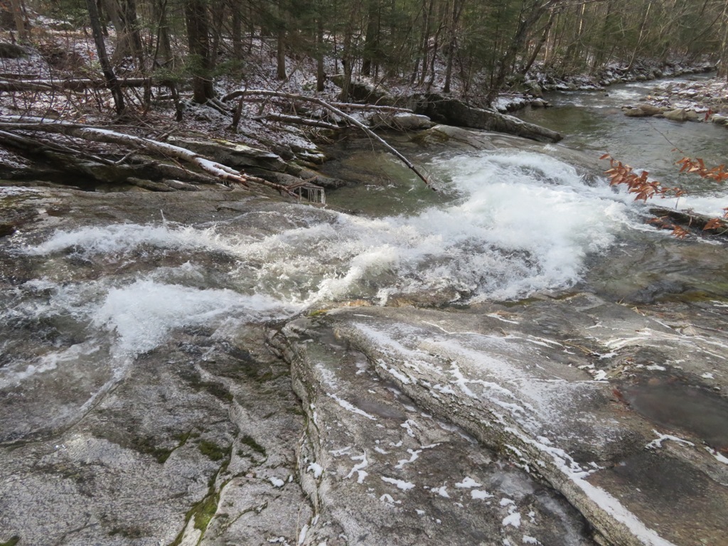
White Cascade on Slide Brook was roaring after heavy rain earlier in the week.


Bare trees and blue sky beckon a hiker onward along Livermore Trail.

A bushwhack alongside Avalanche Brook brought me into the tributary valley. I would follow this stream for ~0.6 mile with an ascent of 600 ft.

A magnificent old leaning yellow birch.

Island in the stream. This brook has no name, and doesn't even get a blue line on the current 7 1/2' USGS Mount Tripyramid quad. It does show up on the old 15' USGS Mount Chocorua quad.


Open corridor.


Guardians.

Triple-trunk.


A picturesque drainage.


The banks close in.


Looking back.


  Final approach to where the Scaur Ridge Trail crosses the brook at 3100 ft. Plenty o' hobblebush here.


Junction on Scaur Ridge.


Mt. Washington seen from an open glade on the north side of Pine Bend Brook Trail.


Mts. Carrigain, Willey and Lowell.


One of the joys of the Scaur Ridge Trail after leaf-fall is the shifting view of North Tripyramid and its great North Slide.

Diminished in size but still impressive 135 years after it came crashing down during a massive rainstorm.


Zoom on the wide top of the slide, a notable viewpoint.


Smooth sailing on the Scaur Ridge Trail.


A fitting entrance to the Sandwich Range Wilderness.


Late afternoon on the Livermore Trail.