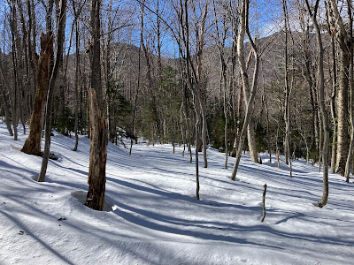
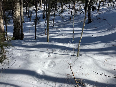
A thaw with some rain followed by a quick re-freeze often sets up firm snow in the woods that is favorable for snowshoe bushwhacking. I hoped this was the case on this sunny, windy morning, and headed over the Kanc Highway for a journey into the Sabbaday Brook valley. The main feature would be a visit to the big 2011 slide on the NE slope of West Sleeper.
I figured that the three big crossings of Sabbaday Brook along the Sabbaday Brook Trail would be non-starters after the thaw, so I used a familiar bushwhack route on the east side of the brook to access the trail beyond the crossings. After dropping down off the highway into the woods on the east side of the bridge over the brook, I immediately had some doubts about the whack. The snow had a firm crust on top but sugary snow beneath if you punched through, which I did a few times at the start in a low-lying area. But once I started climbing the solidity of the crust became more consistent, so the trip was on.
The key to this bushwhack approach is a century-old tote road that runs up the east side of the valley. This was discovered a few years ago by my friend Ray "Jazzbo" Caron, who spotted it on a Lidar hillshade map. After a bit of wandering in which I crossed the road (obscure in a few places) without realizing it, I found it and followed it southward up the valley.
The old road is especially obvious, though overgrown in spots, where it contours the steep west slope of Potash Mountain through dark woods, high above the brook. In the 1916 edition of the AMC White Mountain Guide, this road was noted as part of a possible route for climbing Potash.
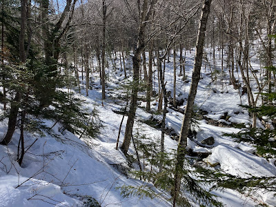
Along the old road, and on the Sabbaday Brook Trail beyond, there were a number of pesky drainages to cross.
The old road breaks out into sunny hardwoods as it approaches the Sabbaday Brook Trail.
I joined the trail just before the Wilderness boundary.
After looking at Sabbaday Brook where the trail runs beside it, I was glad I didn't try to make the three crossings. The snow bridges were gone and slushy new ice was forming.
The trail had a crusty, choppy snowshoe track, peppered with an assortment of hiker and moose postholes. The hardpacked surface made for easy travel on snowshoes, and the postholes were not numerous and were avoidable.
As you head up the valley, The Fool Killer is a constant presence to the right.
Down and up through another side drainage.
I left the trail at the site of the Monahan Camp, used by the lumbermen of the Swift River Railroad in the early 1900s. For a short distance I followed another old tote road left over from those bygone days. West Sleeper and South & Middle Tripyramid could be seen through the trees.
Middle Tripyramid looms at the head of this long valley.
Continuing on the old road.
As I had hoped, the snow was supportive off-trail, providing excellent snowshoe bushwhacking.
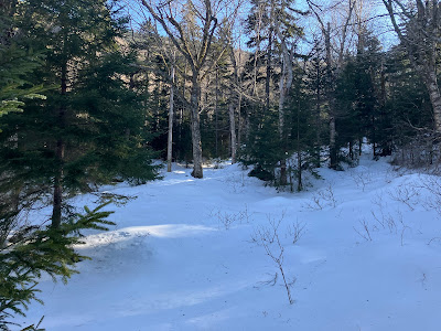
An inviting hardwood glade welcomed me into the side valley that leads up towards the col between East and West Sleeper.
Peering down to the brook that drains the side valley.
Weaving through the hardwoods.
When the big slide fell off West Sleeper into this valley during Tropical Storm Irene in 2011, it carved a swath of destruction for 0.15 mile downstream.
The open swath of the slide track provides a dramatic approach to the base of the slide.
Heading into the sun, with Sleeper Ridge at the head of the valley.
The snow on the track was deep and firm. Wonderful snowshoeing.
Upon arriving at the base of the slide, I climbed up on the high bank of debris on the opposite side, created when the slide slammed into the drainage at a right angle. Scrubby tips poking up from the snowpack shows that revegetation is well underway here.
First view of the slide.
Head-on view. This slide carved a giant wedge out of the forest.
One of many casualties of the slide.
Looking back at The Fool Killer, which, though flat-topped, looks like a sharp peak from this angle.
Above a short rise from the gullied brookbed, the slide pauses in a remarkable flat area.
Making tracks across this plateau.
The next rise of the slide is its steepest pitch, measuring 36 degrees on the Lidar map found on the NH Granit website. The snow on the slide was a rock-solid crust with a styrofoam texture on top, giving good bite for my snowshoe crampons. It was safe to say that avalanche danger on this day was about zero.
Only a short climb is needed to obtain a nice view out to the NE.
I continued up the slide, staying along the left edge for the steepest pitch.
It's a wide one!
Down-look from the top of the steep pitch.
Looking across to Sleeper Ridge.
Looking up.
As I climbed higher, I came across a single tiny white pine along the left edge. This is the first time I've found this species on one of the recent (2011 and 2017) slides. It seems it takes longer for the occasional pine to be seeded in on a slide, compared to the pin cherry, birch, spruce and fir seedlings that sprout up within a couple of years.
A flattish spot beckoned for a late lunch break, about a third of the way up the slide. Because the slide is wider towards the bottom, that's where the best views are.
Another down-look.
It was tempting to go higher, but I was content with stopping here before the slide steepens again. This was my seventh visit to this slide. It's obviously a favorite.
An excellent view from up here.
Mount Tremont (behind the birch tree), Carter Dome, Bartlett Haystack, the Baldfaces, ledgy Potash Mountain, Bear Mountain, pointy "South Potash," Big Attitash, Kearsarge North, and North Moat.
Barely discernible tracks where I went across the slide for a different angle. Going up and going across on the crust were comfortable. Going down gave a sense of exposure on the steep open slope.
Though I had an ice axe with me, I opted to make my descent to the base through the woods alongside the slide.
I really liked this angle from the brush along the edge of the slide.
A beautiful open glade just south of the base of the slide. Cath Goodwin and I wandered through many glades like this on a snowshoe bushwhack up this valley to the Kate Sleeper Trail in the col between the Sleepers in 2007, four years before the slide fell.
No more sun on the slide.
The West Sleeper Christmas tree farm.
Late afternoon light on The Fool Killer.
There goes the sun. Time to head for home.


No comments:
Post a Comment