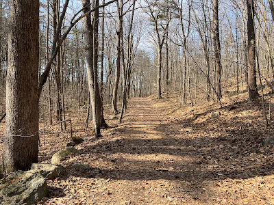
Carol and I headed south on a warm and sunny spring-like day for a geocaching hike around Tower Hill Pond in Auburn and Candia. This 186-acre pond, created by a large dam, is part of the Lake Massabesic watershed. Over 1,900 acres of land around the pond are owned by the Manchester Water Works and are under a conservation easement held by the Society for the Protection of NH Forests. A network of fire roads provides pleasant walking around the pond and through the adjacent woodlands.
I really enjoyed this mellow, bare ground walking after breaking trail through deep, heavy snow the day before on the 1954 Gale River Slide.
Carol takes in the view from the dam at the south end of the pond.
We snagged a dozen geocaches - some of them very challenging puzzle caches (that's Carol's department) - along our meandering five mile walk. Most of them required a bit of bushwhacking through open woods.
One of the caches was located at this neat rocky point on the west shore.
Doing these mini-bushwacks in dry ground hardwood forest kindled a bit of spring fever. Despite the mid-50s temperatures, we saw no ticks, perhaps because it was fairly cold the night before.
Golden late afternoon light along the east side of the pond.
An interesting jumble of boulders on the shore.
The sinking sun illuminates the fading ice.
Manchester Water Works map of Tower Hill Pond. We parked at a trailhead on Tower Hill Road on the southeast side of the map. Neither this map nor the maps on our phones and GPS units showed the trails with complete accuracy, but it was pretty easy to find our way around. During snow season the fire roads become popular snowmobile trails.


No comments:
Post a Comment