On the second day of my spring hiking trifecta, I headed down to the Glencliff area for a climb of Blueberry Mountain, a long-time favorite, and a bushwhack along the ridge towards Jeffers Mountain to indulge in some sweet hardwood wandering.
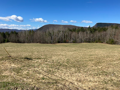
This view of Mount Mist and Webster Slide Mountain from the junction of High St. and Long Pond Rd. held promise for an excellent day.
The 0.7 mile walk up gated Long Pond Rd. was pleasant enough.
This is the southern and shorter (when Long Pond Rd. is open) approach to Blueberry Mountain.
The lower half of the trail, eroded in places, ascends moderately through hardwoods, passing by some old logging cuts.
Into the spruces at 2100 ft.
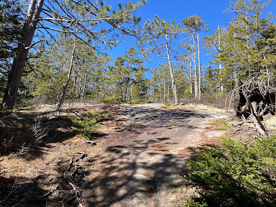
For the last 0.6 mile to the summit, the trail is mostly on gently to moderately inclined granite slabs fringed with red pines.
This climb is pure delight on a dry sunny day.
Higher up the pitch is steeper for a bit, but there are no difficult scrambles.
At the top of this pitch a ledge a few steps left of the trail opens a sweeping view to the south, including Carr Mountain on the left, and Smarts Mountain and Mount Cube above Mount Mist and Webster Slide Mountain on the right.
Looking down the trail towards Mount Kineo.
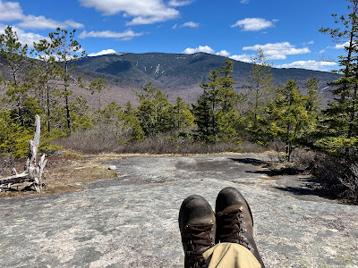
My favorite spot on Blueberry is this flat ledge just to the right of the trail that peers east at Mount Moosilauke and its South Peak, with a great look at the slides in Slide Ravine.
This ledge was made for lounging.
Continuing up through a belt of spruce woods to the top of the broad ridge.
I kept on past the summit spur trail and descended gently for 0.3 mile to the mountain's west-viewing ledges.
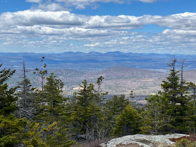
At this spot, by moving around a bit, you can take in the entire Green Mountain chain from the Jay Peaks in the north to Stratton Mountain in the south. Visibility was excellent, and I was even able to spot a 2017 slide I had recently learned about on Mount Ellen, between two trail networks of the Sugarbush ski resort.
The Killington Range is seen in the distance to the right of nearby Piermont Mountain.
The Signal Mountain range in west-central Vermont is especially prominent.
To the north are Blueberry's ledgy northern neighbors: Sugarloaf Mountain, Black Mountain and The Hogsback.
I retraced my steps to the short, ledgy summit spur, identified by this boulder and cairn.
Three bent iron pins and one stub indicate that the summit was a survey station for the U.S. Coast Survey in the 1870s. The views from here are fairly restricted.
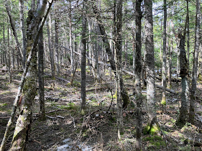
From the summit I headed NE along the ridgecrest, weaving for a quarter mile through deep spruce forest.
Not going that way.
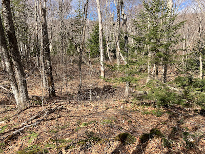
Hardwoods ahead!
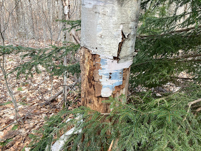
From 1930 to the mid-1940s the WMNF Jeffers Mountain Trail ran along this ridgecrest. It seems unlikely that any paint marking would endure after 80 years. What, then, would create this blue coloration?
I had traversed this ridge twice to Jeffers Mountain, most recently in 2010, and the most lasting memory was the spectacular open sugar maple forest on the southern crest.
For spring bushwhacking, it doesn't get much better than this.
Interesting quartzite outcrops dot the ridge.
A small ledge band cutting across the crest.
A spacious glade.
Another ledge band, very Catskill-like.
Possibly a corridor of the old Jeffers Mountain Trail?
Hardwood nirvana.
Flattening out at 2850 ft.
Moose sign was abundant.
Before heading back down the ridge - with a noontime start and long viewing stops on Blueberry there was no time to continue to the summit of Jeffers - I took a break in a little meadow with a partial view of Moosilauke.
On the return trip I passed by this picturesque corridor.
Evening light on Moosilauke at the Blueberry view ledge.
Clouds and shadows looking south. What a day!











No comments:
Post a Comment