Snapshots from a twelve-hour ramble on and off trail on the SW side of Mount Tripyramid, featuring spring flowers, varied woods, slides old and new, blowdowns and beaver meadows.
A patch of wood anemones alongside the Livermore Trail.
Painted trilliums.
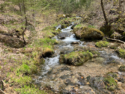
Slide Brook at the top of White Cascade.
Along the Livermore Trail.
It was a jackpot day for Dutchman's breeches at an off-trail location.
Red trillium.
More Dutchmen.
Close-up.
The flower glade.
Artifact from the original Avalanche Camp, early 1900s.
Woods along Avalanche Brook coming to life.
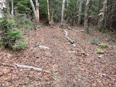
Old logging road near Cold Brook.
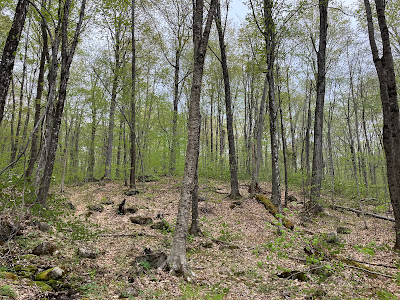
Hardwood dreams.
Was hoping for a trout lily bonanza, and found it.
Forest bathing.
Trout lily close-up.
Crossing Cold Brook.
Can this be called bushwhacking?
Ten days earlier there was a patch of snow one to two feet deep here, at the foot of the 1869 South Slide.
This little ridge beside the 1869 South Slide is a "debris flow levee." Debris flow is a more precise term for the type of landslides that occur in the Whites.
Following the Mount Tripyramid Trail up the lower open stretch of the 1869 South Slide.
View to the SW from the top of the open patch. Sandwich Dome and Jennings Peak on the left.
Lost Pass from an open patch that may be the westernmost of three tracks of the 1885 South Slide.
Mounts Tecumseh, Moosilauke and Osceola.
Continuing across to the 2011 South Slide, which apparently "refreshed" the central track of the 1885 South Slide.
Looking across the 2011 South Slide to Mount Tecumseh.
Bushwhacking to open patches on the easternmost track of the 1885 South Slide. Somewhere along these traverses between the slides the clinging conifers yanked a pair of sunglasses out of a zippered side pocket on my pack. A 45-minute search, more or less retracing my steps, proved fruitless.
Intimate view over the wild and remote Lost Pass region from an open patch on the eastern track of the 1885 South Slide. I would soon be heading that way.
Descending off-trail from the 1885 South Slide, crossing a headwater of Slide Brook.
Different kind of open woods in here.
Jumbled terrain ascending to a broad saddle between West Sleeper and its NW spur. Wild country out here!
Small meadow on the 3030-ft. saddle.
Blowdown devastation from the 2017 Halloween storm. West Sleeper in the background.
Good area for moose, and there were tracks and other signs of their presence.
On the south side of the saddle, a headwater of Cascade Brook.
Topsy-turvy forest.
Roadblock, detour needed.
Looking back at the way through. Good flexibility test.
Remote beaver meadow at the head of Cascade Brook. Spur ridge of East Sleeper in the distance.
South Tripyramid presides over the scene.
The clearing of Cascade Camp, used by loggers of the Parker-Young Company in the 1930s and 1940s, now traversed by a Waterville valley X-C ski trail.


No comments:
Post a Comment