I lucked out with a gorgeous spring day for a bushwhack to Hogback Mountain, one of the several wild, ledgy peaks on the long southern spurs of Mt. Tecumseh. Hogback has an elevation of 2770 ft. on the USGS quad, while the LiDAR map places it at 2749 ft. It has only ~50 ft. of prominence, so it is not on any of the regular peakbagging lists. I'd been to Hogback several times in winter over the years, but never via the approach via the Shattuck Brook valley. This route provided me with a full day in the woods.
I started the trek from the Welch-Dickey trailhead and followed the mellow Brown Ash Swamp Mountain Bike Trail (aka Dickey Notch Trail) into Dickey Notch, the gap between Dickey Mountain and Cone Mountain.
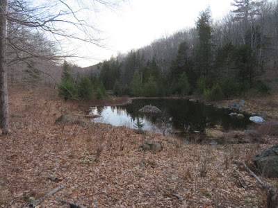
I always enjoy the stretch of trail that passes several small beaver ponds on the floor of the notch.
A former home, sweet, home.
Beautiful hardwood forest in the notch.
These woods resemble the magnificent hardwood forest of the Catskills.
From the end of the trail through Dickey Notch, where it meets FR 23C, I started whacking up the valley of Shattuck Brook. For a while I was following what looked like the old USFS Shattuck Brook Trail. It was shown as a rough woods road on official WMNF maps from 1917
through the 1930s, and as a trail in 1941 and 1942. It dead-ended high
in the valley. It was never described in the AMC White Mountain Guide, but the 1945 Supplement noted that it had been abandoned by the USFS.
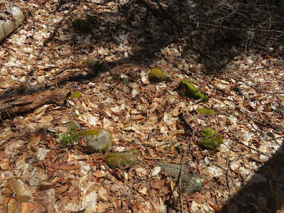
This looked like a very old fire ring.
Continuing up the valley through a rocky hardwood forest.
One of many boulders strewn amidst the trees.
A stout old sugar maple.
A nameless tributary of Shattuck Brook.
Heading up to the Fisher-Hogback col through open woods.
Park-like forest.
Yellow birch and red spruce are the predominant trees in these south-facing woods.
Boulder trio.
A favorite open glade at 2370 ft. I had ascended Fisher Mountain twice via this route, but this was the first time using it to access Hogback.
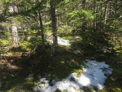
Into dark spruce woods for the last half-mile to Hogback's summit, with intermittent patches of ice and old crusty snow.
Prickly going through flattish, confusing terrain.
What a gift to break out onto the expansive open ledges of Hogback's summit! The pointy nearby peak is the SW spur of Green Mountain. In back on the left is the West Peak of Mt. Tecumseh. Obscured from roads and civilization by intervening ridges, this spot has a supreme sense of remoteness. A fine place to lounge for a while in the warm spring sun.
Wide view to the NW: Mt. Moosilauke, Mt. Wolf, the Kinsmans and Cannon. Underneath South Kinsman is the NW spur of Hogback, a ragged ledgy hump that gave the mountain its name. There are great views there as well, but a peek down towards the col revealed deep rotten snow, promising a quarter-mile of misery to get there. Time better spent enjoying the spot I was on.
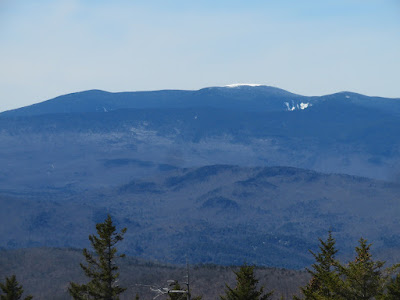
A fresh snowcap on the Moose, with the ice cliffs of Jobildunc Ravine to the right.
To the SW, Stinson, Carr and Kineo beyond the nearby hump of Fisher Mountain.
Cone Mountain and Dickey Notch, with Mt. Cardigan on the horizon.
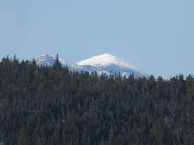
A blurry zoom on snow-caked Mt. Lafayette.
The descent off the summit was slow and careful, due to the slick and sometimes hidden icy patches, and the it-all-looks-the-same terrain. Along the way I heard the first winter wren of the spring.
Back down in the open woods, I paused to admire this rock overhang.
Another bushwhack, another birthday balloon.
Love these woods!
Easy roaming here for the moose.
Back down on the floor of the valley, inviting woods looking upstream.
One of a number of fine hemlocks along the Dickey Notch Trail.
Evening at the beaver ponds. Here two Barred Owls were hooting, one on either side of the notch. Nice ending to a fine day in the forest.










Glad you found another unique, remote spot!
ReplyDelete