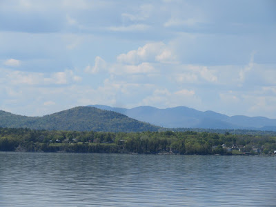
A long-awaited spring break in the Adirondacks! With a favorable forecast for the week ahead, I headed west to New York. As always, the best part of the drive was the ferry ride from Charlotte, VT to Essex, NY. Among the Adirondack peaks visible across the water was Jay Mountain, which was on my wish list for the week.
After checking into my rental place in Upper Jay, I took a short evening hike to a nearby viewpoint called Cobble Lookout, just past an intersection with the toll road up Mt. Whiteface.
This may be the easiest trail I've done to a good open viewpoint. In 1.3 miles it may ascend all of 200 feet. According to the ADK High Peaks guidebook, there had been an unofficial path leading to the outlook, but the state DEC built an official trail in 2016.
Wide views to the south and east for very little effort. Giant Mountain is seen in the distance to the south., right of center in the photo. Part of the wild Sentinel Range Wilderness is seen on the right. On the left are ridges in the Hurricane Mountain and Jay Mountain Wilderness Areas.
Zoom on Jay Mountain, the hike planned for the next day.
Close by to the southwest are Whiteface and Esther Mountains. Despite its proximity to the resort towns of Wilmington and Lake Placid, I had this spot to myself for more than an hour.
The next morning a short drive brought me to the remote trailhead for Jay Mountain, in the northeastern sector of the Adirondacks. With a mile and a half of mostly open ledge walking on its ridge, this hike had been on my wish list for years. There had been a well-beaten herd path up onto this ridge for many years, but it began on private land and eventually the land was posted. A few years ago the state built a new route up to the ridgecrest entirely on state land.
The 2.6 mile approach trail is very well-designed, climbing through the woods at moderate grades with numerous switchbacks. About halfway up it passes through a beautiful hardwood glade where many spring wildflowers were in bloom.
Red trilliums.
The biggest treat was the profusion of Dutchman's breeches carpeting the ground around the bases of large sugar maples.
The upper part of the trail angles across a neat slope of scrawny hardwoods.
Trout lilies galore.
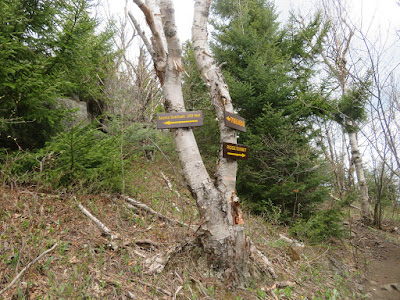
The official trail ends at the west end of the Jay Mountain ridge. Here a side path leads to the first of countless outlooks.
At the end of the spur path a ledgy knob offered a great view across a trailless valley known as Gelina Basin to the two summits of Jay Mountain on the right and the ledgy humps of US Mountain and Arnold Mountain on the left.
The Jay Mountain ridge provides a great perspective on Whiteface, with its slide scars surrounded by ski trails.
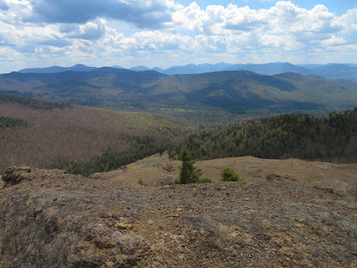
Now on an unmarked but well-beaten herd path, which does take care to follow at times, I came to the first of many sweeping vistas southwest out towards the High Peaks.
Long northern views from ledges on the other edge of the ridge.
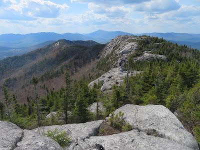
Looking ahead to the twin rock-crowned summits of Jay.
Walking on a boulevard of bedrock. This ridge was laid bare by a forest fire in 1908, and the open rock persists.
Nearby to the south is trailless Saddleback Mountain, the highest peak in the Jay Mountain Range. Seen below is the wetland known as Merriam Swamp.
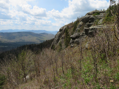
A rocky bluff along the ridge.
The ridgecrest path drops into and climbs out of several cols, sometimes steeply. The ups and downs make this hike more rugged than it would first appear. Wiry birches grow in these low spots.
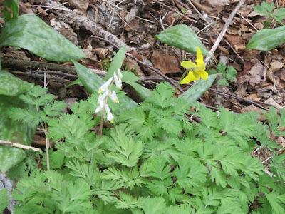
Two classic spring flowers, side-by-side.
A crowd of trout lilies facing in the same direction.
Climbing out of a col known as Grassy Notch, the path briefly takes on the rough character of a 46er herd path.
Endless views from a barren shoulder.
Looking back down the ridge.
The twin peaks loom ahead. The western peak (on the left) bears some resemblance to Mt. Chocorua's rocky cone.
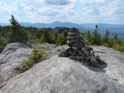
The tallest cairn on the ridge.
Approaching the rocky cone. Some good ledge scrambling in this stretch.
Fabulous views from the western summit. I spotted 33 of the 46 High Peaks from this spot.
The Great Range, with Mt. Marcy on the right.
Dix, Nippletop and Colvin (left to right).
The eastern summit is the true summit.
To get there, I had to traverse another steep notch. I down-scrambled most of this pitch, but backed off as at the bottom there was a nearly sheer 5 or 6 foot drop, which I was sure I would not be able to get back up.
I went back up and found a route around and down through a rough boulder field, emerging at the base of that steep pitch.
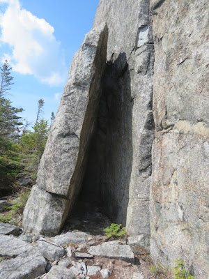
On the way up to the east summit, a false path leads along the base of a neat rock wall.
Seeing this feature was worth the short detour.
Looking back at the west summit, from near the top of the east peak.
But the actual high point was still father east, through a small col, to another knob marked with a cairn; elevation 3600 ft., #79 on the Adirondack Hundred Highest list.
I went back to the west knob of the east summit, perhaps the best vantage point of all, to savor the views for another half-hour before sauntering back across the open ridge. The hike to the true summit of Jay is 8.2 miles round trip with about 2950 ft. of elevation gain.











Great post. I hiked Jay Mtn for the 2nd time on 8/14/22, and I loved it, especially since I shared the adventure with some friends. It's great to be on the open ridge with spectacular 360-degree views. The two dogs on our hike did well with the rock scrambles, even the steep one just before the true summit. This hike has a bit of everything. It's a gem.
ReplyDelete